Featured partner
Recommended for Southend-on-Sea

ROAVR Group
Tree, ecology, flood risk and topographical surveys for planning applications.
4.9 Google rating
Get a quote
Local experts.
Featured partner
Recommended for Southend-on-Sea
Tree, ecology, flood risk and topographical surveys for planning applications.
4.9 Google rating
Local experts.
Geospatial survey practice based at 92 Bellhouse Lane, Leigh-on-Sea.
Essex-based survey practice with its HQ at Mapline House, 14 Bull Lane, Rayleigh.
Measured and topographical survey practice with a trading office in Essex at The Old…
Survey practice based at Unit 5, Coptfold Hall Farm, Writtle Road, Margaretting, Essex,…
A topographical survey in Southend-on-Sea is often needed to record levels and site features in the Clifftown Conservation Area or around the Prittlewell Conservation Area before a planning application is drawn up. Southend-on-Sea City Council is the local planning authority. Accurate levels matter in the Clifftown Conservation Area and around the Prittlewell Conservation Area, including on sites that may sit in areas of flood risk or where trees and historic buildings need to be recorded. A topographical survey is the usual way to record existing buildings, trees, boundaries and ground levels. It is a unitary seaside city on the Thames Estuary, quite unlike the inland market towns or the New Towns farther west, with official conservation areas at Clifftown, close to the seafront and pier, and at Prittlewell, around the historic settlement inland of the seafront. Confirm the current validation requirements with the council before submitting.
Local planning authority: Southend-on-Sea City Council
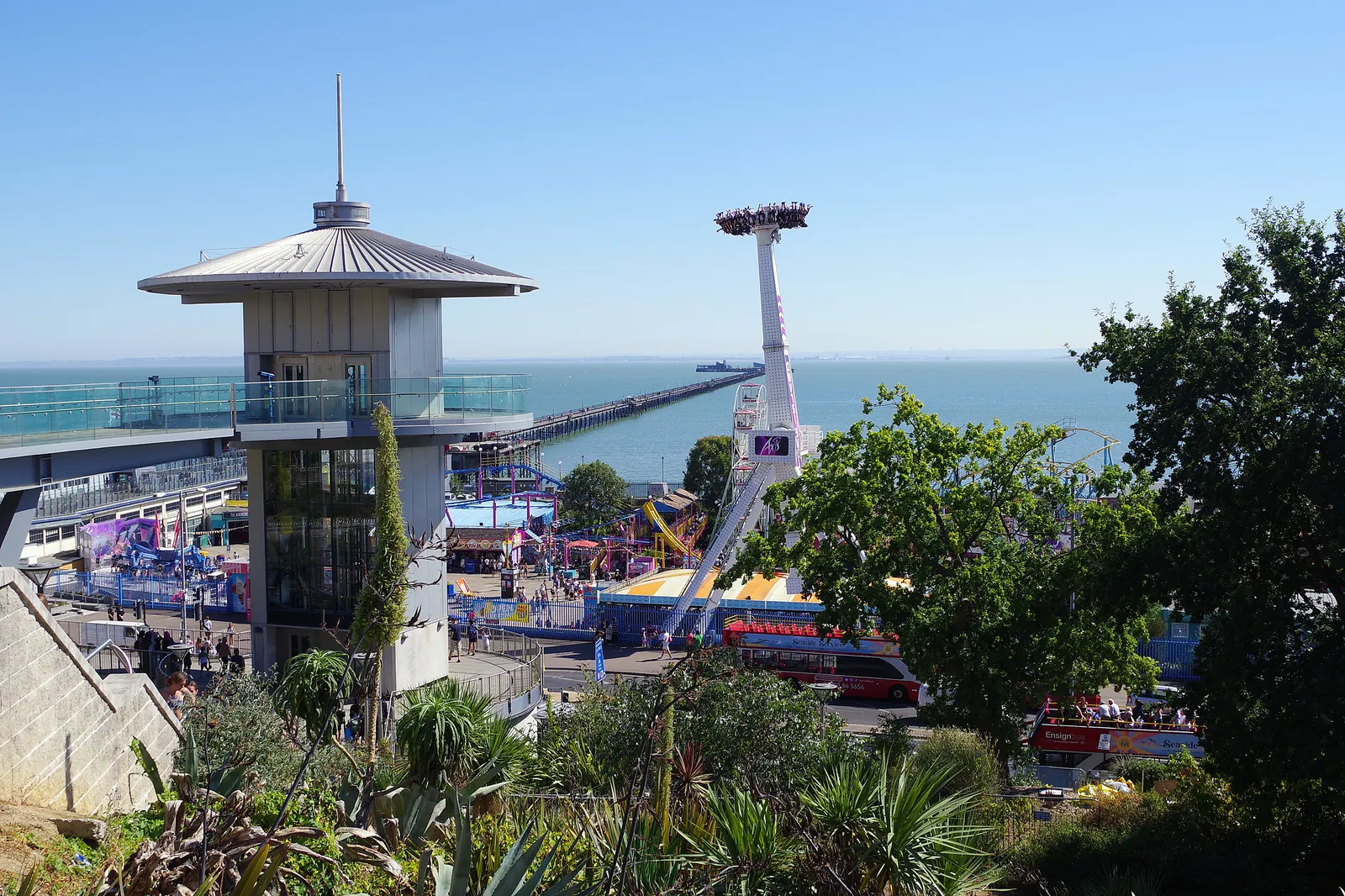
Southend-on-Sea is in the area of Southend-on-Sea City Council. It is a unitary seaside city on the Thames Estuary, quite unlike the inland market towns or the New Towns farther west, with official conservation areas at Clifftown, close to the seafront and pier, and at Prittlewell, around the historic settlement inland of the seafront. The Clifftown Conservation Area and the Prittlewell Conservation Area are the official features that shape topographical survey work here. Southend-on-Sea City Council is a unitary authority and is also the Lead Local Flood Authority. Southend-on-Sea City Council is the unitary local planning authority.
In Southend-on-Sea, including around the Clifftown Conservation Area and around the Prittlewell Conservation Area, the same adopted local plan policies apply. Southend-on-Sea City Council assesses site levels, flood risk and trees under Policy CP4 and Policy DM6 and Policy CP4 of the Southend-on-Sea Core Strategy and Development Management Document. A topographical survey is the usual way to record existing buildings, trees, boundaries and ground levels before a planning application is drawn up. Confirm the current validation requirements with the council before submitting.
Local plan: Southend-on-Sea Core Strategy and Development Management Document (The Southend-on-Sea Core Strategy, adopted on 13 December 2007, and the Development Management Document, adopted in July 2015, are the statutory development plan as of 15 November 2026. A replacement local plan had not been adopted.)
CP4: The Environment and Urban Renaissance
Policy CP4 (The Environment and Urban Renaissance) of the Southend-on-Sea Core Strategy, adopted on 13 December 2007, is the strategic environment policy of the adopted development plan. It requires development to protect and enhance the natural and built environment, including biodiversity and the coastline, and to address flood risk with a detailed flood risk assessment and sustainable mitigation where development is proposed in an area of flood risk.
DM6: The Seafront
Policy DM6 (The Seafront) of the Southend-on-Sea Development Management Document, adopted in July 2015, requires development on the seafront to consider flood risk and coastal change, to provide flood-resistant or flood-resilient design where appropriate, and not to impede the maintenance or improvement of flood defences.
General guidance for topographical survey, not formal advice for your site.
Southend-on-Sea City Council. Southend-on-Sea City Council is a unitary authority and is also the Lead Local Flood Authority. Southend-on-Sea City Council is the unitary local planning authority.
A topographical survey in Southend-on-Sea is often needed to record levels and site features in the Clifftown Conservation Area or around the Prittlewell Conservation Area before a planning application is drawn up. Confirm the current validation requirements with the council.
Accurate levels matter in the Clifftown Conservation Area and around the Prittlewell Conservation Area, including on sites that may sit in areas of flood risk or where historic buildings and trees need to be recorded. Confirm the current validation requirements with the council.
No other published town guides for this survey in the council area yet.