Featured partner
Recommended for Watford

ROAVR Group
Tree, ecology, flood risk and topographical surveys for planning applications.
4.9 Google rating
Get a quote
Local experts.
Featured partner
Recommended for Watford
Tree, ecology, flood risk and topographical surveys for planning applications.
4.9 Google rating
Local experts.
Land and measured-building survey practice with a London office in Crystal Palace.
Land and building surveying company with offices in Surrey (Dunsfold Park), London,…
Surveying and construction consultancy with its head office at Merrow Business Park in…
Measured building and land surveyors trading from 111 Gosterwood Street in Deptford, in…
A topographical survey in Watford should pick up levels along the River Gade through Cassiobury Park, the River Colne and the Grand Union Canal, and features in the High Street and King Street Conservation Area. Accurate levels matter for flood risk assessment as well as for layout. The local planning authority is Watford Borough Council. Policy NE9.4 of the Watford Local Plan 2021-2038, adopted on 17 October 2022, depends on reliable site levels, including the eight-metre main-river buffer and finished floor levels in flood zones.
Local planning authority: Watford Borough Council
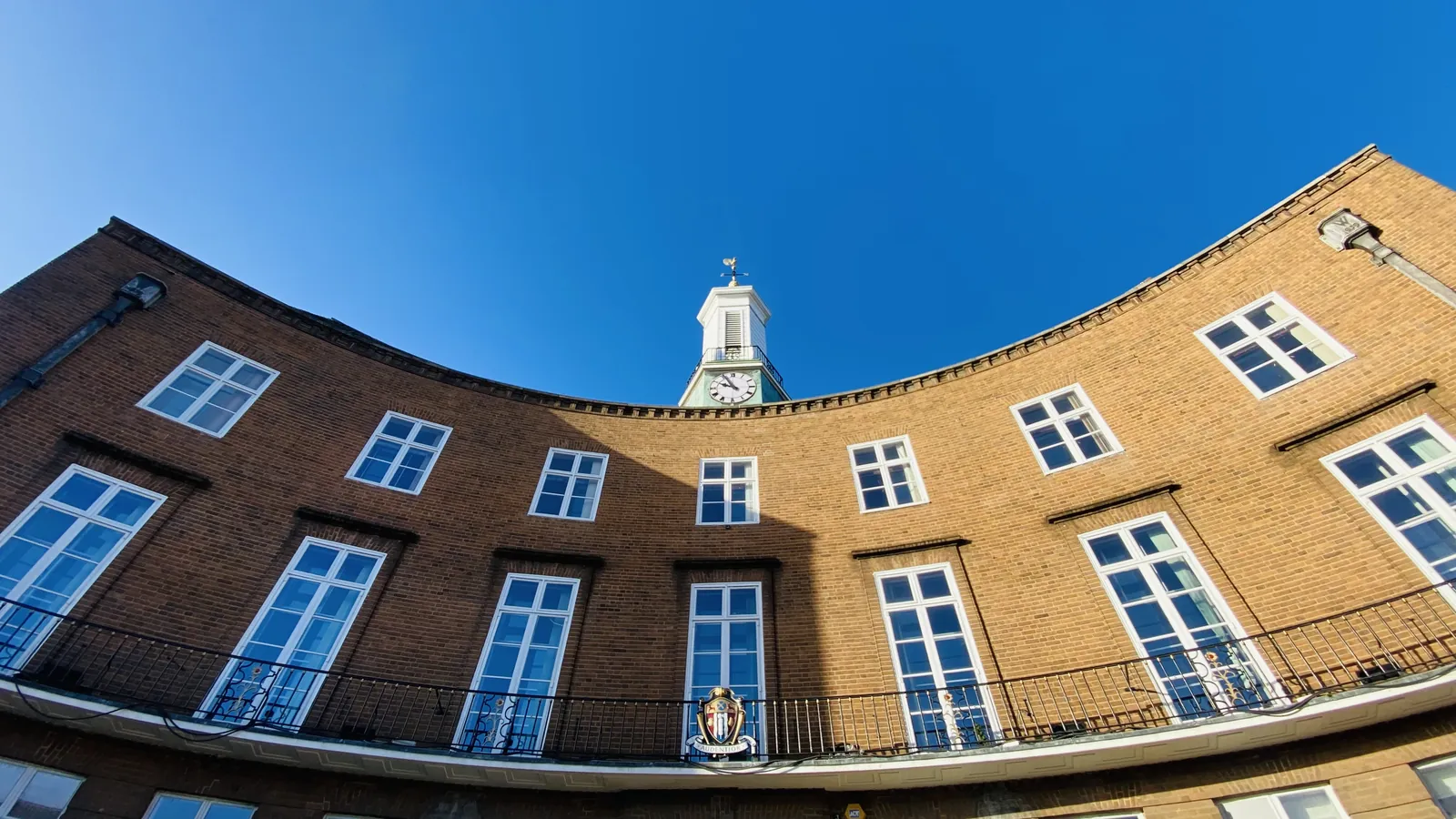
The River Gade, River Colne and Grand Union Canal have subtle changes in bank, towpath and threshold level. A survey should record those, together with trees in the High Street and King Street Conservation Area or Cassiobury Park where they constrain the layout, and should be coordinated with a flood risk assessment.
Watford Borough Council will expect drawings that rely on site levels, including flood risk assessments under Policy NE9.4 of the Watford Local Plan 2021-2038, adopted on 17 October 2022, and tree or landscape work under Strategic Policy NE9.1. A topographical survey is often the evidence that ties those assessments together. Confirm the current validation requirements with the council before submitting.
Local plan: Watford Local Plan 2021-2038 (Adopted on 17 October 2022 and still in force as of 13 November 2026.)
NE9.1: The Natural Environment
Requires development to demonstrate a positive impact on Watford's natural environment, including measurable biodiversity net gain following the mitigation hierarchy, protection of trees and native planting, and treating protected species and their habitats as a material consideration. Where the natural environment has not been appropriately assessed, planning permission will be refused.
General guidance for topographical survey, not formal advice for your site.
Watford Borough Council is the local planning authority.
A topographical survey is likely where flood risk, trees or a change in levels would affect the layout, including sites on the River Gade, River Colne or Grand Union Canal and in the High Street and King Street Conservation Area. Confirm the current validation requirements with the council.
Yes. The River Gade through Cassiobury Park, the River Colne and the Grand Union Canal all have level-sensitive frontages, and Policy NE9.4 depends on accurate levels.
No other published town guides for this survey in the council area yet.