Featured partner
Recommended for Whittlesey

ROAVR Group
Tree, ecology, flood risk and topographical surveys for planning applications.
4.9 Google rating
Get a quote
Local experts.
Featured partner
Recommended for Whittlesey
Tree, ecology, flood risk and topographical surveys for planning applications.
4.9 Google rating
Local experts.
Land surveying practice, a division of SML Geospatial, whose own site publishes a head…
Land and measured building survey practice whose own site publishes an address at 62…
Multidisciplinary consultancy whose own site publishes a Cambridgeshire office at…
Planning and surveying practice whose own site publishes a Cambridgeshire office at…
A topographical survey in Whittlesey is often needed where work could affect the Whittlesey Conservation Area, or the Nene Washes. Fenland District Council is the local planning authority. Measured survey work is often used to record levels, trees and built form in the Whittlesey Conservation Area and at the Nene Washes before a planning application is drawn up. It is a historic Fenland town around the official Whittlesey Conservation Area and the Nene Washes, quite unlike Wisbech or March. The adopted Fenland Local Plan applies here. Confirm the current validation requirements with the council before submitting.
Local planning authority: Fenland District Council
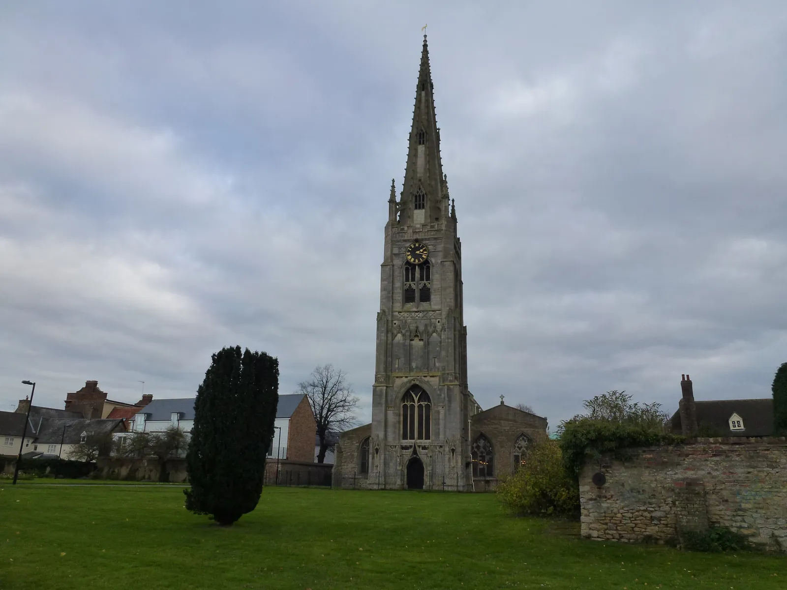
Whittlesey is in the area of Fenland District Council. It is a historic Fenland town around the official Whittlesey Conservation Area and the Nene Washes, quite unlike Wisbech or March. The adopted Fenland Local Plan applies here. The Whittlesey Conservation Area and the Nene Washes are the official features that shape topographical survey work here. Cambridgeshire County Council is the Lead Local Flood Authority. There is no confirmed successor council for Fenland.
In Whittlesey, including around the Whittlesey Conservation Area and at the Nene Washes, the same adopted local plan policies apply. Fenland District Council uses topographical information to assess proposals around official features, including the Whittlesey Conservation Area and the Nene Washes. Policy LP16 (Delivering and Protecting High Quality Environments across the District) of the Fenland Local Plan, adopted on 8 May 2014, requires development proposals to make a positive contribution to the local distinctiveness and character of the area. Confirm the current validation requirements with the council before submitting.
Local plan: Fenland Local Plan (adopted)
LP16: Delivering and Protecting High Quality Environments across the District
Policy LP16 (Delivering and Protecting High Quality Environments across the District) of the Fenland Local Plan, adopted on 8 May 2014, requires development proposals to make a positive contribution to the local distinctiveness and character of the area.
LP19: The Natural Environment
Policy LP19 (The Natural Environment) of the Fenland Local Plan, adopted on 8 May 2014, sets out the approach to conserve, enhance and protect the biodiversity and geological interest of the natural environment. The policy does not set a higher than statutory biodiversity net gain percentage. Fenland District Council applies the statutory 10 per cent minimum.
LP14: Responding to Climate Change and Managing the Risk of Flooding in Fenland
Policy LP14 (Responding to Climate Change and Managing the Risk of Flooding in Fenland) of the Fenland Local Plan, adopted on 8 May 2014, requires development proposals to take account of flood risk issues and ensures that new development will be resilient to the potential consequences of flooding.
General guidance for topographical survey, not formal advice for your site.
Fenland District Council. Cambridgeshire County Council is the Lead Local Flood Authority. There is no confirmed successor council for Fenland.
A topographical survey in Whittlesey is often needed to record levels, trees and built form in the Whittlesey Conservation Area or at the Nene Washes before a planning application is drawn up. Confirm the current validation requirements with the council.
Accurate levels and feature locations help show how a proposal relates to the Whittlesey Conservation Area and the Nene Washes, including trees, water and built form. Confirm the current validation requirements with the council.