Featured partner
Recommended for Wimbledon

ROAVR Group
Tree, ecology, flood risk and topographical surveys for planning applications.
4.9 Google rating
Get a quote
Local experts.
Featured partner
Recommended for Wimbledon
Tree, ecology, flood risk and topographical surveys for planning applications.
4.9 Google rating
Local experts.
Land and building surveying company with offices in Surrey (Dunsfold Park), London,…
Land and measured-building survey practice with a London office in Crystal Palace.
Land survey and site engineering practice based in Chesham, north-west of the M25.
Surveying and construction consultancy with its head office at Merrow Business Park in…
Levels around Wimbledon Town Centre, Wimbledon Park and the wooded slopes up to Wimbledon Village are a frequent reason for a topographical survey in Wimbledon. An accurate survey of the site, neighbouring land and any nearby watercourse supports drainage design, tree protection and layout. The local planning authority is the London Borough of Merton. The Local Validation Checklist 2025, updated June 2026, asks for a topographical survey alongside a tree survey where trees on or next to the site could be affected. Policy F15.8 of the Merton Local Plan, adopted on 20 November 2024, also relies on accurate site information to set development back from main rivers and ordinary watercourses. Policy SI13 of the London Plan, published on 2 March 2021, also forms part of the development plan.
Local planning authority: London Borough of Merton
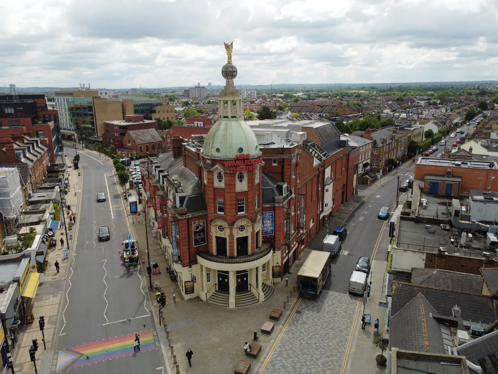
A topographical survey in Wimbledon should record the fall of the land between Wimbledon Town Centre, Wimbledon Village and Wimbledon Park, and any ditch, bank or watercourse linked to Beverley Brook or, in other parts of the borough, the River Wandle and the Wandle Valley Regional Park. The same survey is often used to plot root protection areas and to support a flood risk or drainage assessment.
The London Borough of Merton uses topographical information to support tree, flood and design policies in the Merton Local Plan, adopted on 20 November 2024, including Policies O15.4 and F15.8, together with the London Plan, published on 2 March 2021. The Local Validation Checklist 2025, updated June 2026, expressly asks for a topographical survey with tree survey work where trees could be affected. Confirm the current local validation requirements with the council before submitting.
Local plan: Merton Local Plan 2024–2037/38 (adopted 20 November 2024) and The London Plan 2021 (published 2 March 2021) (The Merton Local Plan was formally adopted on 20 November 2024 and replaced the Sites and Policies Plan 2014, the Policies Map 2014 and the Core Planning Strategy 2011. The London Plan 2021, published on 2 March 2021, also forms part of the development plan. The draft London Plan 2026 is in consultation and is not adopted. There is no 2027 successor council. The London Borough of Merton is the local planning authority and the Lead Local Flood Authority.)
O15.3: Biodiversity and Access to Nature
Protects Sites of Recognised Nature Conservation Interest, protected and priority species and habitats, and Green Corridors, and requires development to contribute at least 10 per cent biodiversity net gain in accordance with statutory requirements and national guidance. A 10 metre buffer to watercourses should be restored where feasible.
O15.4: Protection of Trees, Hedges and Other Landscape Features
Requires development to protect and retain trees, hedges and other landscape features of amenity value on the site and on adjoining land wherever possible. Loss is only justified in limited cases, with high-quality replacement of equal value on site, or a financial contribution if on-site provision is agreed not to be possible. Additional tree planting is expected where appropriate, and Tree Preservation Orders will be used to safeguard significant trees.
O15.6: Wandle Valley Regional Park
Seeks to protect the Wandle Valley Regional Park and maintain it as a strategic, biodiverse and accessible corridor through the borough, including improved walking and cycling connections and the Wandle Trail.
F15.7: Flood Risk Management and Sustainable Drainage
Sets out how the council, as Lead Local Flood Authority, will steer development to areas of lowest flood risk, implement the Strategic Flood Risk Assessment and Local Flood Risk Management Strategy, and require flood resilience and, on major development, sustainable drainage and water-efficiency measures.
F15.8: Managing Local Flooding
Requires flood risk assessments and drainage strategies to use the latest climate change allowances, a sequential approach to site layout, and buildings to be set back at least 8 metres from main rivers and 5 metres from ordinary watercourses. A Flood Emergency Plan is required in Flood Zones 2 and 3, or on sites at high risk of surface water flooding, for 10 or more dwellings, 1,000 square metres or more of non-residential development, or where safe access cannot be achieved.
F15.9: Sustainable Drainage Systems (SUDS)
Requires development to include sustainable drainage to manage surface water runoff and to deliver biodiversity, amenity and water-quality benefits, in line with the borough's role as Lead Local Flood Authority.
General guidance for topographical survey, not formal advice for your site.
The London Borough of Merton. The London Plan also forms part of the development plan. The borough is the Lead Local Flood Authority. There is no 2027 successor council for this borough.
The Local Validation Checklist 2025, updated June 2026, asks for one with a tree survey where trees on or next to the site could be affected. Accurate levels are also needed to apply the river set-back distances in Policy F15.8 and to support drainage design.
Yes. The London Plan, published on 2 March 2021, forms part of the development plan alongside the Merton Local Plan adopted on 20 November 2024.
No other published town guides for this survey in the council area yet.