Featured partner
Recommended for Worthing

ROAVR Group
Tree, ecology, flood risk and topographical surveys for planning applications.
4.9 Google rating
Get a quote
Local experts.
Featured partner
Recommended for Worthing
Tree, ecology, flood risk and topographical surveys for planning applications.
4.9 Google rating
Local experts.
Land survey practice whose own contact page publishes a Worthing address at 15 Cherry…
Land and measured survey practice whose own contact and topographical pages publish a…
Land and building surveying company with offices in Surrey (Dunsfold Park), London,…
Land and measured survey practice whose own contact and topographical-surveys pages…
A topographical survey in Worthing is often needed to record levels and site features in the Steyne Gardens Conservation Area or around the Marine Parade and Hinterland Conservation Area before a planning application is drawn up. Worthing Borough Council is the local planning authority. Accurate levels matter in the Steyne Gardens Conservation Area and around the Marine Parade and Hinterland Conservation Area, including on sites that may sit in areas of flood risk or where trees and historic buildings need to be recorded. A topographical survey is the usual way to record existing buildings, trees, boundaries and ground levels. It is a coastal borough around Steyne Gardens Conservation Area and the Marine Parade and Hinterland Conservation Area, quite unlike Shoreham-by-Sea at the mouth of the River Adur to the east. Confirm the current validation requirements with the council before submitting.
Local planning authority: Worthing Borough Council
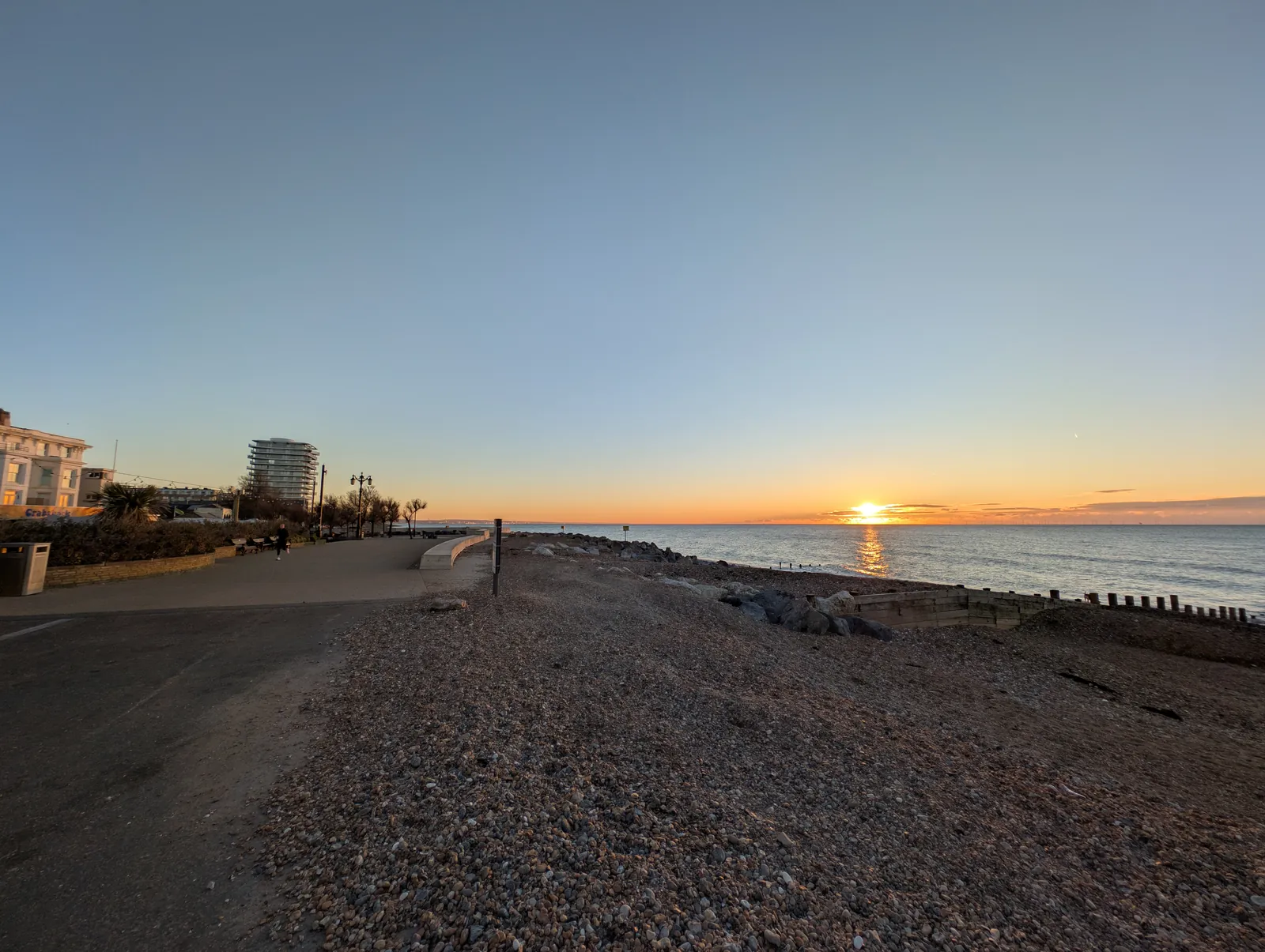
Worthing is in the area of Worthing Borough Council. It is a coastal borough around Steyne Gardens Conservation Area and the Marine Parade and Hinterland Conservation Area, quite unlike Shoreham-by-Sea at the mouth of the River Adur to the east. The Steyne Gardens Conservation Area and the Marine Parade and Hinterland Conservation Area are the official features that shape topographical survey work here. West Sussex County Council is the Lead Local Flood Authority. There is no confirmed 2027 successor council for West Sussex.
In Worthing, including around the Steyne Gardens Conservation Area and around the Marine Parade and Hinterland Conservation Area, the same adopted local plan policies apply. Worthing Borough Council assesses site levels, flood risk and trees under Policy DM20 and Policy DM19 of the Worthing Local Plan. A topographical survey is the usual way to record existing buildings, trees, boundaries and ground levels before a planning application is drawn up. Confirm the current validation requirements with the council before submitting.
Local plan: Worthing Local Plan (The Worthing Local Plan, adopted on 28 March 2023, is the statutory local plan as of 15 November 2026 and covers 2020–2036. A later local plan had not been adopted as of that date.)
DM18: Biodiversity
Policy DM18 (Biodiversity) of the Worthing Local Plan requires new developments, excluding change of use and householder applications, to provide a minimum of 10 per cent net gain for biodiversity, where possible on site. Where it is achievable, a 20 per cent or greater onsite net gain is encouraged and is required for development on previously developed sites. After the National Planning Policy Framework published on 17 August 2026, qualifying applications are assessed against the statutory 10 per cent minimum except on a justified site allocation.
General guidance for topographical survey, not formal advice for your site.
Worthing Borough Council. West Sussex County Council is the Lead Local Flood Authority. There is no confirmed 2027 successor council for West Sussex.
A topographical survey in Worthing is often needed to record levels and site features in the Steyne Gardens Conservation Area or around the Marine Parade and Hinterland Conservation Area before a planning application is drawn up. Confirm the current validation requirements with the council.
Accurate levels matter in the Steyne Gardens Conservation Area and around the Marine Parade and Hinterland Conservation Area, including on sites that may sit in areas of flood risk or where historic buildings and trees need to be recorded. Confirm the current validation requirements with the council.
No other published town guides for this survey in the council area yet.