Featured partner
Recommended for Bagshot

ROAVR Group
Tree, ecology, flood risk and topographical surveys for planning applications.
4.9 Google rating
Get a quote
Local experts.
Featured partner
Recommended for Bagshot
Tree, ecology, flood risk and topographical surveys for planning applications.
4.9 Google rating
Local experts.
Independent arboricultural consultancy based in Coulsdon.
Farnham-based tree consultancy led by Alex Needs, a Chartered Arboriculturist and…
Environmental consultancy founded in 2004, with its head office on the Surrey Research…
Multi-disciplinary practice founded in 1985, offering arboriculture, ecology, landscape…
Bagshot is an A30 village with its own High Street, separate from Camberley's later town centre, and a tree survey is often needed where work could affect trees in the Bagshot Village Conservation Area or around the Bagshot Church Road Conservation Area. Surrey Heath Borough Council is the local planning authority. Trees in the High Street plots and along Church Road often need a BS5837 survey, and works in a conservation area may also need notice to the council. Bagshot is a distinct A30 village with its own High Street and church core, separate from Camberley's later military and town-centre streets. A BS5837 survey is the usual way to record trees on and next to the site. Confirm the current validation requirements with the council before submitting.
Local planning authority: Surrey Heath Borough Council
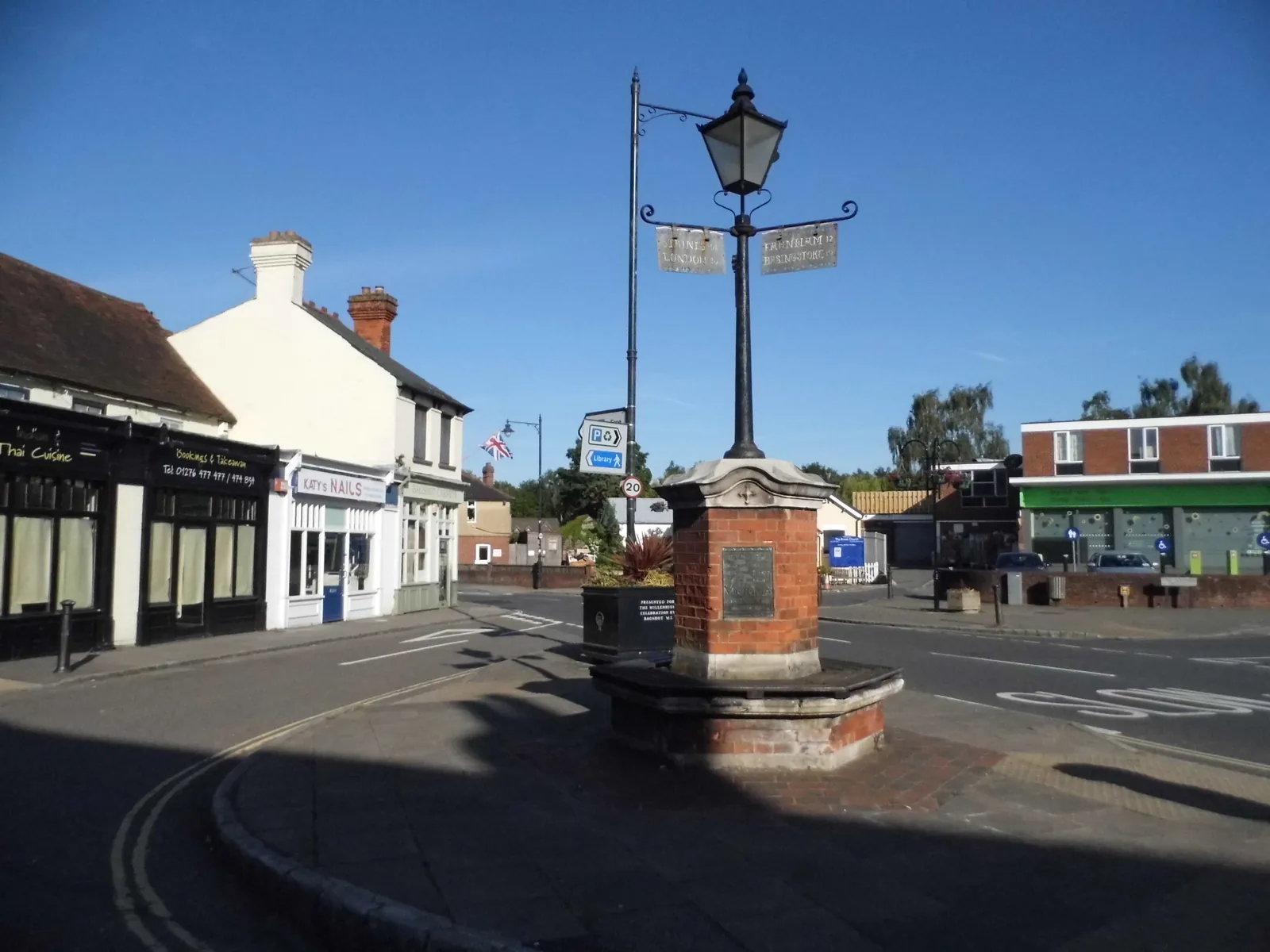
Bagshot is in the area of Surrey Heath Borough Council. Bagshot is a distinct A30 village with its own High Street and church core, separate from Camberley's later military and town-centre streets. The Bagshot Village Conservation Area and the Bagshot Church Road Conservation Area are the official features that shape survey work here. Surrey County Council is the Lead Local Flood Authority. From 1 April 2027 planning powers pass to the new West Surrey unitary council under local government reorganisation.
In Bagshot, including around Bagshot Village Conservation Area and Bagshot Church Road Conservation Area, the same adopted local plan policies apply. Surrey Heath Borough Council decides applications against Policy DM9 (Design Principles) of the Core Strategy and Development Management Policies DPD, adopted 1 February 2012. DM9 requires development to protect trees and other vegetation worthy of retention and to provide high quality hard and soft landscaping where appropriate. Where a site is close to Broadmoor to Bagshot Woods and Heaths or other SPA or SSSI land, Policies CP14A and CP14B also apply. The Local Validation List 2025 requires a BS5837 tree survey, including an arboricultural impact assessment, arboricultural method statement and tree protection plan, for trees with a diameter greater than 75 mm within influencing distance of the proposed development, prepared by a qualified arboriculturist with professional indemnity insurance. Applicants should confirm the current list with the council before submitting. Confirm the current validation requirements with the council before submitting.
Local plan: Core Strategy and Development Management Policies Development Plan Document (2012), extant saved policies of the Local Plan 2000, and the Camberley Town Centre Area Action Plan (Adopted. The Core Strategy and Development Management Policies DPD was adopted on 1 February 2012 and covers the period 2011 to 2028. It remains the statutory development plan, together with saved Local Plan 2000 policies and the Camberley Town Centre Area Action Plan, until replaced.)
CP14A: Biodiversity and Nature Conservation
Seeks to conserve and enhance biodiversity in Surrey Heath. Development that results in harm to or loss of features of interest for biodiversity will not be permitted. Particular regard is had to SPAs and SACs, SSSIs, and local sites including ancient woodland. Outside those areas, new development will where appropriate be required to contribute to the protection, management and enhancement of biodiversity.
CP13: Green Infrastructure
Seeks a network of accessible and integrated green infrastructure. Schemes that enhance existing green infrastructure, increase provision or improve connectivity are encouraged. Development that results in the loss, fragmentation or isolation of green infrastructure will be resisted. Strategic green infrastructure includes European sites and SANGs.
DM9: Design Principles
Among other design tests, development is acceptable where it protects trees and other vegetation worthy of retention and provides high quality hard and soft landscaping where appropriate.
CP14B: European Sites
Development is permitted only where it will not give rise to a likely significant adverse effect on the integrity of the Thames Basin Heaths SPA and/or the Thursley, Ash, Pirbright & Chobham Common SAC. No net new residential development is permitted within 400 m of the SPA. All net new residential development within 5 km must provide or contribute to SANG (at least 8 ha per 1,000 new occupants) and contribute to SAMM, in accordance with the adopted Avoidance Strategy. Developments of 10 or more net new dwellings are only permitted within identified SANG catchment areas.
DM10: Development and Flood Risk
Takes a sequential approach to flood risk. Development in Flood Zones 2 and 3, on sites of 1 ha or greater in Zone 1, and on sites at medium or high risk from other sources of flooding identified in the SFRA, will not be supported unless the sequential and exception tests are passed where relevant, a site-specific flood risk assessment shows the proposal would reduce risk or at least be risk-neutral, and any identified risks can be reduced to acceptable levels through design and mitigation. Development is expected to reduce the volume and rate of surface water run-off through appropriately designed SuDS.
General guidance for tree survey (bs5837), not formal advice for your site.
Surrey Heath Borough Council. From 1 April 2027 planning powers pass to the new West Surrey unitary council under local government reorganisation. Surrey County Council is the Lead Local Flood Authority.
A tree survey is often needed where work could affect trees in the Bagshot Village Conservation Area or around the Bagshot Church Road Conservation Area. A BS5837 survey is the usual way to record trees on and next to the site. Confirm the current validation requirements with the council.
They often do. Works to trees in a conservation area may also need notice to the council, and trees around the Bagshot Church Road Conservation Area can be part of the same assessment. Confirm the current validation requirements with the council.