Featured partner
Recommended for Chorleywood

ROAVR Group
Tree, ecology, flood risk and topographical surveys for planning applications.
4.9 Google rating
Get a quote
Local experts.
Featured partner
Recommended for Chorleywood
Tree, ecology, flood risk and topographical surveys for planning applications.
4.9 Google rating
Local experts.
Independent arboricultural consultancy based in Ruislip and at Carpenders Park, near…
Independent arboricultural consultancy based in Radlett, just north of the London…
London arboricultural consultancy with a trading office at Rathbone Place, Fitzrovia.
Environmental consultancy founded in 2004, with its head office on the Surrey Research…
Chorleywood sits on the Metropolitan line just north of the M25, and a tree survey is often needed where development could affect trees in the Chorleywood Common Conservation Area or the Chorleywood Station Estate Conservation Area. Three Rivers District Council is the local planning authority. The Development Management Policies Local Development Document, adopted on 26 July 2013, and the Core Strategy, adopted on 17 October 2011, guide how trees and landscaping are treated. The Common is a large historic open space with scattered trees, while the Station Estate is a planned early-twentieth-century garden suburb around the station. A BS5837 survey is the usual way to record trees on and next to the site. Confirm the current validation requirements with the council before submitting.
Local planning authority: Three Rivers District Council
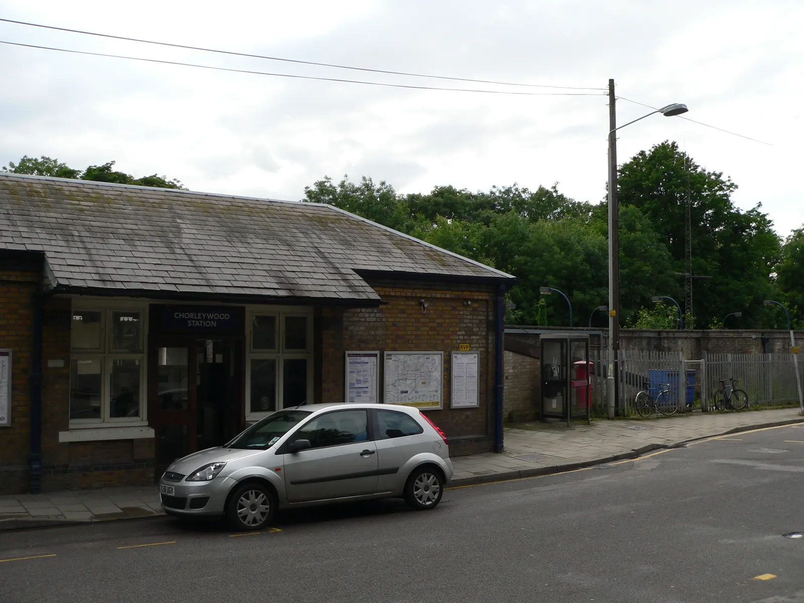
Chorleywood is a Three Rivers District Council village just north of the M25, distinct from Rickmansworth at the Colne, Chess and Gade confluence. The Chorleywood Common Conservation Area and the Chorleywood Station Estate Conservation Area are the official local designations. Hertfordshire County Council is the Lead Local Flood Authority. There is no confirmed 2027 successor council.
In Chorleywood, including around Chorleywood Common Conservation Area and Chorleywood Station Estate Conservation Area, the same adopted local plan policies apply. Three Rivers District Council assesses tree and landscape issues under Policy DM6 of the Development Management Policies Local Development Document, adopted on 26 July 2013, and Policy CP9 of the Core Strategy, adopted on 17 October 2011. Confirm the current validation requirements with the council before submitting.
Local plan: Three Rivers Local Plan (Core Strategy, Development Management Policies Local Development Document, and Site Allocations Local Development Document) (The Core Strategy was adopted on 17 October 2011, the Development Management Policies Local Development Document on 26 July 2013, and the Site Allocations Local Development Document on 25 November 2014. These remain the adopted development plan as of 13 November 2026.)
CP9: Green Infrastructure
Seeks a net gain in the quality and quantity of Green Infrastructure, focusing on the corridors of the Rivers Chess, Colne and Gade and the Grand Union Canal, the Chilterns AONB, the Colne Valley Park, and designated wildlife sites. Development must not compromise the integrity of the network by causing fragmentation, damage or isolation of assets.
DM6: Biodiversity, Trees, Woodlands, Watercourses and Landscaping
Requires development to result in no net loss of biodiversity value across the district. Adverse impacts on SSSIs, Local Nature Reserves, Local Wildlife Sites or protected species will not be permitted unless the need outweighs the harm and mitigation and compensation can maintain biodiversity. Existing trees and hedgerows should be retained, safeguarded to British Standards, and replaced if removal is permitted. Permission will be refused for loss or deterioration of protected woodland, including ancient woodland, and protected, aged or veteran trees, unless conditions can secure their protection. Development next to a watercourse should take account of the Water Framework Directive and the Thames River Basin Management Plan.
General guidance for tree survey (bs5837), not formal advice for your site.
Three Rivers District Council is the local planning authority. Hertfordshire County Council is the Lead Local Flood Authority. There is no confirmed 2027 successor council.
Adopted tree and landscape policies apply where trees or hedgerows could be affected, including in the Chorleywood Common Conservation Area and the Chorleywood Station Estate Conservation Area. A BS5837 survey is the usual way to record trees on and next to the site. Confirm the current validation requirements with the council.
They often do. The Common has scattered historic trees, and the Station Estate is a tree-lined garden suburb. Works in the conservation areas may also need notice to the council.