Featured partner
Recommended for Lingfield

ROAVR Group
Tree, ecology, flood risk and topographical surveys for planning applications.
4.9 Google rating
Get a quote
Local experts.
Featured partner
Recommended for Lingfield
Tree, ecology, flood risk and topographical surveys for planning applications.
4.9 Google rating
Local experts.
Independent arboricultural consultancy based in Coulsdon.
Environmental consultancy founded in 2004, with its head office on the Surrey Research…
Multi-disciplinary practice founded in 1985, offering arboriculture, ecology, landscape…
Farnham-based tree consultancy led by Alex Needs, a Chartered Arboriculturist and…
Lingfield is a compact Weald village with a racecourse on its southern edge, and a tree survey is often needed where work could affect trees in the Lingfield Conservation Area or around the Lingfield Racecourse. Tandridge District Council is the local planning authority. Trees around Gun Pond, Church Town and the High Street, and boundary trees toward the racecourse, often need a BS5837 survey. Lingfield is a compact Weald village around Gun Pond, Church Town and the High Street, with the racecourse as a major neighbouring land use, quite unlike Oxted or Caterham. A BS5837 survey is the usual way to record trees on and next to the site. Confirm the current validation requirements with the council before submitting.
Local planning authority: Tandridge District Council
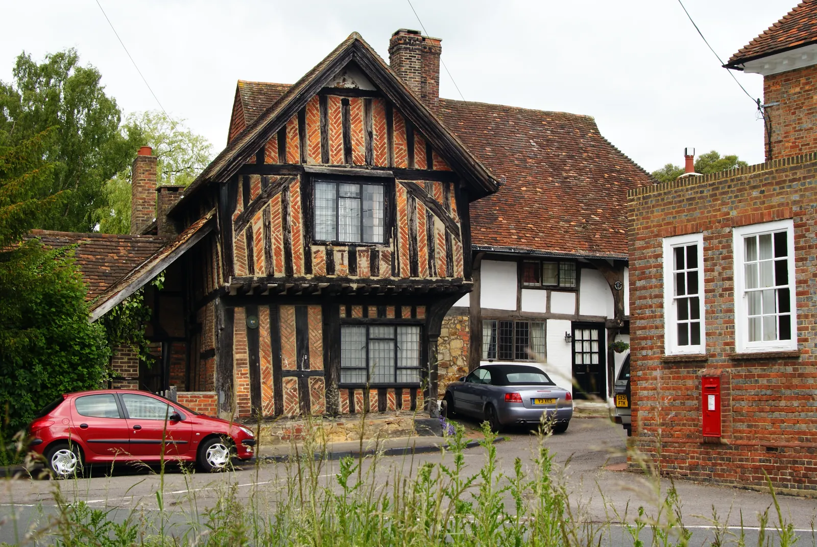
Lingfield is in the area of Tandridge District Council. Lingfield is a compact Weald village around Gun Pond, Church Town and the High Street, with the racecourse as a major neighbouring land use, quite unlike Oxted or Caterham. The Lingfield Conservation Area and the Lingfield Racecourse are the official features that shape survey work here. Surrey County Council is the Lead Local Flood Authority. From 1 April 2027 planning powers pass to the new East Surrey unitary council under local government reorganisation.
In Lingfield, including around Lingfield Conservation Area and Lingfield Racecourse, the same adopted local plan policies apply. Tandridge District Council assesses tree and landscape issues under Policy DP7 of the Detailed Policies, adopted on 24 July 2014, together with Policy CSP18 of the Core Strategy, adopted on 15 October 2008, which protects wooded hillsides and tree cover in Valley. Policy DP7 expects important trees to be retained and allowed space to mature, and may require replacement planting where trees are removed before an application. Confirm the current local validation requirements with the council before submitting. Confirm the current validation requirements with the council before submitting.
Local plan: Tandridge District Core Strategy (adopted 15 October 2008) and Local Plan Part 2: Detailed Policies (adopted 24 July 2014) (The Core Strategy was adopted on 15 October 2008 and the Detailed Policies on 24 July 2014. These remain the adopted development plan as of 13 November 2026. The Caterham, Chaldon and Whyteleafe Neighbourhood Plan was made on 18 June 2026. A new Tandridge District Local Plan 2027-2042 is at Regulation 19 stage (publication October 2026) and is not adopted. Under local government reorganisation, plan-making passes to the new East Surrey unitary council on 1 April 2027.)
DP19: Biodiversity, Geological Conservation & Green Infrastructure
Supports proposals that protect, enhance or increase green infrastructure and restore or create Priority Habitats. Proposals that would cause significant harm to designated sites or the wider GI network will be refused unless reasonable alternatives are unsuitable and harm is avoided, mitigated or, as a last resort, compensated. Harm to irreplaceable assets such as SSSIs, ancient woodland or veteran trees will only be permitted in wholly exceptional circumstances, and overall ecological benefits should be delivered. Development affecting protected or Priority species is only permitted where the species will not be harmed or appropriate mitigation is put in place. The policy does not set a biodiversity net gain percentage.
CSP17: Biodiversity
Requires development proposals to protect biodiversity and provide for the maintenance, enhancement, restoration and, if possible, expansion of biodiversity, by aiming to restore or create suitable semi-natural habitats and ecological networks in accordance with the aims of the Surrey Biodiversity Action Plan. It does not set a net gain percentage. The reasoned justification notes there are no European sites in Tandridge, but Ashdown Forest and the Mole Gap to Reigate Escarpment lie nearby.
DP21: Sustainable Water Management
Supports restoring natural flows and functional floodplain. Proposals should reduce the cause and impact of flooding, including through green infrastructure for flood storage and SuDS, with runoff restricted to the pre-development rate and maintenance considered. Development in Flood Zones 2 and 3, on sites of 1 hectare or more in Zone 1, or on sites at medium or high risk from other sources of flooding identified in the SFRA, is only permitted where the sequential and, where appropriate, exception tests are passed, a site-specific flood risk assessment shows risk is reduced or at least risk-neutral, and flood-resilient and resistant design is included.
DP7: General Policy for New Development
Requires landscaping to be an integral part of layout design, with new planting and the retention of important trees, hedgerows and walls wherever possible. Clause 13 requires a landscaping scheme where trees are present, retaining trees that are important by virtue of their significance in the local landscape (including size, form, maturity, rarity or unusual character) and younger trees with future landscape value, and allowing space above and below ground for trees to grow to maturity. Where trees are felled before permission is sought, replacement planting may be required.
General guidance for tree survey (bs5837), not formal advice for your site.
Tandridge District Council. From 1 April 2027 planning powers pass to the new East Surrey unitary council under local government reorganisation. Surrey County Council is the Lead Local Flood Authority.
A tree survey is often needed where work could affect trees in the Lingfield Conservation Area or around the Lingfield Racecourse. A BS5837 survey is the usual way to record trees on and next to the site. Confirm the current validation requirements with the council.
They often do. Works to trees in a conservation area may also need notice to the council, and trees around the Lingfield Racecourse can be part of the same assessment. Confirm the current validation requirements with the council.