Featured partner
Recommended for Romford

ROAVR Group
Tree, ecology, flood risk and topographical surveys for planning applications.
4.9 Google rating
Get a quote
Local experts.
Featured partner
Recommended for Romford
Tree, ecology, flood risk and topographical surveys for planning applications.
4.9 Google rating
Local experts.
Arboricultural and ecological consultancy trading as Tim Moya Associates from 2 The…
Environmental and ecology consultancy with a London office at Holyrood Street, near…
London environmental consultancy based at Marshalsea Road, Southwark, formerly trading…
Environmental consultancy founded in 2004, with its head office on the Surrey Research…
The River Rom and planting around Market Place and Havering Town Hall form part of the setting for a biodiversity net gain assessment in Romford. The assessment uses the statutory metric to show how a proposal will secure a measurable gain. The local planning authority is the London Borough of Havering. Policy 30 of the Havering Local Plan 2016–2031, adopted on 17 November 2021, requires impacts on protected sites and species to be assessed and mitigated, but it does not set a percentage above the national minimum. After the National Planning Policy Framework published on 17 August 2026, qualifying applications are assessed against the statutory 10 per cent minimum except on a justified site allocation. Policy G6 of the London Plan, published on 2 March 2021, also forms part of the development plan.
Local planning authority: London Borough of Havering
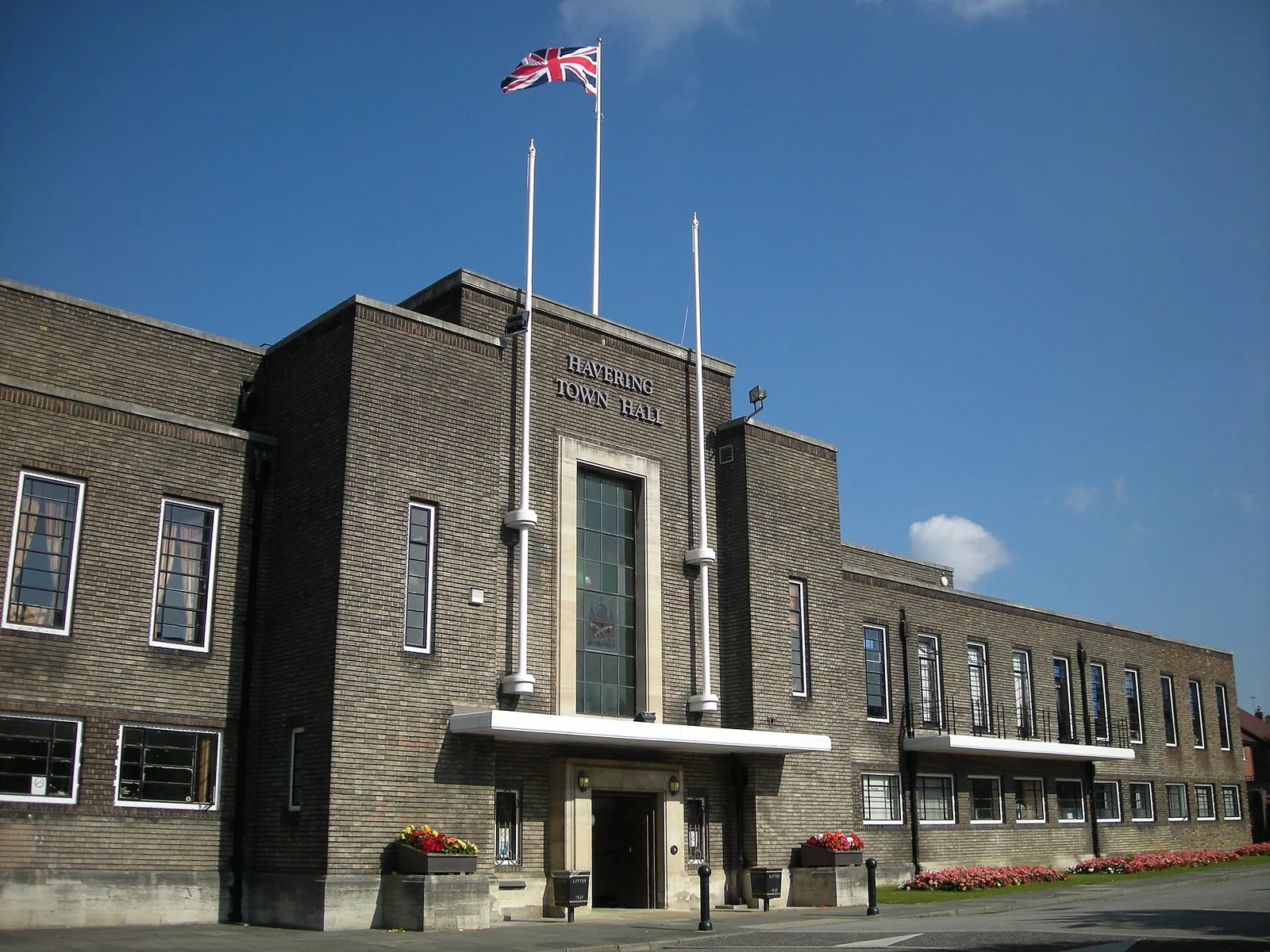
A net gain assessment in Romford Town Centre should be read alongside any appraisal of Market Place, Havering Town Hall and the River Rom. Hornchurch, Rainham and Upminster are areas covered on these pages. Policy 30 also protects Sites of Special Scientific Interest, local nature reserves and SINCs in the wider borough.
The London Borough of Havering assesses biodiversity net gain under Policy 30 of the Havering Local Plan 2016–2031, adopted on 17 November 2021, together with the Environment Act 2021 and Policy G6 of the London Plan, published on 2 March 2021. Policy 30 does not set a local percentage above 10 per cent, so the statutory minimum applies except on a justified site allocation. Confirm the current local validation requirements with the council before submitting.
Local plan: Havering Local Plan 2016–2031 (The Havering Local Plan 2016–2031 was adopted on 17 November 2021 and remains the adopted local plan. A review is identified in the 2025–27 Local Development Scheme but is not treated as adopted policy. The London Plan, published on 2 March 2021, also forms part of the development plan. There is no 2027 successor council for this borough.)
27: Landscaping
Policy 27 of the Havering Local Plan 2016–2031, adopted on 17 November 2021, requires development to retain and enhance existing landscape features, to protect them during construction, and to maximise opportunities for greening through the planting of trees. Supporting text explains that where existing trees are present, particularly trees subject to a TPO, a site survey and arboricultural method statement will be needed, with guidance in BS5837.
30: Biodiversity and geodiversity
Policy 30 requires developers to demonstrate that impacts on protected sites and species have been fully assessed where development has the potential to affect them, and to provide mitigation or compensation where necessary. It does not set a biodiversity net gain percentage above the national minimum.
32: Flood management
Policy 32 requires the sequential test and, if necessary, the exception test, and uses the Strategic Flood Risk Assessment as the starting point for local flood-risk guidance. In addition to national requirements, a site-specific flood risk assessment is required on sites where drainage problems have been identified, in the Washlands Flood Storage Area, and on sites deemed necessary by the Council as Lead Local Flood Authority, including Havering Critical Drainage Areas. Development should reduce surface water runoff by providing SuDS and should apply the London Plan drainage hierarchy, achieving greenfield runoff rates where feasible.
General guidance for biodiversity net gain (bng), not formal advice for your site.
The London Borough of Havering. The London Plan also forms part of the development plan. The borough is the Lead Local Flood Authority. There is no 2027 successor council for this borough.
No. Policy 30 does not set a local percentage above the national minimum, so qualifying applications are assessed against the statutory 10 per cent minimum except on a justified site allocation.
Yes. The London Plan, published on 2 March 2021, forms part of the development plan. Policy G6 requires development to manage impacts on biodiversity and to aim for a net gain.
No other published town guides for this survey in the council area yet.