Featured partner
Recommended for Streatham

ROAVR Group
Tree, ecology, flood risk and topographical surveys for planning applications.
4.9 Google rating
Get a quote
Local experts.
Featured partner
Recommended for Streatham
Tree, ecology, flood risk and topographical surveys for planning applications.
4.9 Google rating
Local experts.
Environmental and ecology consultancy with a London office at Holyrood Street, near…
London environmental consultancy based at Marshalsea Road, Southwark, formerly trading…
Independent ecology consultancy with its head office in Leatherhead, Surrey.
Environmental consultancy founded in 2004, with its head office on the Surrey Research…
Biodiversity net gain in Streatham is judged against the habitats around Streatham High Road and Streatham Hill Conservation Area and Streatham Common Conservation Area, not against a generic borough-wide picture. After the National Planning Policy Framework published on 17 August 2026, qualifying applications are assessed against the statutory 10 per cent minimum except on a justified site allocation. London Borough of Lambeth is the local planning authority, and the London Plan, published on 2 March 2021, also forms part of the development plan. A metric assessment should reflect the actual site and the adjoining habitats in Streatham, including any designated open space or watercourse. Confirm the current validation requirements with the council before submitting.
Local planning authority: London Borough of Lambeth
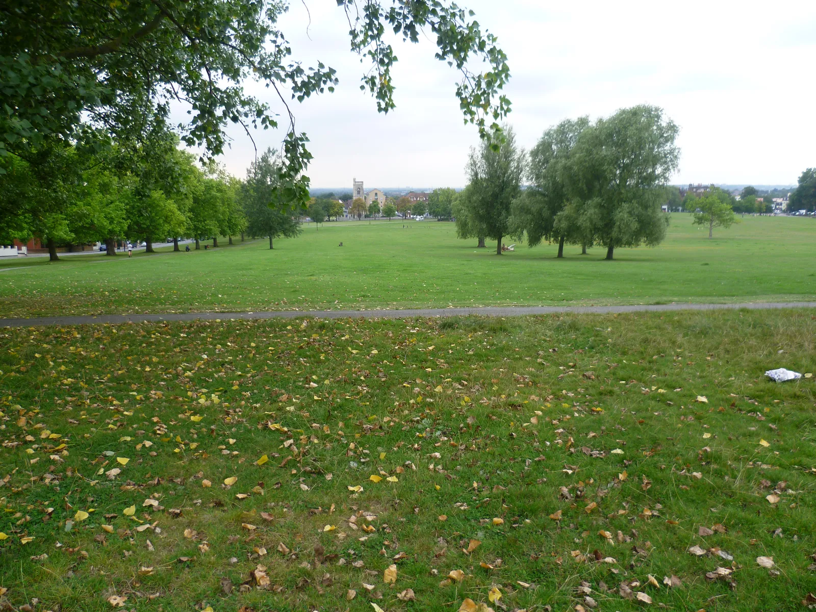
Streatham is the long High Road major centre in the south of the borough, covered by Streatham High Road and Streatham Hill Conservation Area, with Streatham Common Conservation Area and The Rookery at the southern end. That common and High Road setting is not Brixton Conservation Area, Brockwell Park or Rush Common. A net gain metric for a site in Streatham should reflect the habitats around Streatham High Road and Streatham Hill Conservation Area and Streatham Common Conservation Area.
In Streatham, including around Streatham High Road and Streatham Hill Conservation Area and Streatham Common Conservation Area, the London Borough of Lambeth assesses biodiversity net gain under Policy EN1 of the Lambeth Local Plan, adopted on 22 September 2021, together with the Environment Act 2021 and Policy G6 of the London Plan, published on 2 March 2021. Policy EN1 does not set a local percentage above 10 per cent, so the statutory minimum applies except on a justified site allocation. The Local Information Requirements 2024 require a biodiversity net gain plan for applications that are not exempt, based on the statutory metric. Confirm the current local validation requirements with the council before submitting. Confirm the current validation requirements with the council before submitting.
Local plan: Lambeth Local Plan 2020–2035 (adopted 22 September 2021) and The London Plan 2021 (published 2 March 2021) (The Lambeth Local Plan 2020–2035 was adopted on 22 September 2021 and remains the adopted borough development plan as of 13 November 2026, together with the London Plan 2021, published on 2 March 2021. The draft London Plan 2026 is in consultation and is not adopted. There is no 2027 successor council. The London Borough of Lambeth is the local planning authority and the Lead Local Flood Authority.)
EN1: Open space, green infrastructure and biodiversity
Protects open space, green infrastructure and the nature conservation or biodiversity value of designated sites, including Local Nature Reserves and Sites of Importance for Nature Conservation. In accordance with London Plan Policy G6, development should protect, enhance, create or manage biodiversity in line with the borough's Biodiversity Action Plan.
EN5: Flood risk
Applies a sequential, risk-based approach to the location of development and requires a flood risk assessment for major development in Flood Zone 1, for all development in Flood Zones 2, 3a and 3b, or where the site may be subject to other sources of flooding. Assessments must consider all sources, including tidal, fluvial, surface water, groundwater, sewer and reservoir flooding, and take account of climate change.
EN6: Sustainable drainage systems and water management
Requires sustainable drainage so that development does not increase flood risk and, where possible, reduces it, delivering water quality, amenity and biodiversity benefits in line with the drainage hierarchy.
Q10: Trees
Requires new development to take particular account of existing trees on the site and on adjoining land, and will not permit the loss of, or a threat to, trees of significant amenity, historic or ecological value, including veteran trees. Layouts should be informed by arboricultural survey and tree constraints information, with adequate replacement planting, using tools such as i-tree or CAVAT, where removal is imperative.
General guidance for biodiversity net gain (bng), not formal advice for your site.
London Borough of Lambeth. The London Plan also forms part of the development plan. The borough is the Lead Local Flood Authority. There is no 2027 successor council for this borough.
When a planning application in Streatham could affect trees, habitats, heritage, flood risk or existing buildings around Streatham High Road and Streatham Hill Conservation Area and Streatham Common Conservation Area. Confirm the current validation requirements with the council.
Yes. The London Plan, published on 2 March 2021, forms part of the development plan in Streatham alongside the London Borough of Lambeth local plan.