Featured partner
Recommended for Bexleyheath

ROAVR Group
Tree, ecology, flood risk and topographical surveys for planning applications.
4.9 Google rating
Get a quote
Local experts.
Featured partner
Recommended for Bexleyheath
Tree, ecology, flood risk and topographical surveys for planning applications.
4.9 Google rating
Local experts.
Civil and structural engineering practice with a London office in Lambeth.
Transport and civil engineering consultancy with a Surrey office in Godalming and a…
Transport planning and infrastructure consultancy with its main office on North Street…
Civil and structural engineering consultancy whose London office is in Sutton town centre.
Surface water flood risk in Bexleyheath Town Centre is a frequent reason for a flood risk assessment in Bexleyheath. The River Thames tidal floodplain lies toward Erith, Belvedere and Thamesmead, and the River Cray is a fluvial risk toward Crayford and Bexley village; neither runs through The Broadway. The local planning authority, and the Lead Local Flood Authority, is the London Borough of Bexley. Policy DP32 of the Bexley Local Plan, adopted on 26 April 2023, requires a site-specific flood risk assessment for all proposals in Flood Zones 2 and 3 and for all sites of 0.25 hectares or larger, regardless of flood zone. Policy SI12 of the London Plan, published on 2 March 2021, also forms part of the development plan.
Local planning authority: London Borough of Bexley
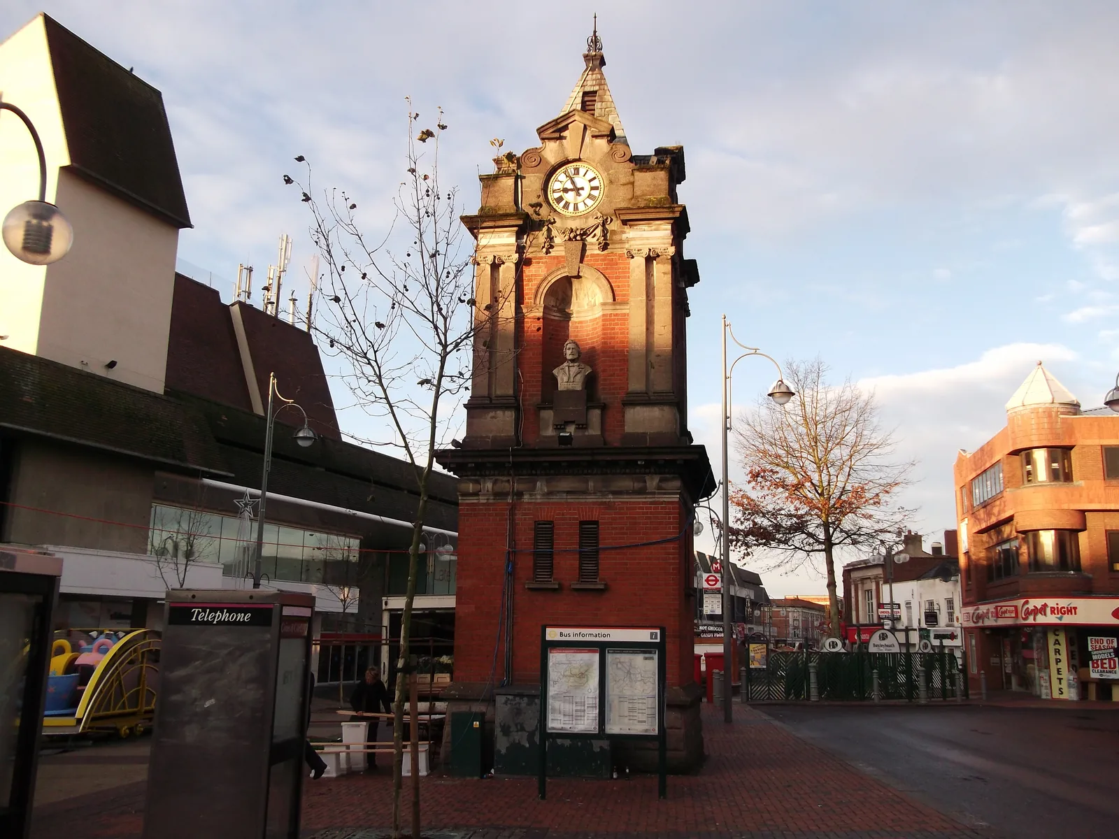
In Bexleyheath Town Centre and along The Broadway the more typical concern is surface water or sewer flooding, including around Danson Park. Policy DP32 also requires assessments to apply a sequential approach to all sources of flooding, not only tidal and fluvial. Sites in the north of the borough, toward the River Thames, raise different issues and are areas covered on these pages.
The London Borough of Bexley assesses flood risk and drainage under Policies DP32 and DP33 of the Bexley Local Plan, adopted on 26 April 2023, together with Policies SI12 and SI13 of the London Plan, published on 2 March 2021. The Planning Application Requirements reviewed on 17 October 2018 still ask for a site-specific flood risk assessment for proposals of 1 hectare or more in Flood Zone 1 and for development in Flood Zones 2 and 3; Policy DP32 is stricter for sites of 0.25 hectares or larger. Confirm the current local validation requirements with the council before submitting.
Local plan: Bexley Local Plan (The Bexley Local Plan was adopted on 26 April 2023 and remains the adopted local plan. The London Plan, published on 2 March 2021, also forms part of the development plan. There is no 2027 successor council for this borough.)
DP21: Greening of development sites
Policy DP21 of the Bexley Local Plan, adopted on 26 April 2023, includes a presumption in favour of the retention and enhancement of existing trees, woodland and hedgerow cover, and resists development that would adversely affect important trees.
SP9: Protecting and enhancing biodiversity and geological assets
Policy SP9 requires the Council to protect and enhance biodiversity and geodiversity, to resist significant adverse impacts on protected or priority species, and to seek measurable net gains for biodiversity. It does not set a percentage above the national minimum.
DP20: Biodiversity and geodiversity in developments
Policy DP20 requires development to follow the mitigation hierarchy and to result in a measurable long-term net gain for biodiversity, without setting a percentage above the statutory minimum.
DP32: Flood risk management
Policy DP32 requires a site-specific flood risk assessment for all proposals in Flood Zones 2 and 3 and for all sites of 0.25 hectares or larger, regardless of flood zone, and applies a sequential approach to all sources of flooding.
DP33: Sustainable drainage systems
Policy DP33 requires all development to manage surface water through sustainable drainage systems.
General guidance for flood risk and drainage assessment, not formal advice for your site.
The London Borough of Bexley. It is also the local planning authority. The London Plan forms part of the development plan. There is no 2027 successor council for this borough.
No. The Local Plan locates tidal flood risk along the River Thames at Erith, Belvedere and Thamesmead, and fluvial risk along the River Cray toward Crayford and Bexley village. Bexleyheath Town Centre is inland; surface water flood risk is the more typical local concern, including around Danson Park and The Broadway.
Yes. The London Plan, published on 2 March 2021, forms part of the development plan. Policies SI12 and SI13 deal with flood risk and sustainable drainage alongside Policies DP32 and DP33.
No other published town guides for this survey in the council area yet.