Featured partner
Recommended for Epping

ROAVR Group
Tree, ecology, flood risk and topographical surveys for planning applications.
4.9 Google rating
Get a quote
Local experts.
Featured partner
Recommended for Epping
Tree, ecology, flood risk and topographical surveys for planning applications.
4.9 Google rating
Local experts.
Civil and structural engineering practice with a London office in Lambeth.
Transport planning and infrastructure consultancy with its main office on North Street…
Flood risk and drainage consultancy based in Crawley, working across England and Wales.
Flood risk consultancy based at Pyle Hill near Woking, on the northern edge of Guildford…
Flood risk in Epping is mainly assessed for surface water around the Epping Conservation Area and the Bell Common Conservation Area, rather than a single main river through the High Street. Epping Forest District Council applies Policy DM15 and Policy DM16 of the Local Plan 2011-2033, adopted on 6 March 2023. Essex County Council is the Lead Local Flood Authority. Surface-water flow paths on the High Street and around Bell Common still need to be understood, and SuDS should be designed to suit the historic core. Confirm the current validation requirements with the council before submitting.
Local planning authority: Epping Forest District Council
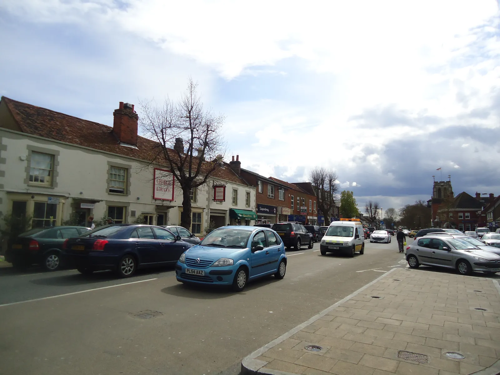
Epping is an Epping Forest District Council market town just outside the M25, distinct from Loughton on The Hills and from Waltham Abbey on the River Lea. The Epping Conservation Area and the Bell Common Conservation Area are the official local designations. Essex County Council is the Lead Local Flood Authority. There is no confirmed 2027 successor council.
In Epping, including around Epping Conservation Area and Bell Common Conservation Area, the same adopted local plan policies apply. Epping Forest District Council assesses flood risk under Policy DM15 of the Local Plan 2011-2033, adopted on 6 March 2023, and surface water under Policy DM16. Essex County Council is the Lead Local Flood Authority. Confirm the current validation requirements with the council before submitting.
Local plan: Epping Forest District Local Plan 2011-2033 (Adopted on 6 March 2023 and still in force as of 13 November 2026.)
DM16: Sustainable Drainage Systems
Requires all proposals for new development to manage surface water as close to its source as possible, using the most appropriate SuDS solution and the council's preferred drainage hierarchy, beginning with storing rainwater for later use and then infiltration techniques where site conditions allow.
DM15: Managing and Reducing Flood Risk
Requires all proposals to demonstrate that they avoid and reduce the risk of all forms of flooding to future occupiers and do not increase flood risk elsewhere. Proposals on land wholly or partly in Flood Zones 2 or 3a, or affected by other sources of flooding, must show that the Sequential Test and, if necessary, the Exception Test have been satisfied, except where the proposal accords with a site allocation in the Plan.
DM1: Habitat Protection and Improving Biodiversity
Requires all development to seek to deliver net biodiversity gain in addition to protecting existing habitats and species, to avoid harm to habitats, species and corridors, and not to permit significant impacts on internationally or nationally designated sites. The loss of irreplaceable habitats such as veteran trees and ancient woodland will not be permitted unless the need and benefits clearly outweigh the loss. Monitoring of mitigation, compensation and offsetting may be secured by condition.
General guidance for flood risk and drainage assessment, not formal advice for your site.
Epping Forest District Council is the local planning authority. Essex County Council is the Lead Local Flood Authority. There is no confirmed 2027 successor council.
Policy DM15 applies where a site is at risk from surface water or other sources, including in the Epping Conservation Area and the Bell Common Conservation Area, or could increase risk elsewhere. Confirm the current validation requirements with the council.
Surface water is the usual issue around the Epping Conservation Area and the Bell Common Conservation Area, because there is no main river through the High Street. Policy DM15 still requires all sources to be considered, and Policy DM16 requires SuDS as close to the source as possible.