Featured partner
Recommended for Epsom

ROAVR Group
Tree, ecology, flood risk and topographical surveys for planning applications.
4.9 Google rating
Get a quote
Local experts.
Featured partner
Recommended for Epsom
Tree, ecology, flood risk and topographical surveys for planning applications.
4.9 Google rating
Local experts.
Flood risk consultancy based at Pyle Hill near Woking, on the northern edge of Guildford…
Flood risk and drainage consultancy based in Crawley, working across England and Wales.
Transport planning and infrastructure consultancy with its main office on North Street…
Transport planning and infrastructure consultancy based at Lion House, Oriental Road in…
Winter 2013/14 flooding in Epsom was predominantly surface water running north from Epsom Downs, including along Ashley Road, Church Street and Worple Road, not fluvial flooding from the River Hogsmill. A flood risk assessment and drainage strategy should show whether a proposal will be safe, avoid increasing flood risk elsewhere, and manage that surface water, usually with sustainable drainage. The local planning authority is Epsom and Ewell Borough Council, and Surrey County Council is the Lead Local Flood Authority. Policy DM19 of the Development Management Policies Document, dated September 2015, applies a sequential approach and requires a site-specific assessment in Flood Zones 2 and 3, on sites of 1 hectare or more in Zone 1, and on sites at medium or high risk from other sources identified in the Strategic Flood Risk Assessment.
Local planning authority: Epsom and Ewell Borough Council
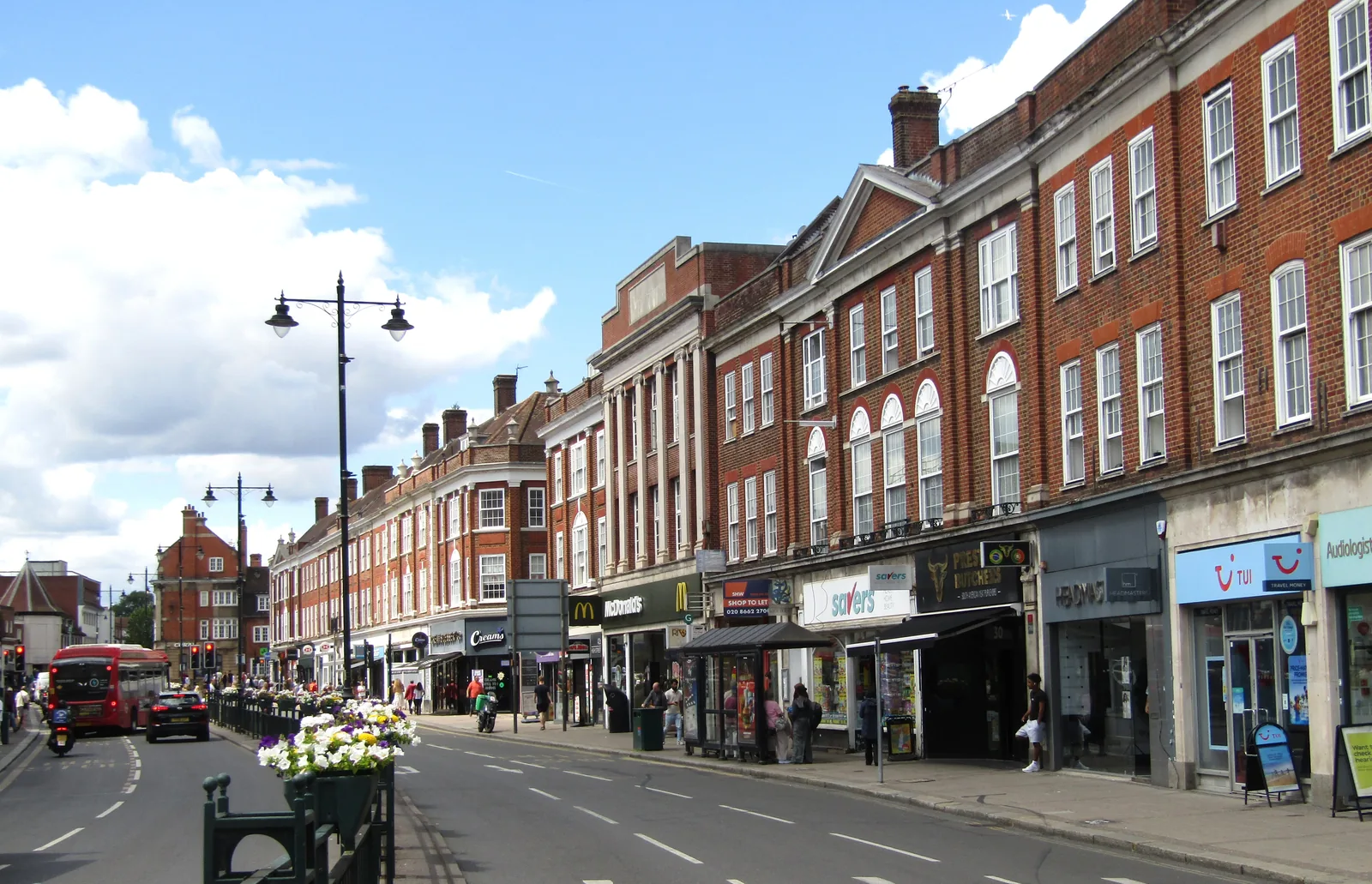
Surrey County Council's Section 19 report of 28 October 2015 records about 10 incidents of internal property flooding in Epsom and Ewell in winter 2013/14, caused predominantly by surface water run-off, with high groundwater also contributing. The investigated sites, six in and around Epsom and one in Stoneleigh, were all more than 1 km from an open watercourse and were not at risk of river flooding, even though most of the borough is in the upper catchment of the River Hogsmill. Surface water flow routes run generally north from Epsom Downs towards the town centre; Ashley Road and Church Street follow those routes, and Worple Road bisects them at the bottom of the hill. After the floods the county council cleansed and jetted gullies on Ashley Road, resurfaced Church Street under Project Horizon, and added a gully at the access to Pitt Place. Ashley Road north of Worple Road also has potential for groundwater flooding at the surface. The sub-area is not in an Environment Agency flood warning or flood alert area.
Epsom and Ewell Borough Council assesses flood risk under Policy DM19 of the Development Management Policies Document, dated September 2015, together with national policy and the council's Strategic Flood Risk Assessment. Policy DM19 requires a sequential approach, a site-specific flood risk assessment in Flood Zones 2 and 3, on sites of 1 hectare or greater in Zone 1, and on sites at medium or high risk from other sources identified in the SFRA, and SuDS that reduce the volume and rate of surface water run-off. Surrey County Council is the Lead Local Flood Authority. Confirm current Environment Agency maps, the SFRA and local validation requirements with the council before submitting.
Local plan: Epsom and Ewell Core Strategy (2007) and Development Management Policies Document (2015) (The Core Strategy was adopted on 24 July 2007. The Development Management Policies Document is dated September 2015 and remains, with the Core Strategy, the adopted development plan. A new Local Plan 2022-2040 was submitted for examination on 10 March 2025 and had not been adopted as of 13 November 2026.)
DM19: Development and Flood Risk
Takes a sequential approach when determining planning applications. Development in Flood Zones 2 and 3, on sites of 1 hectare or greater in Zone 1, and on sites at medium or high risk from other sources as identified by the Strategic Flood Risk Assessment, will not be supported unless the sequential and exception tests are passed where relevant, a site-specific flood risk assessment demonstrates that risk is reduced or at least risk-neutral, and flood-resilient design and mitigation can bring residual risk to acceptable levels. Development is expected to reduce the volume and rate of surface water run-off through appropriately designed SuDS.
DM4: Biodiversity and New development
Restricts development affecting nature conservation sites and habitats of international, national or local importance except in defined circumstances. Development affecting sites or buildings that support legally protected species is only permitted if appropriate mitigation and compensatory measures are agreed, with no net loss of biodiversity. Whether or not statutory protection applies, every opportunity should be taken to secure a net benefit to the borough's biodiversity, including an assessment of existing nature conservation assets at application stage. The policy does not set a percentage net gain.
General guidance for flood risk and drainage assessment, not formal advice for your site.
Epsom and Ewell Borough Council is the local planning authority. Surrey County Council is the Lead Local Flood Authority. From 1 April 2027 planning powers pass to the new East Surrey unitary council under local government reorganisation.
Policy DM19 requires a site-specific flood risk assessment for development in Flood Zones 2 and 3, on sites of 1 hectare or greater in Zone 1, and on sites at medium or high risk from other sources identified in the council's Strategic Flood Risk Assessment. In Epsom, surface water and groundwater can be as important as fluvial maps. Confirm the current SFRA and validation requirements with the council.
The Section 19 report says most of the borough is in the upper Hogsmill catchment, but the investigated sites in Epsom and Stoneleigh were all more than 1 km from an open watercourse and were not at risk of river flooding. The flooding recorded was predominantly surface water, with groundwater contributing at some sites, including Ashley Road north of Worple Road.
No other published town guides for this survey in the council area yet.