Featured partner
Recommended for Islington

ROAVR Group
Tree, ecology, flood risk and topographical surveys for planning applications.
4.9 Google rating
Get a quote
Local experts.
Featured partner
Recommended for Islington
Tree, ecology, flood risk and topographical surveys for planning applications.
4.9 Google rating
Local experts.
Transport planning and infrastructure consultancy with its main office on North Street…
Civil and structural engineering practice with a London office in Lambeth.
Transport and civil engineering consultancy with a Surrey office in Godalming and a…
Civil and structural engineering consultancy whose London office is in Sutton town centre.
The London Borough of Islington lies entirely in Flood Zone 1, so fluvial flood risk along Upper Street, around Islington Town Hall and beside the Regent's Canal is low. Surface water flood risk is the main issue, together with groundwater, sewers and critical drainage areas that cover much of the borough. Policy S8 requires a site-specific flood risk assessment for sites of 1 hectare or more, for larger floorspace increases in a critical drainage area, for more vulnerable changes of use, and for specified surface-water risk cases. The assessment must focus particularly on surface water and, where relevant, groundwater. Policy S9 then expects integrated water management and sustainable drainage, which should be designed with the landscape and the canal corridor.
Local planning authority: London Borough of Islington
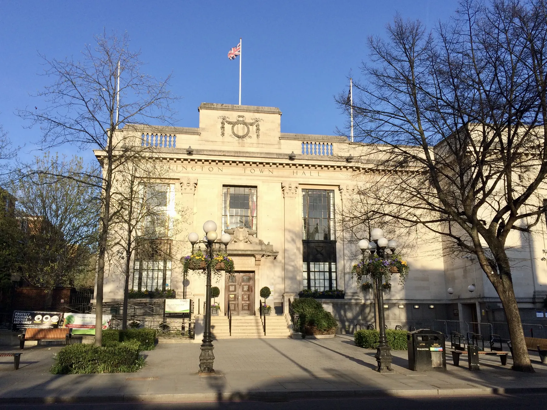
Upper Street, Islington Town Hall and the Regent's Canal sit in Flood Zone 1, but surface water flood risk, critical drainage areas and, in places, groundwater can still trigger a flood risk assessment and a sustainable drainage scheme.
The London Borough of Islington assesses flood risk and drainage under Policies S8 and S9 of the Islington Local Plan, adopted on 28 September 2023, read with London Plan Policies SI12 and SI13. The borough is entirely in Flood Zone 1. Confirm the current local validation requirements with the council before submitting.
Local plan: Islington Local Plan: Strategic and Development Management Policies (The Islington Local Plan was adopted on 28 September 2023 and is the adopted local plan. Previous Core Strategy and Development Management policies are withdrawn. The London Plan, published on 2 March 2021, also forms part of the development plan. There is no 2027 successor council for this borough.)
G4: Biodiversity, landscape design and trees
Policy G4 of the Islington Local Plan, adopted on 28 September 2023, requires all developments to protect, enhance and contribute to the landscape, biodiversity value and growing conditions of the site and surrounding area, including connectivity between habitats. Development should protect Sites of Importance for Nature Conservation. Proposals involving new buildings, redevelopment or large extensions must submit a Landscape Design Strategy which maximises green infrastructure, biodiversity and sustainable drainage, and must aim to secure a net gain in biodiversity value with a clear priority for on-site measures. The policy does not set a percentage above the statutory 10 per cent minimum. All developments, including refurbishment, must carry out ecological surveys and assessments wherever the proposal is likely to affect protected species, habitats or priority species, or is within or close to a SINC. Developments must minimise impacts on existing trees, hedges and other significant vegetation, protect trees during development, and follow a replacement hierarchy where loss is demonstrably unavoidable. Permission or consent for the removal of protected trees will normally be refused.
S8: Flood Risk Management
Policy S8 requires a site-specific flood risk assessment for proposals on sites of 1 hectare or greater; new development proposing more than 100 square metres increase in floorspace in a critical drainage area; changes of use to a more vulnerable class; Highly Vulnerable development in an area of high or medium surface water flood risk; and More Vulnerable development in an area of high surface water flood risk. The assessment must consider all sources of flooding, with particular focus on surface water, and must investigate groundwater flooding where that risk is identified. Islington is located entirely in Flood Zone 1, so fluvial flood risk is low, but surface water, groundwater, sewers and artificial sources remain relevant. Policy S9 requires integrated water management and sustainable drainage.
S9: Integrated Water Management and Sustainable Drainage
Policy S9 requires development to incorporate integrated water management and sustainable drainage, following the drainage hierarchy and contributing to a reduction in flood risk where required. It should be read with Policy S8, which sets when a site-specific flood risk assessment is needed and how residual risk, including in critical drainage areas and areas of high surface water flood risk, is to be managed.
General guidance for flood risk and drainage assessment, not formal advice for your site.
The London Borough of Islington. The London Plan also forms part of the development plan. The borough is the Lead Local Flood Authority. There is no 2027 successor council for this borough.
The London Borough of Islington. It is also the local planning authority. The London Plan forms part of the development plan. There is no 2027 successor council for this borough.
Yes. The London Plan, published on 2 March 2021, forms part of the development plan. Policies SI12 and SI13 are the London Plan flood risk and sustainable drainage policies.