Featured partner
Recommended for Wembley

ROAVR Group
Tree, ecology, flood risk and topographical surveys for planning applications.
4.9 Google rating
Get a quote
Local experts.
Featured partner
Recommended for Wembley
Tree, ecology, flood risk and topographical surveys for planning applications.
4.9 Google rating
Local experts.
Transport planning and infrastructure consultancy with its main office on North Street…
Transport and civil engineering consultancy with a Surrey office in Godalming and a…
Civil and structural engineering practice with a London office in Lambeth.
Civil and structural engineering consultancy whose London office is in Sutton town centre.
The River Brent through Wembley Town Centre, and the floodplain associated with Brent Reservoir, are the main fluvial setting for a flood risk assessment in Wembley. For applications the local planning authority is the London Borough of Brent, which is also the Lead Local Flood Authority. Policy BSUI3 of the Local Plan 2019-2041, adopted on 24 February 2022, requires a flood risk assessment to show resistance and resilience to all relevant sources including surface water, to pass the sequential and exception tests where required, and not to create new basement dwellings in areas of high flood risk.
Local planning authority: London Borough of Brent
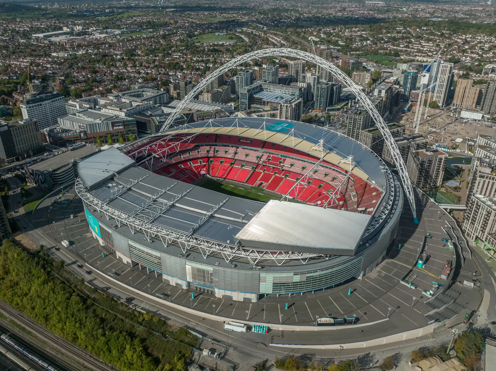
Tokyngton Recreation Ground sits on the River Brent south of the centre, and Wembley High Road includes land where surface-water as well as fluvial risk may need to be considered. Policy BSUI3 will refuse proposals that fail to make appropriate provision or that would increase the risk or consequences of flooding.
The London Borough of Brent assesses flood risk under Policy BSUI3 of the Local Plan 2019-2041, adopted on 24 February 2022, together with London Plan Policy SI 12, published on 2 March 2021. The borough is the Lead Local Flood Authority. Confirm current maps, the SFRA and local validation requirements with the council before submitting.
Local plan: Brent Local Plan 2019-2041 (adopted 24 February 2022) and The London Plan 2021 (published 2 March 2021) (The Brent Local Plan 2019-2041 was adopted by Full Council on 24 February 2022 and remains the adopted borough development plan as of 13 November 2026, together with the London Plan 2021, published on 2 March 2021. The draft London Plan 2026 is in consultation and is not adopted. There is no 2027 successor council. The London Borough of Brent is the local planning authority and the Lead Local Flood Authority.)
G7: Trees and woodlands
Requires existing trees of value to be retained wherever possible. Where trees are removed, there should be adequate replacement based on the value of the benefits lost, determined by a method such as i-Tree or CAVAT. Additional planting, particularly of large-canopied species, should generally be included.
SI 12: Flood risk management
Requires development proposals to minimise and mitigate flood risk and address residual risk, including, where possible, making space for water and setting development back from watercourses. In London the boroughs are the Lead Local Flood Authorities.
BGI1: Green and Blue Infrastructure in Brent
Requires development to achieve a net gain in biodiversity and avoid any detrimental impact on the geodiversity of an area, and to place emphasis on solutions that support biodiversity when meeting the urban greening factor. It also seeks additional public open space, including in Wembley Central ward, and requires development on or near the Capital Ring to protect its character and, where appropriate, contribute to its improvement. The policy does not set a biodiversity net gain percentage.
BGI2: Trees and Woodlands
Requires development with existing trees on or adjoining the site that could be affected to submit a BS5837 or equivalent tree survey. Major development should make provision for the planting and retention of trees on site; where retention is agreed not to be possible, new trees should achieve equivalent canopy cover or a financial contribution should be made for off-site planting of equivalent canopy cover. Minor development that results in the loss of trees should provide appropriate replacements on site. Works to trees should accord with BS3998 or equivalent, and retained or proposed trees should accord with BS5837 recommendations.
BSUI3: Managing Flood Risk
Requires proposals that need a flood risk assessment to demonstrate that the development will be resistant and resilient to all relevant sources of flooding including surface water, to pass the sequential and exception tests as required by national policy, to minimise flood risk on site and not increase it elsewhere, and not to create new basement dwellings in areas of high flood risk. Proposals that fail to make appropriate provision for flood risk mitigation, or which would increase the risk or consequences of flooding, will be refused. Opportunities will be sought from redevelopment in functional floodplain (Flood Zone 3b) to restore natural function and storage capacity.
G6: Biodiversity and access to nature
London Plan Policy G6 requires development proposals to manage impacts on biodiversity and aim to secure net biodiversity gain. Sites of Importance for Nature Conservation should be protected. The policy does not set a percentage.
General guidance for flood risk and drainage assessment, not formal advice for your site.
London Borough of Brent. The London Plan also forms part of the development plan. The borough is the Lead Local Flood Authority. There is no 2027 successor council for this borough.
Policy BSUI3 requires a flood risk assessment to show resistance and resilience to all relevant sources including surface water, and applies the sequential and exception tests as required by national policy. National policy also requires a site-specific assessment in Flood Zones 2 and 3 and for major development of 1 hectare or more in Flood Zone 1. The River Brent and the floodplain associated with Brent Reservoir are the main fluvial setting. Confirm the current SFRA and validation requirements with the council.
The London Borough of Brent is the Lead Local Flood Authority.
No other published town guides for this survey in the council area yet.