Featured partner
Recommended for Sutton

ROAVR Group
Tree, ecology, flood risk and topographical surveys for planning applications.
4.9 Google rating
Get a quote
Local experts.
Featured partner
Recommended for Sutton
Tree, ecology, flood risk and topographical surveys for planning applications.
4.9 Google rating
Local experts.
Independent ecology consultancy with its head office in Leatherhead, Surrey.
Environmental consultancy founded in 2004, with its head office on the Surrey Research…
Multi-disciplinary practice founded in 1985, offering arboriculture, ecology, landscape…
Independent ecological consultancy with a Surrey office near Farnham, plus offices in…
The River Wandle and Wandle Valley can support bats, reptiles, amphibians and nesting birds, and Banstead Downs and the Green Corridors add further habitat edges, so a protected species survey in Sutton often has to look beyond the application site. The local planning authority is the London Borough of Sutton. Policy 26 of the Local Plan, adopted on 26 February 2018, and Policy G6 of the London Plan, published on 2 March 2021, which also forms part of the development plan, protect SINCs, Green Corridors and biodiversity. The survey follows a preliminary appraisal that has flagged a likely risk.
Local planning authority: London Borough of Sutton
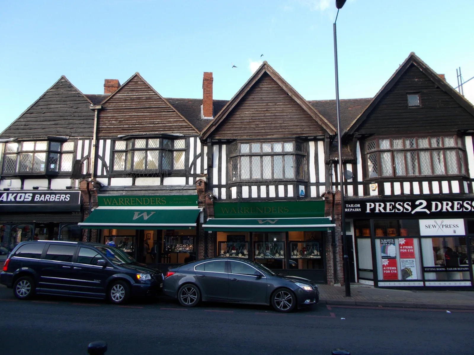
The River Wandle, Wandle Valley, Green Corridors, gardens in Sutton Town Centre, and, at the south of the borough, nearby Banstead Downs, are the main ecological setting. A PEA should identify which surveys are actually needed.
The London Borough of Sutton assesses effects on protected and Priority species under Policy 26 of the Local Plan, adopted on 26 February 2018, and Policy G6 of the London Plan, published on 2 March 2021. Confirm the current local validation requirements with the council before submitting.
Local plan: Sutton Local Plan 2016 to 2031 (adopted 26 February 2018) and The London Plan 2021 (published 2 March 2021) (The Sutton Local Plan 2016 to 2031 was adopted on 26 February 2018 and remains the adopted borough development plan as of 13 November 2026. The London Plan 2021, published on 2 March 2021, also forms part of the development plan. The council's Biodiversity Net Gain Guidance Note of 16 April 2025 states that the mandated 10 per cent target will be applied to all developments captured by the mandate until any later formal change. A new Local Plan was being prepared for submission in 2026 and is not adopted. The draft London Plan 2026 is in consultation and is not adopted. There is no 2027 successor council. The London Borough of Sutton is the local planning authority and the Lead Local Flood Authority.)
28: Character and Design
Requires new development to respond to natural features and retain trees, hedges and other landscape features of amenity value where possible. Where trees are present, a landscaping scheme should provide for the retention of existing trees that are important in the local landscape, including younger trees with future value, and allow sufficient space above and below ground for trees to grow to maturity. Where trees are felled before permission is sought, replacement planting may be required. Works near trees should comply with the latest arboricultural standards.
26: Biodiversity
The council will protect and enhance SINCs, Green Corridors and biodiversity generally. Major development should result in no net loss of biodiversity as assessed against the DEFRA metric or another metric later adopted formally, and should enhance biodiversity where possible. Banstead Downs SSSI lies adjacent to the borough. The policy does not set a percentage above the statutory 10 per cent duty.
G6: Biodiversity and access to nature
London Plan Policy G6 requires development proposals to manage impacts on biodiversity and aim to secure net biodiversity gain. Sites of Importance for Nature Conservation should be protected.
G7: Trees and woodlands
Requires existing trees of value to be retained wherever possible, with adequate replacement if they are removed, using a method such as i-Tree or CAVAT.
32: Flood Risk and Sustainable Drainage
Requires a flood risk assessment in Flood Zones 2 and 3, for major development of more than 1 hectare in Flood Zone 1, and for any proposal in a critical drainage area, together with the sequential and exception tests where appropriate. Development should be set back 8 metres from main rivers and 5 metres from ordinary watercourses. Finished floor levels in Zones 2 and 3 should be at least 300 mm above the flood level for more or highly vulnerable uses. Sustainable drainage should follow the Mayor's drainage hierarchy, restrict runoff to greenfield rates, and contain the 1 in 30 year event without flooding. Major applications need a Drainage Assessment Form.
SI 12: Flood risk management
Requires development proposals to minimise and mitigate flood risk and address residual risk, including, where possible, making space for water and setting development back from watercourses. In London the boroughs are the Lead Local Flood Authorities.
General guidance for protected species survey, not formal advice for your site.
The London Borough of Sutton. The London Plan also forms part of the development plan. The borough is the Lead Local Flood Authority. There is no 2027 successor council for this borough.
Depending on the site: bats, reptiles, amphibians around the River Wandle and Wandle Valley, and nesting birds along Green Corridors and in Sutton Town Centre. A PEA should identify which surveys are actually needed.
Usually only where a proposal could affect that Site of Special Scientific Interest or species associated with it. Policy 26 flags it as a designation adjacent to the borough. Check current mapping and standing advice for a specific site.
No other published town guides for this survey in the council area yet.