Featured partner
Recommended for Barnet

ROAVR Group
Tree, ecology, flood risk and topographical surveys for planning applications.
4.9 Google rating
Get a quote
Local experts.
Featured partner
Recommended for Barnet
Tree, ecology, flood risk and topographical surveys for planning applications.
4.9 Google rating
Local experts.
Land and building surveying company with offices in Surrey (Dunsfold Park), London,…
Land survey practice based in Harrow, West London.
Land survey and site engineering practice based in Chesham, north-west of the M25.
Measured building and land surveyors trading from 111 Gosterwood Street in Deptford, in…
An accurate topographical survey of levels, trees, buildings and boundaries is the usual base plan for a BS 5837 tree survey and for drainage design in Barnet. In the Chipping Barnet Conservation Area, and around Barnet Church and Hadley Green, it shows how a proposal sits in the slope from the High Street ridge toward the Green Belt. The London Borough of Barnet expects trees of value to be plotted and protected, and it requires flood risk and surface water to be understood from the outset. Surface water flood risk assessments and SuDS schemes depend on reliable levels, overland flow routes and the position of existing drains and soft landscape.
Local planning authority: London Borough of Barnet
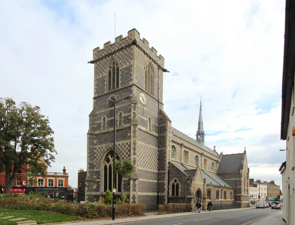
Sites in the Chipping Barnet Conservation Area, around Barnet Church and toward Hadley Green often fall away from the High Street. A topographical survey records that change in level, the trees that Policy CDH07 seeks to retain, and the flow paths relevant to surface water flood risk.
The London Borough of Barnet relies on accurate site information to apply Policy CDH07 on trees and landscaping and Policy ECC03 on flood risk and drainage in the Barnet Local Plan 2021–2036, adopted on 4 March 2025. Confirm the current local validation requirements with the council before submitting.
Local plan: Barnet Local Plan 2021–2036 (The Barnet Local Plan 2021–2036 was adopted on 4 March 2025 and is the adopted local plan. The London Plan, published on 2 March 2021, also forms part of the development plan. There is no 2027 successor council for this borough.)
CDH07: Amenity Space and Landscaping
Policy CDH07 of the Barnet Local Plan 2021–2036, adopted on 4 March 2025, requires development to provide adequate amenity space and, where hard or soft landscaping is included, to design it sympathetically to local character. Soft landscaping should provide biodiversity benefits such as habitat creation using native species, and an appropriate level of new and existing wildlife habitat including tree and shrub planting, in accordance with Policy ECC07. Existing trees of value should be retained wherever possible. Retained trees must have their stems, canopy and root systems safeguarded. Where trees are removed they should be replaced with trees of equal value and of suitable sizes and species. Where replacement on site to the value removed is not possible, a contribution to the council for any residual value may be made to provide trees in nearby streets and open spaces, secured by a planning obligation. Provision is also to be made for sustainable drainage in accordance with Policy ECC03.
ECC07: Biodiversity
Policy ECC07 requires the retention and enhancement, or the creation, of biodiversity in development proposals. It protects Sites of Special Scientific Interest, Sites of Importance for Nature Conservation, and priority habitats and species. Development is expected to make the fullest contribution to enhancing biodiversity and to protect existing site ecology, including Biodiversity Net Gain in accordance with national policy and legislation. The Environment Act 2021 requires at least 10 per cent biodiversity net gain. The policy does not set a percentage above that national minimum. Where significant harm cannot be avoided, it must be adequately mitigated or, as a last resort, compensated for; otherwise applications will be refused. Developers are also expected to take a holistic approach to biodiversity net gain, the urban greening factor and sustainable drainage.
ECC03: Water Management
Policy ECC03 requires development to be located in areas at lowest risk of flooding from any source, assessed through the sequential test at application stage, and to ensure flood risk is not increased elsewhere. A site-specific flood risk assessment is required for sites of 1 hectare or more in Flood Zone 1, for sites in Flood Zones 2 or 3, for relevant non-householder applications within specified climate-change flood extents, within an identified Critical Drainage Area, and where a site may be subject to another source of flooding and a more vulnerable use would be introduced. Surface water should be managed as close to its source as possible, aiming for greenfield run-off rates and following the London Plan drainage hierarchy, with management and maintenance plans for SuDS. Development beside a river corridor is expected to provide a buffer zone of at least 10 metres.
General guidance for topographical survey, not formal advice for your site.
The London Borough of Barnet. The London Plan also forms part of the development plan. The borough is the Lead Local Flood Authority. There is no 2027 successor council for this borough.
It supports the tree protection expected under Policy CDH07 and the flood risk and drainage work required by Policy ECC03, especially on sloping sites in the Chipping Barnet Conservation Area and toward Hadley Green.
Yes. The London Plan, published on 2 March 2021, forms part of the development plan. Policy G7 and Policies SI12 and SI13 are the London Plan policies most often read alongside a site survey.
No other published town guides for this survey in the council area yet.