Featured partner
Recommended for Bexleyheath

ROAVR Group
Tree, ecology, flood risk and topographical surveys for planning applications.
4.9 Google rating
Get a quote
Local experts.
Featured partner
Recommended for Bexleyheath
Tree, ecology, flood risk and topographical surveys for planning applications.
4.9 Google rating
Local experts.
Measured building and land surveyors trading from 111 Gosterwood Street in Deptford, in…
Land and measured-building survey practice with a London office in Crystal Palace.
Land and building surveying company with offices in Surrey (Dunsfold Park), London,…
Land survey and site engineering practice based in Chesham, north-west of the M25.
Levels around Bexleyheath Town Centre, The Broadway and Danson Park are a frequent reason for a topographical survey in Bexleyheath. An accurate survey of the site, neighbouring land and any nearby drainage path supports sustainable drainage design and tree protection. The local planning authority is the London Borough of Bexley. Policy DP32 of the Bexley Local Plan, adopted on 26 April 2023, relies on accurate site information, and the published Planning Application Requirements ask for a topographical survey of the site as part of flood risk work. Policy DP21 also expects trees to be assessed and retained. Policy SI13 of the London Plan, published on 2 March 2021, also forms part of the development plan.
Local planning authority: London Borough of Bexley
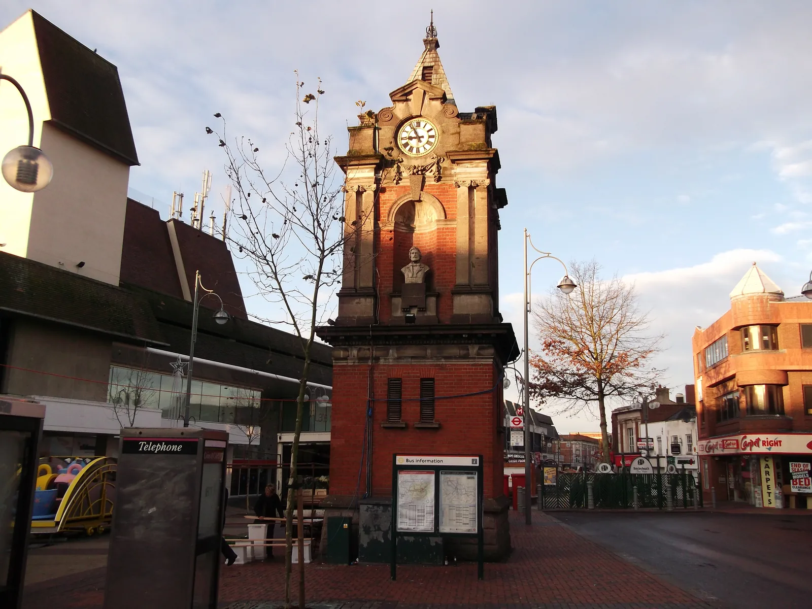
A topographical survey in Bexleyheath Town Centre should record the fall of the land toward Danson Park and along The Broadway, together with kerbs, gullies and any other drainage path relevant to surface water flood risk. The River Thames and the River Cray are only relevant where a site is actually close to those corridors.
The London Borough of Bexley uses topographical information to support flood, tree and design policies in the Bexley Local Plan, adopted on 26 April 2023, including Policies DP21, DP32 and DP33, together with the London Plan, published on 2 March 2021. Confirm the current local validation requirements with the council before submitting.
Local plan: Bexley Local Plan (The Bexley Local Plan was adopted on 26 April 2023 and remains the adopted local plan. The London Plan, published on 2 March 2021, also forms part of the development plan. There is no 2027 successor council for this borough.)
DP21: Greening of development sites
Policy DP21 of the Bexley Local Plan, adopted on 26 April 2023, includes a presumption in favour of the retention and enhancement of existing trees, woodland and hedgerow cover, and resists development that would adversely affect important trees.
SP9: Protecting and enhancing biodiversity and geological assets
Policy SP9 requires the Council to protect and enhance biodiversity and geodiversity, to resist significant adverse impacts on protected or priority species, and to seek measurable net gains for biodiversity. It does not set a percentage above the national minimum.
DP20: Biodiversity and geodiversity in developments
Policy DP20 requires development to follow the mitigation hierarchy and to result in a measurable long-term net gain for biodiversity, without setting a percentage above the statutory minimum.
DP32: Flood risk management
Policy DP32 requires a site-specific flood risk assessment for all proposals in Flood Zones 2 and 3 and for all sites of 0.25 hectares or larger, regardless of flood zone, and applies a sequential approach to all sources of flooding.
DP33: Sustainable drainage systems
Policy DP33 requires all development to manage surface water through sustainable drainage systems.
General guidance for topographical survey, not formal advice for your site.
The London Borough of Bexley. The London Plan also forms part of the development plan. The borough is the Lead Local Flood Authority. There is no 2027 successor council for this borough.
Accurate levels are needed to support a flood risk or drainage assessment under Policies DP32 and DP33, especially where surface water flood risk is a concern around The Broadway and Danson Park, and to plot root protection areas under Policy DP21.
Yes. The London Plan, published on 2 March 2021, forms part of the development plan. The London Plan forms part of the development plan alongside the Bexley Local Plan adopted on 26 April 2023.
No other published town guides for this survey in the council area yet.