Featured partner
Recommended for Woolwich

ROAVR Group
Tree, ecology, flood risk and topographical surveys for planning applications.
4.9 Google rating
Get a quote
Local experts.
Featured partner
Recommended for Woolwich
Tree, ecology, flood risk and topographical surveys for planning applications.
4.9 Google rating
Local experts.
Measured building and land surveyors trading from 111 Gosterwood Street in Deptford, in…
Land and measured-building survey practice with a London office in Crystal Palace.
Land and building surveying company with offices in Surrey (Dunsfold Park), London,…
Land survey and site engineering practice based in Chesham, north-west of the M25.
Levels around Woolwich Town Centre, the Royal Arsenal and the River Thames frontage are a frequent reason for a topographical survey in Woolwich. An accurate survey of the site, neighbouring land, flood defences and any nearby watercourse supports drainage design, residual flood assessment and tree protection. The local planning authority is the Royal Borough of Greenwich. Policy E2 of the Core Strategy, adopted on 30 July 2014, relies on a clear understanding of flood extents, levels and defences. Policy OS(f) also requires trees to be surveyed and protected. Policy SI13 of the London Plan, published on 2 March 2021, also forms part of the development plan.
Local planning authority: Royal Borough of Greenwich
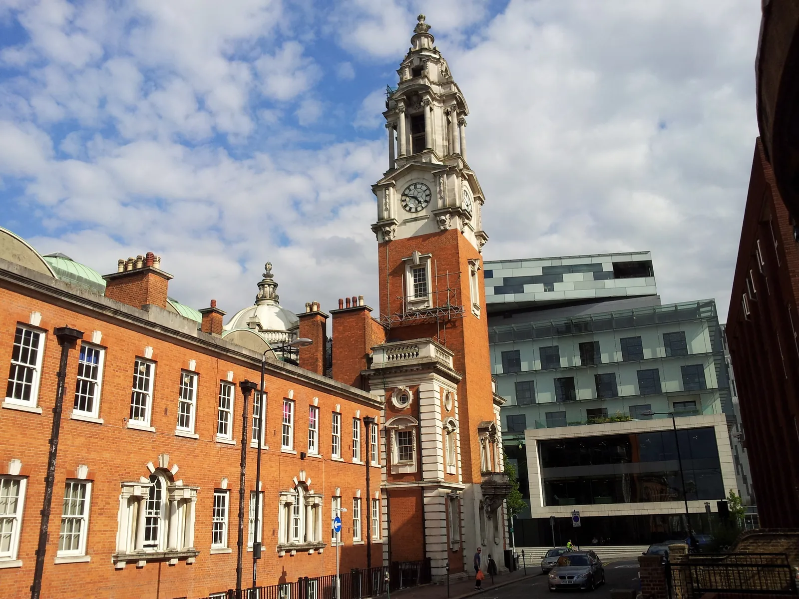
A topographical survey in Woolwich Town Centre should record the fall of the land toward the River Thames, including at the Royal Arsenal and around Beresford Square, together with flood defences and any drainage path relevant to the Thames tidal floodplain. The same survey is often used to plot root protection areas on sites close to Woolwich Common or the South East London Green Chain.
The Royal Borough of Greenwich uses topographical information to support flood, tree and design policies in the Core Strategy, adopted on 30 July 2014, including Policies E2 and OS(f), together with the London Plan, published on 2 March 2021. Confirm the current local validation requirements with the council before submitting.
Local plan: Royal Greenwich Local Plan: Core Strategy with Detailed Policies (The Royal Greenwich Local Plan: Core Strategy with Detailed Policies was adopted on 30 July 2014 and remains the adopted local plan. A new Local Plan is in preparation, including a draft consulted from late 2025, but that review is not treated as adopted policy. The London Plan, published on 2 March 2021, also forms part of the development plan. There is no 2027 successor council for this borough.)
OS(f): Ecological Factors
Policy OS(f) of the Core Strategy, adopted on 30 July 2014, requires development to take account of ecological factors, including an appropriate survey of existing trees, protection of trees and root systems, and surveys of flora and fauna on Sites of Importance for Nature Conservation and on sites over one hectare.
OS3: South East London Green Chain
Policy OS3 promotes and enhances the South East London Green Chain, including the Green Chain Walk from the Thames through Woolwich Common toward Shooters Hill and Eltham.
E2: Flood Risk
Policy E2 requires the Strategic Flood Risk Assessment to inform development, applies the sequential and exception tests, and requires flood risk assessments covering all sources of flooding, residual risk, climate change and the safeguarding of tidal and fluvial flood defences.
E3: Residual Flood Risk
Policy E3 addresses residual flood risk behind the Thames tidal defences.
OS4: Biodiversity
Policy OS4 requires Royal Greenwich’s rich biodiversity to be protected, restored and enhanced, with a presumption against development of SSSIs, SINCs and Local Nature Reserves. It does not set a biodiversity net gain percentage above the national minimum.
General guidance for topographical survey, not formal advice for your site.
The Royal Borough of Greenwich. The London Plan also forms part of the development plan. The borough is the Lead Local Flood Authority. There is no 2027 successor council for this borough.
Accurate levels are needed to support a flood risk assessment under Policy E2, especially on the Thames tidal floodplain at Woolwich Town Centre and the Royal Arsenal, and to plot root protection areas under Policy OS(f) around Woolwich Common and the South East London Green Chain.
Yes. The London Plan, published on 2 March 2021, forms part of the development plan. The London Plan forms part of the development plan alongside the Core Strategy adopted on 30 July 2014.