Featured partner
Recommended for Cambridge

ROAVR Group
Tree, ecology, flood risk and topographical surveys for planning applications.
4.9 Google rating
Get a quote
Local experts.
Featured partner
Recommended for Cambridge
Tree, ecology, flood risk and topographical surveys for planning applications.
4.9 Google rating
Local experts.
Multidisciplinary consultancy whose own site publishes a Cambridgeshire office at…
Planning and surveying practice whose own site publishes a Cambridgeshire office at…
Land and measured building survey practice whose own site publishes an address at 23…
Land and measured building survey practice whose own site publishes an address at 62…
A topographical survey in Cambridge is often needed where work could affect the Central Conservation Area, or the River Cam. Cambridge City Council is the local planning authority. Measured survey work is often used to record levels, trees and built form in the Central Conservation Area and at the River Cam before a planning application is drawn up. It is a historic university city around the official Central Conservation Area and the River Cam, quite unlike Huntingdon, St Neots or St Ives. The adopted Cambridge Local Plan 2018 applies here. Confirm the current validation requirements with the council before submitting.
Local planning authority: Cambridge City Council
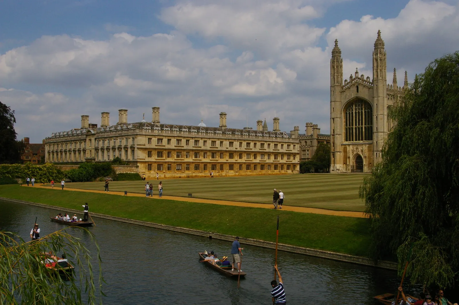
Cambridge is in the area of Cambridge City Council. It is a historic university city around the official Central Conservation Area and the River Cam, quite unlike Huntingdon, St Neots or St Ives. The adopted Cambridge Local Plan 2018 applies here. The Central Conservation Area and the River Cam are the official features that shape topographical survey work here. Cambridgeshire County Council is the Lead Local Flood Authority. There is no confirmed successor council for Cambridge.
In Cambridge, including around the Central Conservation Area and at the River Cam, the same adopted local plan policies apply. Cambridge City Council uses topographical information to assess proposals around official features, including the Central Conservation Area and the River Cam. Policy 71 (Trees) of the Cambridge Local Plan 2018, adopted on 18 October 2018, provides that development will not be permitted which involves felling, significant surgery or potential root damage to trees of amenity or other value, unless there are demonstrable public benefits accruing from the proposal which clearly outweigh the current and future amenity value of the trees. Development proposals should preserve, protect and enhance existing trees and hedges that have amenity value as perceived from the public realm; provide appropriate replacement planting where felling is proved necessary; and provide sufficient space for trees and other vegetation to mature. Particular consideration should be given to veteran or ancient trees, as defined by Natural England, in order to preserve their historic, ecological and amenity value. Confirm the current validation requirements with the council before submitting.
Local plan: Cambridge Local Plan 2018 (adopted)
69: Protection of sites of biodiversity and geodiversity importance
Policy 69 (Protection of sites of biodiversity and geodiversity importance) of the Cambridge Local Plan 2018, adopted on 18 October 2018, provides that, in determining any planning application affecting a site of biodiversity or geodiversity importance, development will be permitted if it will not have an adverse impact on, or lead to the loss of, part or all of a site identified on the Policies Map. Regard must be had to the international, national or local status and designation of the site and the nature and quality of the site's intrinsic features, including its rarity. Where development is permitted, proposals must include measures to minimise harm, to secure achievable mitigation and/or compensatory measures, and where possible enhance the nature conservation value of the site affected. The policy does not set a higher than statutory biodiversity net gain percentage. Cambridge City Council applies the statutory 10 per cent minimum.
70: Protection of priority species and habitats
Policy 70 (Protection of priority species and habitats) of the Cambridge Local Plan 2018, adopted on 18 October 2018, provides that development will be permitted which protects priority species and habitats and enhances habitats and populations of priority species. Proposals that harm or disturb populations and habitats should minimise any ecological harm and secure achievable mitigation and/or compensatory measures, resulting in either no net loss or a net gain of priority habitat and local populations of priority species. Where significant harm cannot be avoided, adequately mitigated or, as a last resort, compensated for, planning permission will be refused. The policy does not set a higher than statutory biodiversity net gain percentage. Cambridge City Council applies the statutory 10 per cent minimum.
32: Flood risk
Policy 32 (Flood risk) of the Cambridge Local Plan 2018, adopted on 18 October 2018, requires it to be demonstrated that the peak rate and post-development volume of run-off over the lifetime of the development, allowing for climate change, are no greater than for the undeveloped site; that flooding of property in and adjacent to the development would not occur for a 1 in 100 year event plus climate change, including in the event of local drainage system failure; that discharge locations have capacity; and that a management and maintenance plan is in place for the lifetime of the development. Discharge should be to ground via infiltration first, then to a water body, then to a surface water sewer. Discharge to a foul water or combined sewer is unacceptable. Development is also required to be supported by an assessment of the flood risk to the development.
71: Trees
Policy 71 (Trees) of the Cambridge Local Plan 2018, adopted on 18 October 2018, provides that development will not be permitted which involves felling, significant surgery or potential root damage to trees of amenity or other value, unless there are demonstrable public benefits accruing from the proposal which clearly outweigh the current and future amenity value of the trees. Development proposals should preserve, protect and enhance existing trees and hedges that have amenity value as perceived from the public realm; provide appropriate replacement planting where felling is proved necessary; and provide sufficient space for trees and other vegetation to mature. Particular consideration should be given to veteran or ancient trees, as defined by Natural England, in order to preserve their historic, ecological and amenity value.
General guidance for topographical survey, not formal advice for your site.
Cambridge City Council. Cambridgeshire County Council is the Lead Local Flood Authority. There is no confirmed successor council for Cambridge.
A topographical survey in Cambridge is often needed to record levels, trees and built form in the Central Conservation Area or at the River Cam before a planning application is drawn up. Confirm the current validation requirements with the council.
Accurate levels and feature locations help show how a proposal relates to the Central Conservation Area and the River Cam, including trees, water and built form. Confirm the current validation requirements with the council.
No other published town guides for this survey in the council area yet.