Featured partner
Recommended for Camden Town

ROAVR Group
Tree, ecology, flood risk and topographical surveys for planning applications.
4.9 Google rating
Get a quote
Local experts.
Featured partner
Recommended for Camden Town
Tree, ecology, flood risk and topographical surveys for planning applications.
4.9 Google rating
Local experts.
Land and building surveying company with offices in Surrey (Dunsfold Park), London,…
Measured building and land surveyors trading from 111 Gosterwood Street in Deptford, in…
Land and measured-building survey practice with a London office in Crystal Palace.
Land survey and site engineering practice based in Chesham, north-west of the M25.
An accurate topographical survey of levels, trees, buildings and the Regent's Canal edge is the usual base plan for a BS 5837 tree survey and for drainage design in Camden Town. Along Camden High Street and around Camden Lock, it shows how a proposal sits on tight plots, where basement and courtyard levels relate to the street and the canal, and how overland flow would move in a storm. The London Borough of Camden expects trees of amenity or ecological value to be plotted and protected, and it requires surface water flood risk to be understood from the outset. Flood risk assessments and SuDS schemes depend on reliable levels and the position of existing drains, trees and soft landscape.
Local planning authority: London Borough of Camden
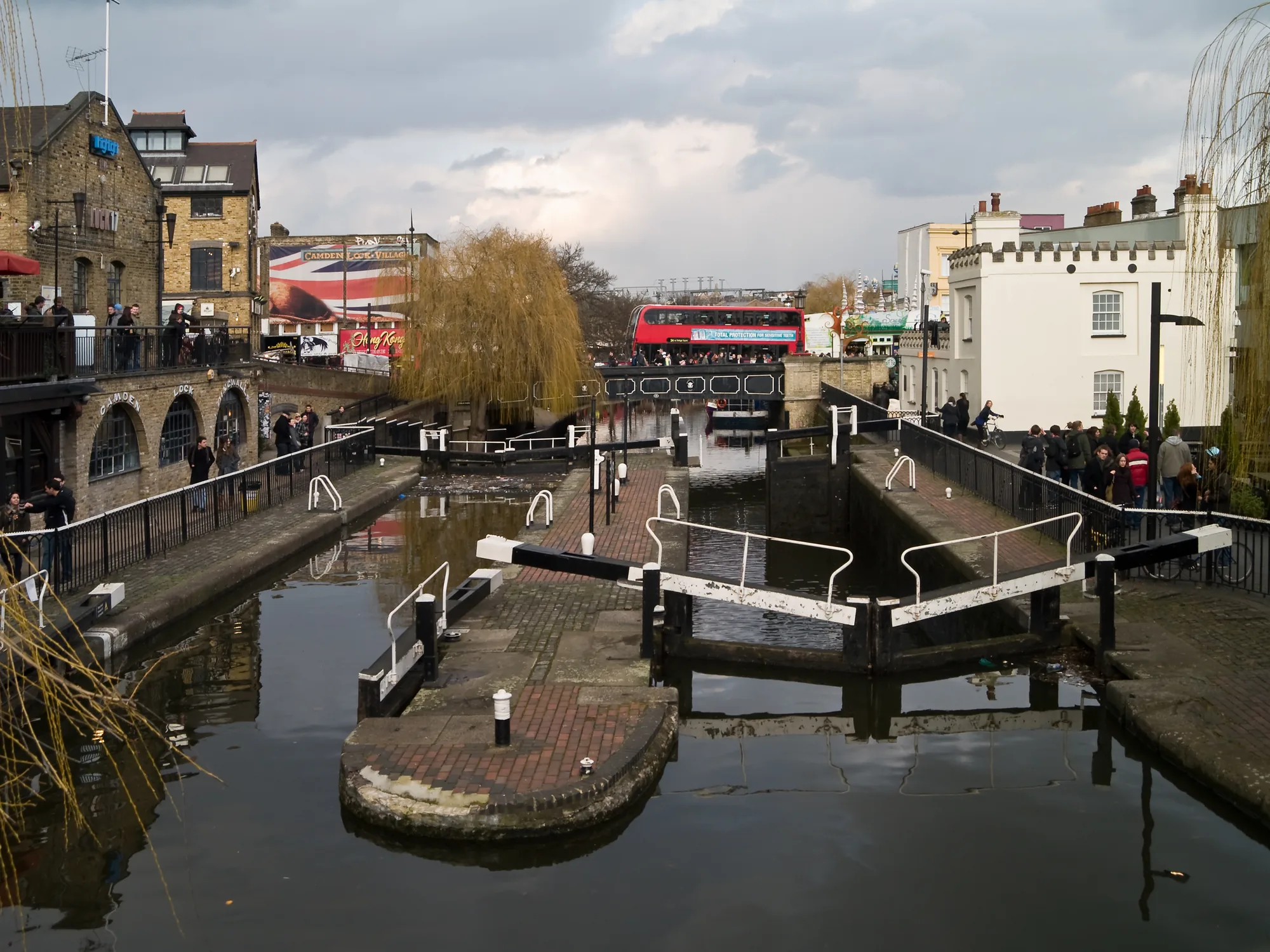
Sites on Camden High Street, around Camden Lock and beside the Regent's Canal need accurate levels and tree positions. A topographical survey supports Policy A3 and the flood-risk work required under Policy CC3, including surface water flood risk.
The London Borough of Camden relies on accurate site information to apply Policy A3 on trees and biodiversity and Policy CC3 on flood risk and drainage. Confirm the current local validation requirements with the council before submitting.
Local plan: Camden Local Plan (The Camden Local Plan was adopted on 3 July 2017 and remains the adopted local plan. A later review may be in examination and is not treated as adopted. The London Plan, published on 2 March 2021, also forms part of the development plan. There is no 2027 successor council for this borough.)
A3: Biodiversity
Policy A3 of the Camden Local Plan, adopted on 3 July 2017, protects and enhances sites of nature conservation and biodiversity. The council will designate and protect nature conservation sites and safeguard protected and priority habitats and species, and will not grant permission for development that would directly or indirectly result in the loss or harm of a designated nature conservation site or adversely affect the status or population of priority habitats and species. Other features with nature conservation value, including gardens, should be protected wherever possible. The policy also protects trees and vegetation of significant amenity, historic, cultural or ecological value, requires trees and vegetation to be retained to be protected during demolition and construction in line with BS 5837:2012, and expects replacement planting where loss has been justified and additional trees and vegetation wherever possible. An ecology scoping survey is expected on all major sites unless the council has specifically agreed it is not. The policy seeks a net gain in biodiversity but does not set a percentage above the statutory 10 per cent minimum.
CC3: Water and flooding
Policy CC3 requires development not to increase flood risk and to reduce the risk of flooding where possible. Development must incorporate water efficiency measures, avoid harm to the water environment, consider the impact of development in areas at risk of flooding including drainage, incorporate flood resilient measures in areas prone to flooding, use Sustainable Drainage Systems in line with the drainage hierarchy to achieve a greenfield run-off rate where feasible, and not locate vulnerable development in flood-prone areas. Where an assessment of flood risk is required, developments should consider surface water flooding in detail and groundwater flooding where applicable. Supporting text identifies surface water as the key flood risk in Camden, including Local Flood Risk Zones and previously flooded streets, with a smaller risk of groundwater flooding in parts of the borough.
General guidance for topographical survey, not formal advice for your site.
The London Borough of Camden. The London Plan also forms part of the development plan. The borough is the Lead Local Flood Authority. There is no 2027 successor council for this borough.
It supports the tree protection expected under Policy A3 and the flood risk and drainage work required by Policy CC3, especially on Camden High Street and beside the Regent's Canal at Camden Lock.
Yes. The London Plan, published on 2 March 2021, forms part of the development plan. Policy G7 and Policies SI12 and SI13 are the London Plan policies most often read alongside a site survey.
No other published town guides for this survey in the council area yet.