Featured partner
Recommended for Chertsey

ROAVR Group
Tree, ecology, flood risk and topographical surveys for planning applications.
4.9 Google rating
Get a quote
Local experts.
Featured partner
Recommended for Chertsey
Tree, ecology, flood risk and topographical surveys for planning applications.
4.9 Google rating
Local experts.
Surveying and construction consultancy with its head office at Merrow Business Park in…
Land surveying company based in Shere, in Guildford borough.
Land and building surveying company with offices in Surrey (Dunsfold Park), London,…
Underground mapping and land surveying company with its registered office in Wormley and…
A topographical survey in Chertsey should pick up levels on the River Thames floodplain, at Chertsey Meads, and features in the Chertsey Conservation Area. Accurate levels matter for flood risk assessment under Policy EE13 as well as for layout. The local planning authority is Runnymede Borough Council. The Runnymede 2030 Local Plan was adopted on 16 July 2020. Policy EE13 depends on reliable site levels in Flood Zone 2, Flood Zone 3, on sites over 1 hectare in Flood Zone 1, or on a dry island.
Local planning authority: Runnymede Borough Council
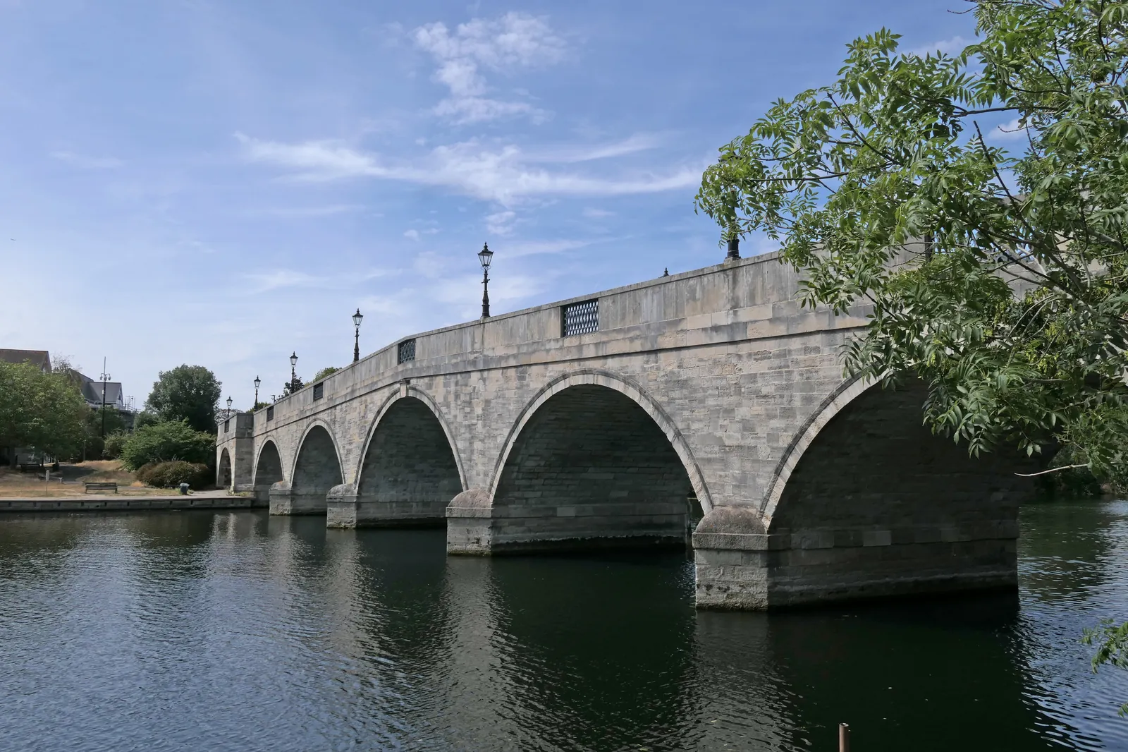
Chertsey Meads and the River Thames frontage are low-lying, with subtle changes in bank, towpath and threshold level. Trees and historic fabric in the Chertsey Conservation Area may also need to be shown where they constrain the layout. The survey should be coordinated with a flood risk assessment. Metropolitan Green Belt land around the town may form part of the same floodplain.
Runnymede Borough Council will expect drawings that rely on site levels, including flood risk assessments under Policy EE13 of the Runnymede 2030 Local Plan, adopted on 16 July 2020, and tree or landscape work under Policy EE11. A topographical survey is often the evidence that ties those assessments together. Confirm the current validation requirements with the council before submitting.
Local plan: Runnymede 2030 Local Plan (Adopted on 16 July 2020 and still in force. The council adopted a timetable for a new Local Plan on 25 February 2026, with issues and options scoping consultation from 7 September to 12 October 2026; the new plan had not been adopted as of 13 November 2026.)
EE10: Thames Basin Heaths Special Protection Area
No additional residential development within 400 m of the SPA. Non-residential development within 400 m may require Appropriate Assessment. All additional residential development beyond 400 m but within 5 km must provide adequate avoidance measures, generally SANG and SAMM.
EE12: Blue Infrastructure
Protects and enhances rivers and other waterbodies, including buffers, deculverting and fish passage, and requires SuDS designs to take account of wildlife.
EE1: Townscape and Landscape Quality
Requires development to respect and enhance townscape and landscape quality, including the setting of the River Thames and historic landscapes around Egham.
General guidance for topographical survey, not formal advice for your site.
Runnymede Borough Council. From 1 April 2027 planning powers pass to the new West Surrey unitary council under local government reorganisation.
A topographical survey is likely where flood risk, trees or a change in levels would affect the layout, including on the River Thames, at Chertsey Meads and in the Chertsey Conservation Area. Confirm the current validation requirements with the council.
Yes. Chertsey sits on the River Thames floodplain at Chertsey Meads, and Policy EE13 depends on accurate levels.