Featured partner
Recommended for Ealing

ROAVR Group
Tree, ecology, flood risk and topographical surveys for planning applications.
4.9 Google rating
Get a quote
Local experts.
Featured partner
Recommended for Ealing
Tree, ecology, flood risk and topographical surveys for planning applications.
4.9 Google rating
Local experts.
Land survey practice based in Harrow, West London.
Land and building surveying company with offices in Surrey (Dunsfold Park), London,…
Land survey and site engineering practice based in Chesham, north-west of the M25.
Land and measured-building survey practice with a London office in Crystal Palace.
Along the River Brent and through Brent River Park, a topographical survey in Ealing also has to show the eight-metre setback from main rivers that Policy 5.12 requires, as well as levels in Ealing Town Centre. For planning applications the local planning authority is the London Borough of Ealing. Policy 5.12 of the Development Management DPD, adopted on 10 December 2013, will not permit vulnerable development, or development that reduces floodplain capacity, within an 8 metre buffer along main rivers and a 5 metre buffer alongside ordinary watercourses. A measured survey also supports tree protection and design amenity work.
Local planning authority: London Borough of Ealing
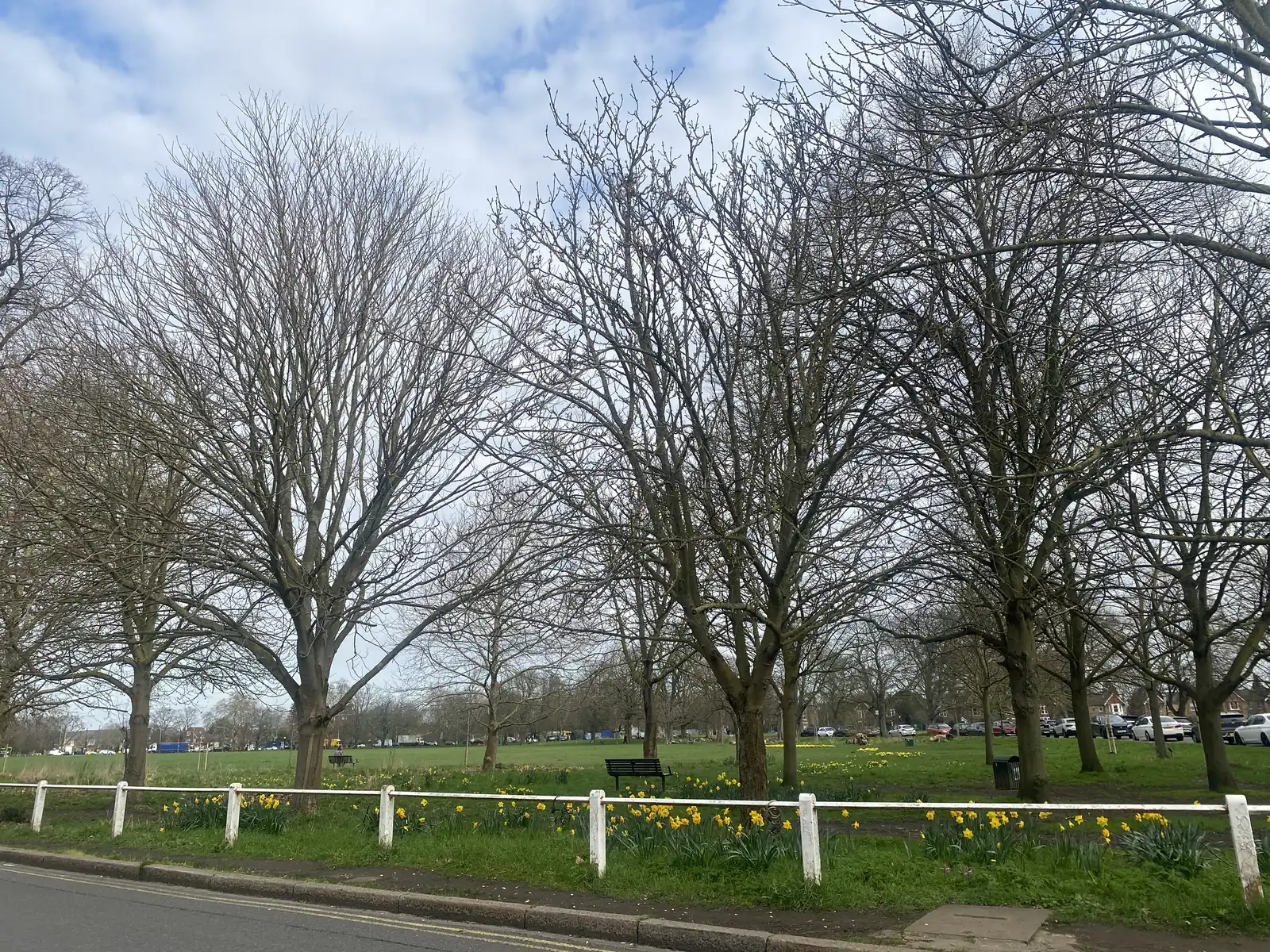
Ealing Broadway, Haven Green, Ealing Green and the streets around Walpole Park need accurate street and building levels for layout drawings, while riverside sites at Pitshanger Park and Brent River Park need water edges and the Policy 5.12 buffers.
The London Borough of Ealing assesses waterside layout under Policy 5.12 of the Development Management DPD, adopted on 10 December 2013, including the 8 metre main-river and 5 metre ordinary-watercourse buffers, together with Policy 7B on design amenity and London Plan Policy SI 12. Confirm current drawing standards and any validation requirements with the council before submitting.
Local plan: Ealing Development (Core) Strategy 2026 (adopted 3 April 2012), Ealing Development Management DPD (adopted 10 December 2013) and The London Plan 2021 (published 2 March 2021) (The Development (Core) Strategy was adopted on 3 April 2012 and the Development Management DPD on 10 December 2013. Both remain the adopted borough development plan as of 13 November 2026, together with the London Plan 2021, published on 2 March 2021. A new Ealing Local Plan has reached proposed main modifications, including a draft 20 per cent biodiversity net gain figure; it is not adopted and is not used in these drafts. The draft London Plan 2026 is in consultation and is not adopted. There is no 2027 successor council. The London Borough of Ealing is the local planning authority and the Lead Local Flood Authority.)
5.10: Urban Greening
Ealing's local variation to London Plan urban greening policy requires development proposals to replace existing trees and plantings on the basis of no net loss of amenity. Provision for trees or plantings on site should replace those lost in consequence of the development; the quality and type of amenity offered should be the same or better.
5.11: Green Roofs and Development Site Environs
Ealing's local variation strongly encourages green roofs on all development where appropriate in design, contextual and conservation terms, and requires green roofs on major development within 100 metres of Green Belt, Metropolitan Open Land, a Green Corridor, Public Open Space, Community Open Space or a Site of Importance for Nature Conservation. Where amenity and biodiversity functions conflict in that buffer, biodiversity should take precedence.
5.12: Flood Risk Management
Ealing's local variation requires all development, including that on land that is not part of a defined floodplain, to ensure it is not vulnerable to surface water, sewer and groundwater flooding. New development that reduces the capacity of the floodplain or is in any way vulnerable to flooding will not be permitted within an 8 metre buffer along all main rivers and a 5 metre buffer alongside all ordinary watercourses. There is a general presumption against treatments that do not take a sustainable approach to drainage in domestic gardens and open space.
5.4: Protect the Natural Environment – Biodiversity and Geodiversity
Requires the council to protect and promote the network of nature conservation sites by enhancing their natural value and improving access, particularly in areas of deficiency. Biodiversity will be considered in the management of all green spaces and the network of waterways, and where development is proposed in or adjacent to such spaces. Particular priority is also placed on protecting sites not formally designated, including gardens and private amenity space, and on priority species identified in Biodiversity Action Plans.
7B: Design Amenity
Requires new development to achieve a high standard of amenity for users and adjacent uses, including high quality architecture, good levels of daylight, sunlight and privacy, coherent site development, a positive visual impact, and legibility and accessibility. External treatments must complement the building and context.
G6: Biodiversity and access to nature
London Plan Policy G6 requires development proposals to manage impacts on biodiversity and aim to secure net biodiversity gain. Sites of Importance for Nature Conservation should be protected. The policy does not set a percentage.
G7: Trees and woodlands
Requires existing trees of value to be retained wherever possible. Where trees are removed, there should be adequate replacement based on the value of the benefits lost, determined by a method such as i-Tree or CAVAT. Additional planting, particularly of large-canopied species, should generally be included.
SI 12: Flood risk management
Requires development proposals to minimise and mitigate flood risk and address residual risk, including, where possible, making space for water and setting development back from watercourses. In London the boroughs are the Lead Local Flood Authorities.
General guidance for topographical survey, not formal advice for your site.
London Borough of Ealing. The London Plan also forms part of the development plan. The borough is the Lead Local Flood Authority. There is no 2027 successor council for this borough.
Policy 5.12 requires an 8 metre buffer along main rivers and 5 metres alongside ordinary watercourses. A measured survey is the usual way to show those buffers along the River Brent and Brent River Park, and to support flood risk, tree protection and layout drawings in Ealing Town Centre.
No. Accurate levels also matter in Ealing Town Centre and around Ealing Broadway, Haven Green and Ealing Green, particularly where surface-water flow routes, tree constraints or changes of level affect the layout.