Featured partner
Recommended for Epsom

ROAVR Group
Tree, ecology, flood risk and topographical surveys for planning applications.
4.9 Google rating
Get a quote
Local experts.
Featured partner
Recommended for Epsom
Tree, ecology, flood risk and topographical surveys for planning applications.
4.9 Google rating
Local experts.
Land surveying company based in Shere, in Guildford borough.
Surveying and construction consultancy with its head office at Merrow Business Park in…
Land and building surveying company with offices in Surrey (Dunsfold Park), London,…
Measured survey company founded in Cranleigh and now based in Camberley, with a second…
Accurate levels on the slopes below Epsom Downs, particularly along Ashley Road, Church Street and Worple Road, are why a topographical survey matters in Epsom. The Section 19 report records north-running surface water flow routes on those streets. The survey measures buildings, trees and water edges so that a design, flood model or tree protection plan is based on the site as it is. The local planning authority is Epsom and Ewell Borough Council. Those levels also support Policy DM19 drainage design and Policy DM5 tree surveys.
Local planning authority: Epsom and Ewell Borough Council
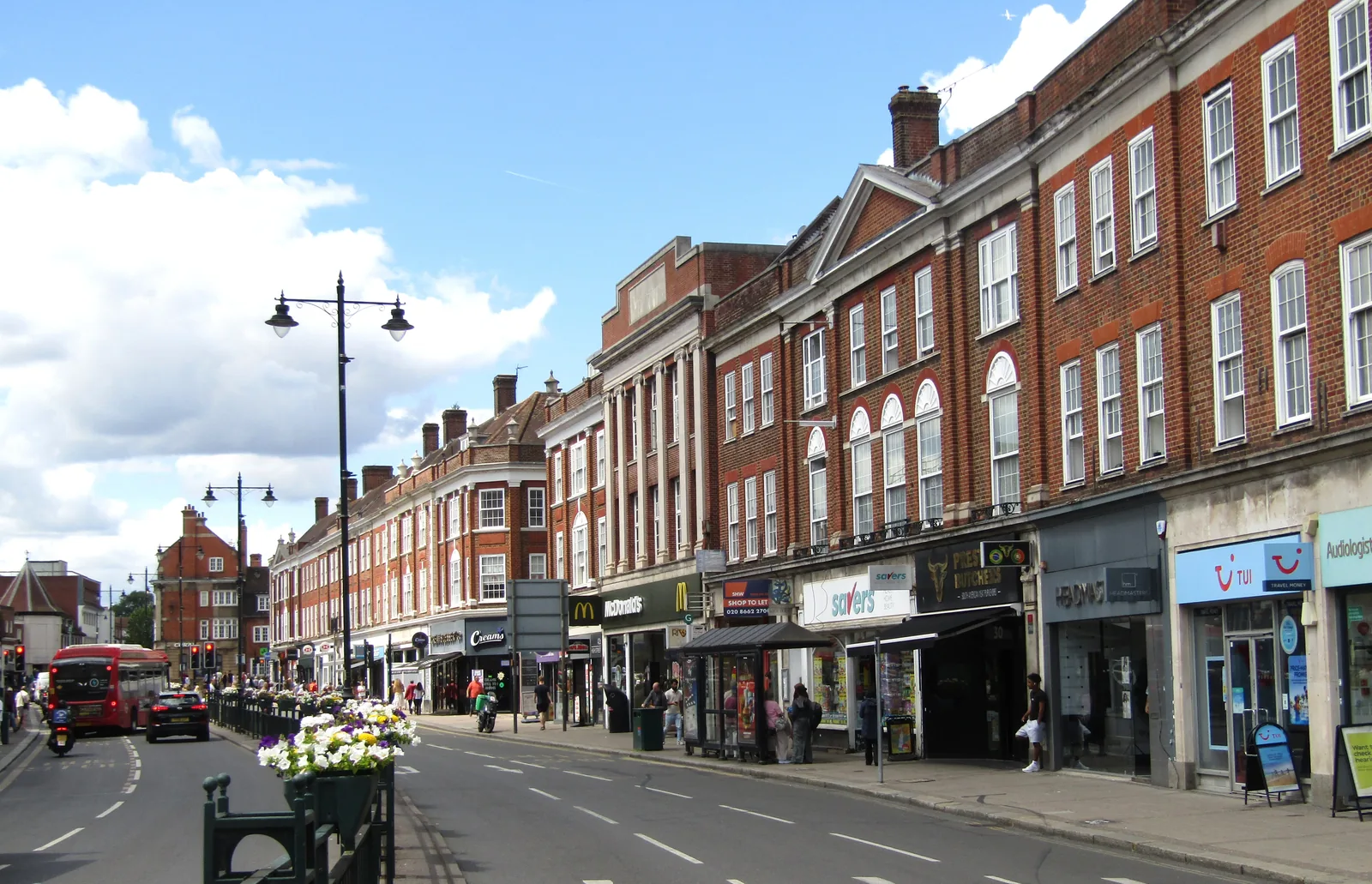
Epsom falls from Epsom Downs towards the town centre, so small changes in kerb, gully and threshold level affect how surface water moves along Ashley Road, Church Street and Worple Road. After 2013/14 the county council altered the topography of Church Street when it was resurfaced under Project Horizon, specifically to improve flow to highway gullies. A survey should pick up falls, gullies and trees, and should be coordinated with any flood risk or BS5837 tree work towards Epsom Common or Nonsuch Park.
Epsom and Ewell Borough Council will expect drawings that rely on site levels, including flood risk assessments under Policy DM19 and tree or landscape work under Policy DM5, to be based on a competent topographical survey. Policy DM10 of the Development Management Policies Document, dated September 2015, requires new development to incorporate principles of good design, including scale, layout, height, form, massing, plot width and building line in relation to the street. Confirm drawing standards and any validation requirements with the council before submitting.
Local plan: Epsom and Ewell Core Strategy (2007) and Development Management Policies Document (2015) (The Core Strategy was adopted on 24 July 2007. The Development Management Policies Document is dated September 2015 and remains, with the Core Strategy, the adopted development plan. A new Local Plan 2022-2040 was submitted for examination on 10 March 2025 and had not been adopted as of 13 November 2026.)
DM10: Design Requirements for New Developments (including House Extensions)
Requires development proposals to incorporate principles of good design, and to respect, maintain or enhance the character and local distinctiveness of the street or area. The essential elements include prevailing typology and density, scale, layout, height, form (including roof forms), massing, plot width, building line, and typical details such as windows, materials and design detailing. Proposals should also be adaptable, incorporate safe design, have regard to the amenities of occupants and neighbours, provide appropriate access and servicing, and avoid visually intrusive structures.
DM4: Biodiversity and New development
Restricts development affecting nature conservation sites and habitats of international, national or local importance except in defined circumstances. Development affecting sites or buildings that support legally protected species is only permitted if appropriate mitigation and compensatory measures are agreed, with no net loss of biodiversity. Whether or not statutory protection applies, every opportunity should be taken to secure a net benefit to the borough's biodiversity, including an assessment of existing nature conservation assets at application stage. The policy does not set a percentage net gain.
General guidance for topographical survey, not formal advice for your site.
Epsom and Ewell Borough Council. From 1 April 2027 planning powers pass to the new East Surrey unitary council under local government reorganisation.
Surface water runs generally north from Epsom Downs towards the town centre. The Section 19 report highlights Ashley Road, Church Street and Worple Road on those flow routes, and later resurfacing of Church Street was designed to change the road topography so water reached the gullies more effectively.
Yes. A tree survey under Policy DM5 and a flood risk assessment under Policy DM19 both rely on accurate positions and levels, including kerbs, gullies and canopy spreads.
No other published town guides for this survey in the council area yet.