Featured partner
Recommended for Gosport

ROAVR Group
Tree, ecology, flood risk and topographical surveys for planning applications.
4.9 Google rating
Get a quote
Local experts.
Featured partner
Recommended for Gosport
Tree, ecology, flood risk and topographical surveys for planning applications.
4.9 Google rating
Local experts.
Land surveying practice whose own site publishes an office at 27 Flagpond Road,…
Land and measured survey practice whose own contact and topographical-surveys pages…
Land surveying practice whose own site publishes an office at 21 Kingsway, Chandler's…
A topographical survey in Gosport is often needed where work could affect the High Street Conservation Area, or the Stoke Road Conservation Area. Gosport Borough Council is the local planning authority. Accurate levels are often needed around the High Street Conservation Area and at the Stoke Road Conservation Area before a planning application is drawn up, including on sites that may sit in areas of flood risk or where historic buildings and trees need to be recorded. It is a historic harbour peninsula town around the High Street Conservation Area and the Stoke Road Conservation Area, quite unlike Fareham to the north or Portsmouth across the harbour. The adopted Gosport Borough Local Plan 2011-2029 applies here. Confirm the current validation requirements with the council before submitting.
Local planning authority: Gosport Borough Council
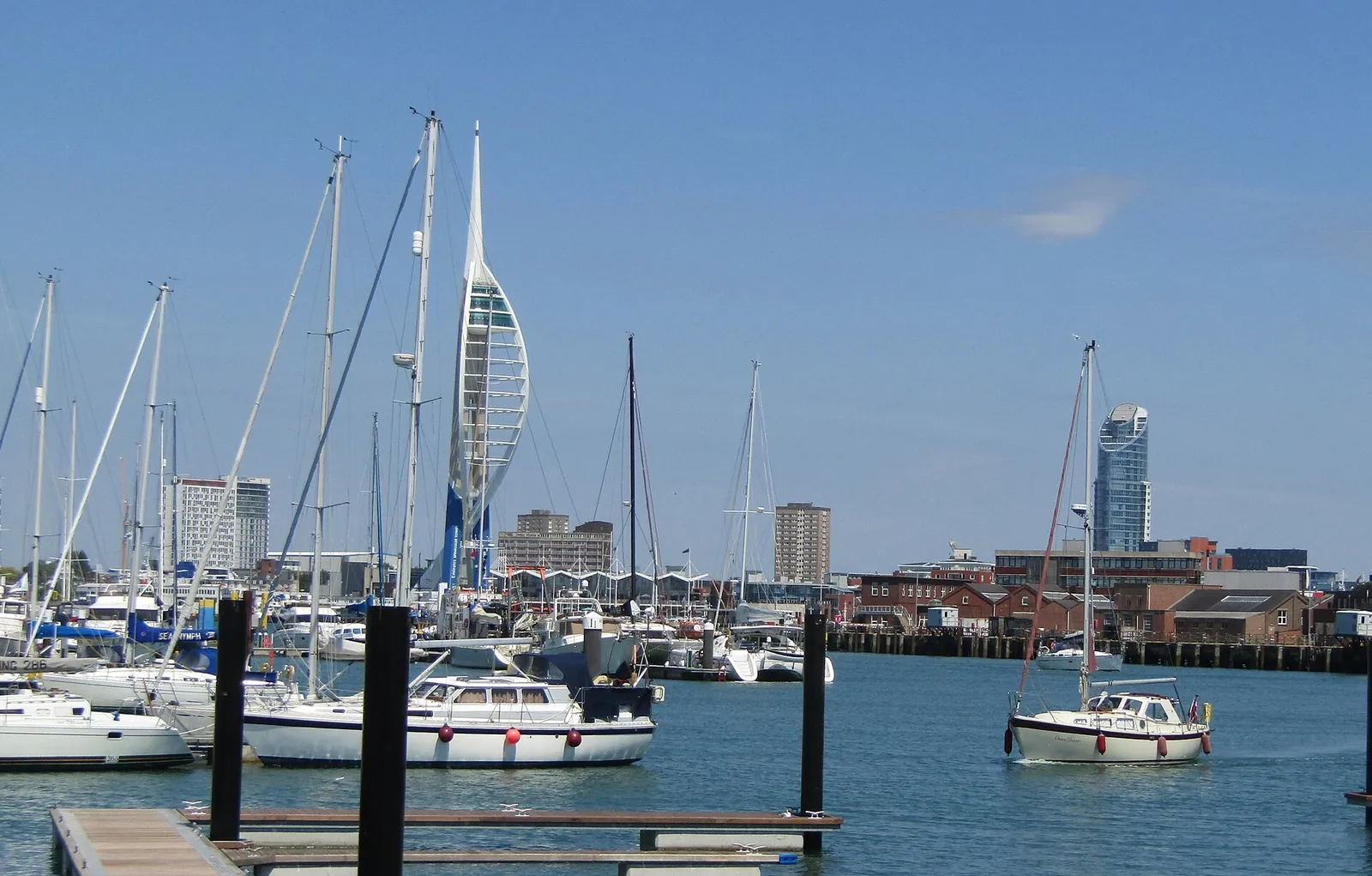
Gosport is in the area of Gosport Borough Council. It is a historic harbour peninsula town around the High Street Conservation Area and the Stoke Road Conservation Area, quite unlike Fareham to the north or Portsmouth across the harbour. The adopted Gosport Borough Local Plan 2011-2029 applies here. The High Street Conservation Area and the Stoke Road Conservation Area are the official features that shape topographical survey work here. Hampshire County Council is the Lead Local Flood Authority. There is no confirmed 2027 successor council for Hampshire.
In Gosport, including around the High Street Conservation Area and at the Stoke Road Conservation Area, the same adopted local plan policies apply. Gosport Borough Council will need accurate site levels and features around the High Street Conservation Area and at the Stoke Road Conservation Area to support planning drawings, tree protection and, where relevant, flood risk assessment under Policy LP45. Confirm the current validation requirements with the council before submitting.
Local plan: Gosport Borough Local Plan 2011-2029 (adopted)
LP44: Protecting Species and Other Features of Nature Conservation Importance
Policy LP44 (Protecting Species and Other Features of Nature Conservation Importance) of the Gosport Borough Local Plan 2011-2029, adopted on 14 October 2015, does not grant planning permission on a site that would have an adverse impact on a protected species or its habitat unless an overriding need is clearly demonstrated, and requires habitats and species on the UK list of priority habitats and species to be protected and populations strengthened.
LP42: Internationally and Nationally Important Habitats
Policy LP42 (Internationally and Nationally Important Habitats) of the Gosport Borough Local Plan 2011-2029, adopted on 14 October 2015, does not grant planning permission for development which will affect the integrity of internationally important sites, and will not normally grant permission for development that directly or indirectly harms a Site of Special Scientific Interest.
LP45: Flood Risk and Coastal Erosion
Policy LP45 (Flood Risk and Coastal Erosion) of the Gosport Borough Local Plan 2011-2029, adopted on 14 October 2015, is the adopted policy for flood risk and coastal erosion, and requires new development to ensure there will be no net increase in flood risk.
General guidance for topographical survey, not formal advice for your site.
Gosport Borough Council. Hampshire County Council is the Lead Local Flood Authority. There is no confirmed 2027 successor council for Hampshire.
A topographical survey in Gosport is often needed to record levels and site features in the High Street Conservation Area or at the Stoke Road Conservation Area before a planning application is drawn up. Confirm the current validation requirements with the council.
Accurate levels matter in the High Street Conservation Area and at the Stoke Road Conservation Area, including on sites that may sit in areas of flood risk or where historic buildings and trees need to be recorded. Confirm the current validation requirements with the council.
No other published town guides for this survey in the council area yet.