Featured partner
Recommended for Harlow

ROAVR Group
Tree, ecology, flood risk and topographical surveys for planning applications.
4.9 Google rating
Get a quote
Local experts.
Featured partner
Recommended for Harlow
Tree, ecology, flood risk and topographical surveys for planning applications.
4.9 Google rating
Local experts.
Geospatial survey practice based at 92 Bellhouse Lane, Leigh-on-Sea.
Essex-based survey practice with its HQ at Mapline House, 14 Bull Lane, Rayleigh.
Measured and topographical survey practice with a trading office in Essex at The Old…
Survey practice based at Unit 5, Coptfold Hall Farm, Writtle Road, Margaretting, Essex,…
A topographical survey in Harlow is often needed to record levels and site features in the Old Harlow Conservation Area or around the Harlow Garden Village Estate Conservation Area before a planning application is drawn up. Harlow District Council is the local planning authority. Accurate levels matter in the Old Harlow Conservation Area and around the Harlow Garden Village Estate Conservation Area, including on sites that may sit in areas of flood risk or where trees and historic buildings need to be recorded. A topographical survey is the usual way to record existing buildings, trees, boundaries and ground levels. Confirm the current validation requirements with the council before submitting.
Local planning authority: Harlow District Council
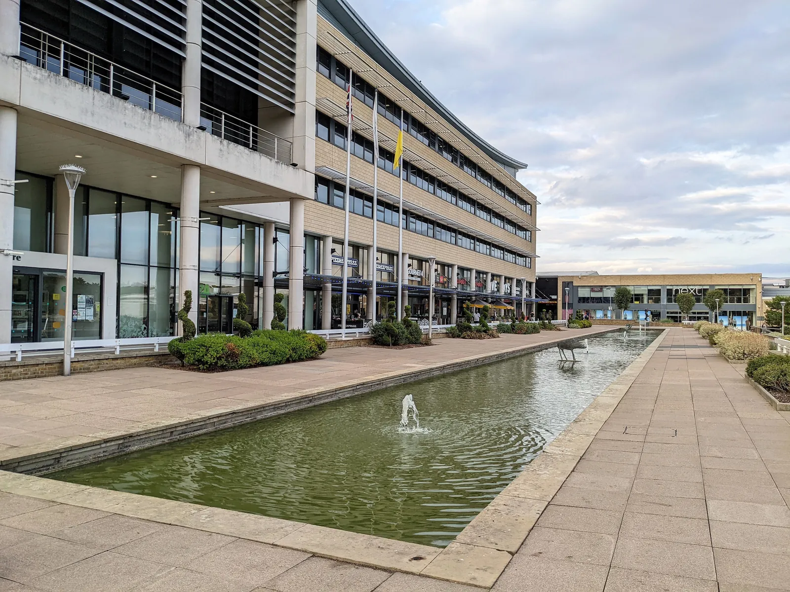
Harlow is in the area of Harlow District Council. It is a post-war New Town in west Essex, quite unlike the historic market towns of Uttlesford to the north or Brentwood to the south, planned around green wedges, with official conservation areas at Old Harlow, the original settlement, and the Harlow Garden Village Estate. The Old Harlow Conservation Area and the Harlow Garden Village Estate Conservation Area are the official features that shape topographical survey work here. Essex County Council is the Lead Local Flood Authority. There is no confirmed 2027 successor council for Essex.
In Harlow, including around the Old Harlow Conservation Area and around the Harlow Garden Village Estate Conservation Area, the same adopted local plan policies apply. Harlow District Council assesses site levels, flood risk and trees under Policy PL11 and Policy PL8 of the Harlow Local Development Plan 2011-2033. A topographical survey is the usual way to record existing buildings, trees, boundaries and ground levels before a planning application is drawn up. Confirm the current validation requirements with the council before submitting.
Local plan: Harlow Local Development Plan 2011-2033 (The Harlow Local Development Plan 2011-2033 was adopted on 10 December 2020 and is the statutory development plan as of 15 November 2026.)
WE3: General Strategy for Biodiversity and Geodiversity
Policy WE3 (General Strategy for Biodiversity and Geodiversity) says development proposals which may have an adverse impact on any internationally designated wildlife site, either alone or in-combination, must satisfy the Conservation of Habitats and Species Regulations. Development which would harm the nature conservation or geological interest of a nationally important wildlife site will not be supported unless the policy’s stated tests, including appropriate avoidance, mitigation or, as a last resort, compensation, are met.
PL8: Green Infrastructure and Landscaping
Policy PL8 (Green Infrastructure and Landscaping) says green infrastructure and landscaping must be protected and enhanced as part of development. Existing green infrastructure and landscaping are to be protected and enhanced and sympathetically integrated into the development, and new green infrastructure and landscaping must be well planned, including for future management and maintenance.
PL11: Water Quality, Water Management, Flooding and Sustainable Drainage Systems
Policy PL11 (Water Quality, Water Management, Flooding and Sustainable Drainage Systems) says all development proposals will be considered against national flood-risk policies, including the sequential test and, if necessary, the exception test. Development must follow a risk-based and sequential approach so that it is located in the lowest flood risk area, must not increase the risk of flooding elsewhere, and must aim to reduce flood risk overall.
General guidance for topographical survey, not formal advice for your site.
Harlow District Council. Essex County Council is the Lead Local Flood Authority. There is no confirmed 2027 successor council for Essex.
A topographical survey in Harlow is often needed to record levels and site features in the Old Harlow Conservation Area or around the Harlow Garden Village Estate Conservation Area before a planning application is drawn up. Confirm the current validation requirements with the council.
Accurate levels matter in the Old Harlow Conservation Area and around the Harlow Garden Village Estate Conservation Area, including on sites that may sit in areas of flood risk or where historic buildings and trees need to be recorded. Confirm the current validation requirements with the council.
No other published town guides for this survey in the council area yet.