Featured partner
Recommended for Hoddesdon

ROAVR Group
Tree, ecology, flood risk and topographical surveys for planning applications.
4.9 Google rating
Get a quote
Local experts.
Featured partner
Recommended for Hoddesdon
Tree, ecology, flood risk and topographical surveys for planning applications.
4.9 Google rating
Local experts.
Land and measured-building survey practice with its Welwyn office at Bridge Chambers,…
Stevenage land survey practice.
Bishop's Stortford site engineering and surveying practice.
Geospatial survey practice with its head office at Lea Business Park, Harpenden.
A topographical survey in Hoddesdon is often needed to record levels and features around the Hoddesdon Town Centre Conservation Area and the New River Conservation Area. Broxbourne Borough Council is the local planning authority. Measured levels matter along the New River and through the market place. Hoddesdon is a market town around a historic High Street and the New River, quite unlike Cheshunt around Churchgate, Cedars Park and the Old Pond. Measured plans support tree surveys, flood risk assessments and layout drawings. Confirm the current validation requirements with the council before submitting.
Local planning authority: Broxbourne Borough Council
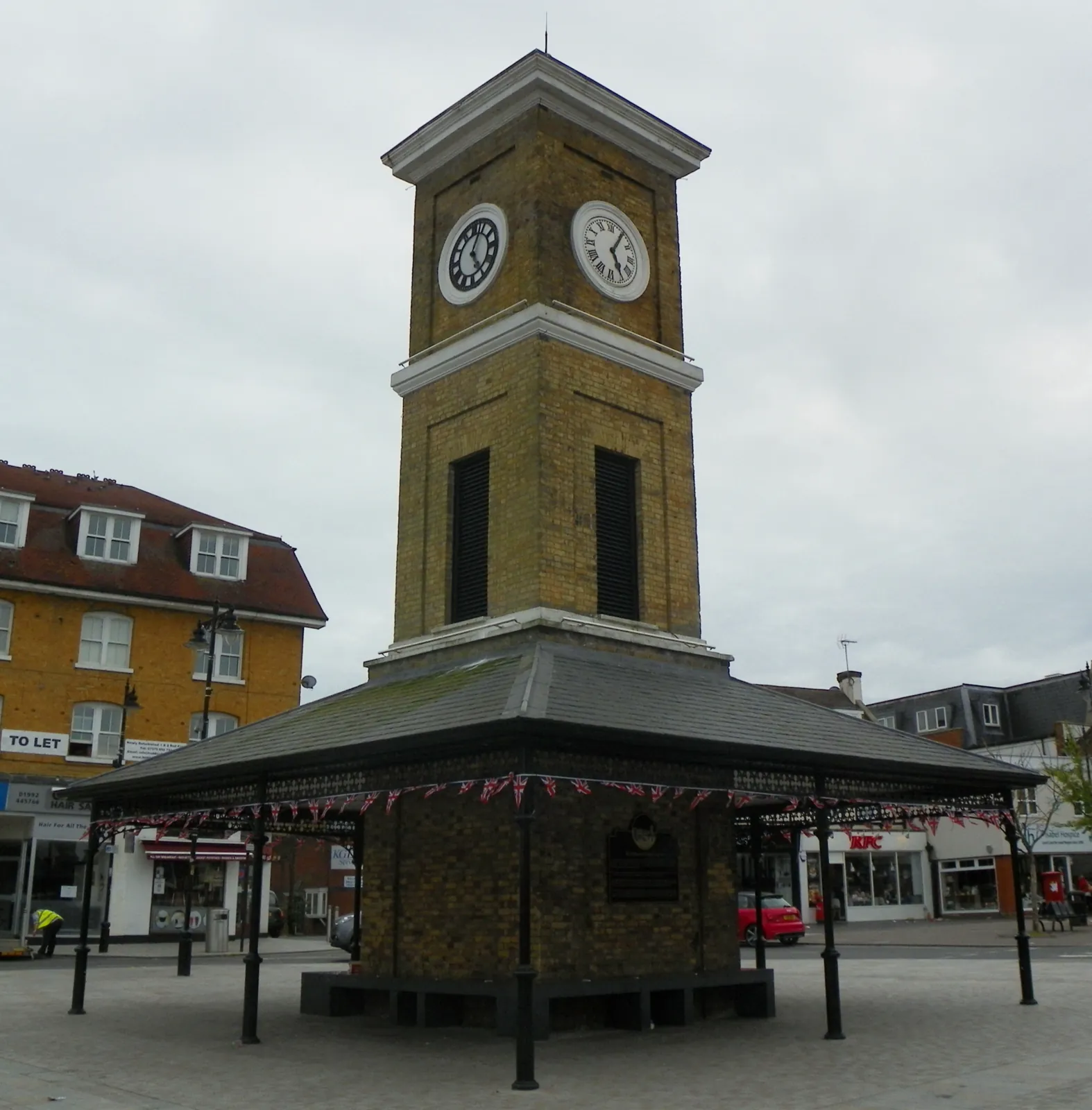
Hoddesdon is in the area of Broxbourne Borough Council. Hoddesdon is a market town around a historic High Street and the New River, quite unlike Cheshunt around Churchgate, Cedars Park and the Old Pond. The Hoddesdon Town Centre Conservation Area and the New River Conservation Area are the official features that shape survey work here. Hertfordshire County Council is the Lead Local Flood Authority. There is no confirmed 2027 successor council for Hertfordshire.
In Hoddesdon, including around Hoddesdon Town Centre Conservation Area and New River Conservation Area, the same adopted local plan policies apply. In, including around Conservation Area and, the same adopted local plan policies apply. Broxbourne Borough Council assesses tree and landscape issues under Policy NEB5 of the Broxbourne Local Plan 2018-2033, adopted on 23 June 2020, which protects ancient woodland, aged or veteran trees, protected trees and hedgerows. Confirm the current validation requirements with the council before submitting.
Local plan: Broxbourne Local Plan 2018-2033 (adopted)
NEB1: General Strategy for Biodiversity
Development proposals will be expected to apply the mitigation hierarchy of avoidance, mitigation and compensation, and should result in net gains to biodiversity wherever possible. The policy does not set a percentage above the statutory 10 per cent biodiversity net gain duty.
General guidance for topographical survey, not formal advice for your site.
Broxbourne Borough Council. There is no confirmed 2027 successor council for Hertfordshire. Hertfordshire County Council is the Lead Local Flood Authority.
A measured survey is often needed to record levels and features around the Hoddesdon Town Centre Conservation Area and the New River Conservation Area. Measured levels matter along the New River and through the market place. Confirm the current validation requirements with the council.
Measured plans support tree surveys, flood risk assessments and layout drawings.