Featured partner
Recommended for Lowestoft

ROAVR Group
Tree, ecology, flood risk and topographical surveys for planning applications.
4.9 Google rating
Get a quote
Local experts.
Featured partner
Recommended for Lowestoft
Tree, ecology, flood risk and topographical surveys for planning applications.
4.9 Google rating
Local experts.
Land surveying practice whose own site publishes a Suffolk office at 143 Denmark Road,…
A topographical survey in Lowestoft is often needed where work could affect the North Lowestoft Conservation Area, or the Lake Lothing. East Suffolk Council is the local planning authority. Measured survey work is often used to record levels, trees and built form in the North Lowestoft Conservation Area and at the Lake Lothing before a planning application is drawn up. It is Suffolk's north-eastern coastal town around the official North Lowestoft Conservation Area and Lake Lothing, quite unlike Beccles, Felixstowe or Woodbridge. The adopted East Suffolk Council Waveney Local Plan applies here. Confirm the current validation requirements with the council before submitting.
Local planning authority: East Suffolk Council
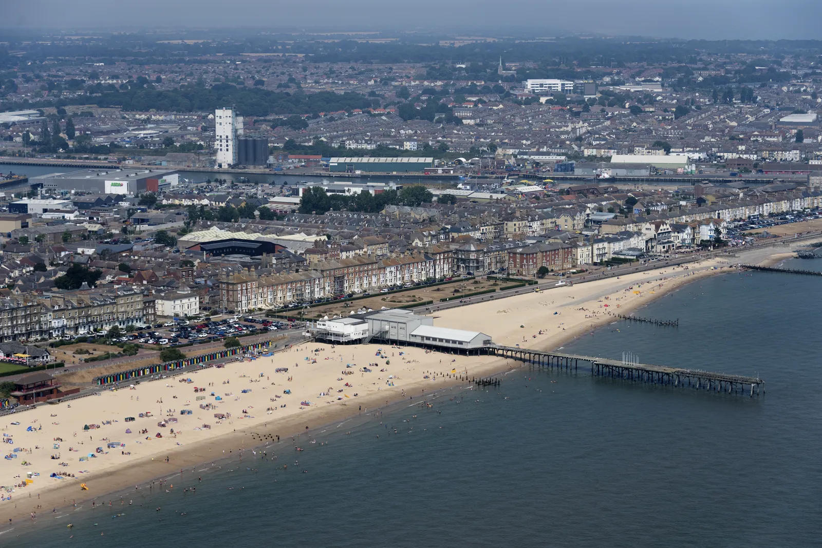
Lowestoft is in the area of East Suffolk Council. It is Suffolk's north-eastern coastal town around the official North Lowestoft Conservation Area and Lake Lothing, quite unlike Beccles, Felixstowe or Woodbridge. The adopted East Suffolk Council Waveney Local Plan applies here. The North Lowestoft Conservation Area and the Lake Lothing are the official features that shape topographical survey work here. Suffolk County Council is the Lead Local Flood Authority. There is no confirmed successor council for East Suffolk.
In Lowestoft, including around the North Lowestoft Conservation Area and at the Lake Lothing, the same adopted local plan policies apply. East Suffolk Council uses topographical information to assess proposals around official features, including the North Lowestoft Conservation Area and the Lake Lothing. Policy WLP8.34 (Biodiversity and Geodiversity) of the East Suffolk Council Waveney Local Plan, adopted on 20 March 2019, supports development where it can be demonstrated that it maintains, restores or enhances the existing green infrastructure network and positively contributes towards biodiversity through the creation of new green infrastructure and improvement to linkages between habitats, having regard to the Waveney Green Infrastructure Strategy (2015). Development proposals should be accompanied by sufficient information to assess the effects of development on protected sites, species, biodiversity or geology, together with any proposed prevention, mitigation or compensation measures. The policy does not set a higher than statutory biodiversity net gain percentage. East Suffolk Council applies the statutory 10 per cent minimum. Confirm the current validation requirements with the council before submitting.
Local plan: East Suffolk Council Suffolk Coastal Local Plan and East Suffolk Council Waveney Local Plan (adopted)
SCLP10.1: Biodiversity and Geodiversity
Policy SCLP10.1 (Biodiversity and Geodiversity) of the East Suffolk Council Suffolk Coastal Local Plan, adopted on 23 September 2020, requires development to maintain, restore or enhance biodiversity and geodiversity and to provide a biodiversity net gain that is proportionate to the scale and nature of the proposal. Development resulting in the loss or deterioration of irreplaceable habitats, including ancient woodland and veteran trees, will not be permitted unless there are wholly exceptional reasons and a suitable compensation strategy exists. The policy does not set a higher than statutory biodiversity net gain percentage. East Suffolk Council applies the statutory 10 per cent minimum.
SCLP9.5: Flood Risk
Policy SCLP9.5 (Flood Risk) of the East Suffolk Council Suffolk Coastal Local Plan, adopted on 23 September 2020, provides that the Strategic Flood Risk Assessment should be the starting point in assessing whether a proposal is at risk from flooding. Proposals for new development, or the intensification of existing development, will not be permitted in areas at high risk from flooding, namely Flood Zones 2 and 3, unless the applicant has satisfied the safety requirements in national planning practice guidance, including the sequential test, where needed the exception test, and a site-specific flood risk assessment that addresses the characteristics of flooding and an appropriate range of flood event scenarios, taking climate change into account. Developments should be safe, resilient and should not increase flood risk elsewhere, and are encouraged to include natural flood management measures.
WLP8.34: Biodiversity and Geodiversity
Policy WLP8.34 (Biodiversity and Geodiversity) of the East Suffolk Council Waveney Local Plan, adopted on 20 March 2019, supports development where it can be demonstrated that it maintains, restores or enhances the existing green infrastructure network and positively contributes towards biodiversity through the creation of new green infrastructure and improvement to linkages between habitats, having regard to the Waveney Green Infrastructure Strategy (2015). Development proposals should be accompanied by sufficient information to assess the effects of development on protected sites, species, biodiversity or geology, together with any proposed prevention, mitigation or compensation measures. The policy does not set a higher than statutory biodiversity net gain percentage. East Suffolk Council applies the statutory 10 per cent minimum.
WLP8.24: Flood Risk
Policy WLP8.24 (Flood Risk) of the East Suffolk Council Waveney Local Plan, adopted on 20 March 2019, requires development proposals to consider flooding from all sources and take into account climate change. Proposals at risk of flooding should only be granted planning permission if it can be demonstrated that there are no available sites suitable for the proposed use in areas with a lower probability of flooding, that the development provides sustainability benefits which outweigh flood risk, and that a site-specific flood risk assessment demonstrates that the flood risk can be satisfactorily mitigated over the lifetime of the development. New residential development on sites not allocated in the Local Plan or a Neighbourhood Plan will not be permitted on sites at risk from flooding. Developments should use sustainable drainage systems to drain surface water.
General guidance for topographical survey, not formal advice for your site.
East Suffolk Council. Suffolk County Council is the Lead Local Flood Authority. There is no confirmed successor council for East Suffolk.
A topographical survey in Lowestoft is often needed to record levels, trees and built form in the North Lowestoft Conservation Area or at the Lake Lothing before a planning application is drawn up. Confirm the current validation requirements with the council.
Accurate levels and feature locations help show how a proposal relates to the North Lowestoft Conservation Area and the Lake Lothing, including trees, water and built form. Confirm the current validation requirements with the council.