Featured partner
Recommended for Potters Bar

ROAVR Group
Tree, ecology, flood risk and topographical surveys for planning applications.
4.9 Google rating
Get a quote
Local experts.
Featured partner
Recommended for Potters Bar
Tree, ecology, flood risk and topographical surveys for planning applications.
4.9 Google rating
Local experts.
Land and measured-building survey practice with a London office in Crystal Palace.
Land and building surveying company with offices in Surrey (Dunsfold Park), London,…
Surveying and construction consultancy with its head office at Merrow Business Park in…
Measured building and land surveyors trading from 111 Gosterwood Street in Deptford, in…
A topographical survey in Potters Bar is often needed to record levels, trees and boundaries in the Potters Bar, Darkes Lane (West) Conservation Area or the Potters Bar, The Royds Conservation Area. Hertsmere Borough Council will use that survey when it considers design, landscaping and drainage under the Core Strategy and the SADM Policies Plan. Darkes Lane (West) and The Royds both have a consistent building line and tree cover that should be plotted accurately. Confirm the current validation requirements with the council before submitting.
Local planning authority: Hertsmere Borough Council
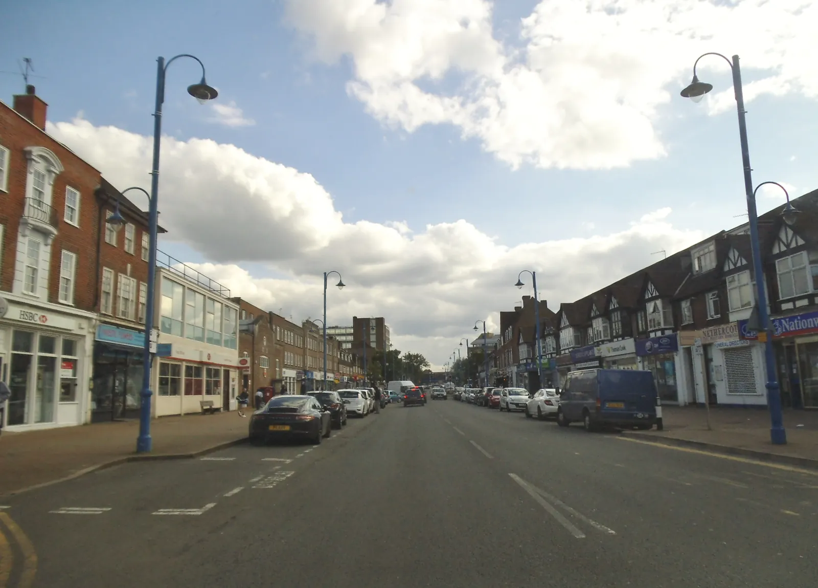
Potters Bar is Hertsmere Borough Council’s town immediately north of the M25. The Potters Bar, Darkes Lane (West) Conservation Area and the Potters Bar, The Royds Conservation Area are the official local designations that distinguish it from Borehamwood and Bushey. Applications should respond to those areas, to Hertsmere’s adopted plan, and to the statutory biodiversity net gain duty.
In Potters Bar, including around Potters Bar, Darkes Lane (West) Conservation Area and Potters Bar, The Royds Conservation Area, the same adopted local plan policies apply. Hertsmere Borough Council will expect drawings that rely on site levels, including flood risk assessments under Policy SADM14 of the SADM Policies Plan, adopted on 23 November 2016, and tree or landscape work under Policy SADM12. A topographical survey is often the evidence that ties those assessments together. Confirm the current validation requirements with the council before submitting.
Local plan: Hertsmere Local Plan 2012-2027 (Core Strategy, Site Allocations and Development Management Policies Plan, and Elstree Way Corridor Area Action Plan) (The Core Strategy was adopted on 16 January 2013, the Elstree Way Corridor Area Action Plan on 8 July 2015, and the Site Allocations and Development Management Policies Plan on 23 November 2016. These remain the adopted development plan as of 13 November 2026.)
CS12: The Enhancement of the Natural Environment
Requires all development proposals to conserve and enhance the natural environment of the borough, including biodiversity, habitats, protected trees, landscape character, and sites of ecological and geological value, and to provide opportunities for habitat creation and enhancement throughout the life of a development.
General guidance for topographical survey, not formal advice for your site.
Hertsmere Borough Council is the local planning authority. Hertfordshire County Council is the Lead Local Flood Authority. There is no confirmed 2027 successor council.
When a planning application in Potters Bar could affect trees, habitats, heritage, flood risk or existing buildings around Potters Bar, Darkes Lane (West) Conservation Area and Potters Bar, The Royds Conservation Area. Confirm the current validation requirements with the council.
They often do, because Potters Bar, Darkes Lane (West) Conservation Area and Potters Bar, The Royds Conservation Area are official local features that shape how Hertsmere Borough Council considers applications. Confirm the current validation requirements with the council.