Featured partner
Recommended for Reading

ROAVR Group
Tree, ecology, flood risk and topographical surveys for planning applications.
4.9 Google rating
Get a quote
Local experts.
Featured partner
Recommended for Reading
Tree, ecology, flood risk and topographical surveys for planning applications.
4.9 Google rating
Local experts.
Land surveying practice whose own site gives a Maidenhead office at 12 Golden Ball Lane,…
Measured survey company founded in Cranleigh and now based in Camberley, with a second…
Land survey and site engineering practice based in Chesham, north-west of the M25.
Surveying and construction consultancy with its head office at Merrow Business Park in…
A topographical survey in Reading is often needed to record levels and site features in the Market Place Conservation Area or around the St Mary's Butts/Castle Street Conservation Area before a planning application is drawn up. Reading Borough Council is the local planning authority. Accurate levels matter in the Market Place Conservation Area and around the St Mary's Butts/Castle Street Conservation Area, including on sites that may sit in areas of flood risk or where trees and historic buildings need to be recorded. A topographical survey is the usual way to record existing buildings, trees, boundaries and ground levels. It is Berkshire’s largest commercial centre, where the Thames and the Kennet meet, quite unlike the royal riverside town of Windsor or the Kennet valley towns around Newbury. Confirm the current validation requirements with the council before submitting.
Local planning authority: Reading Borough Council
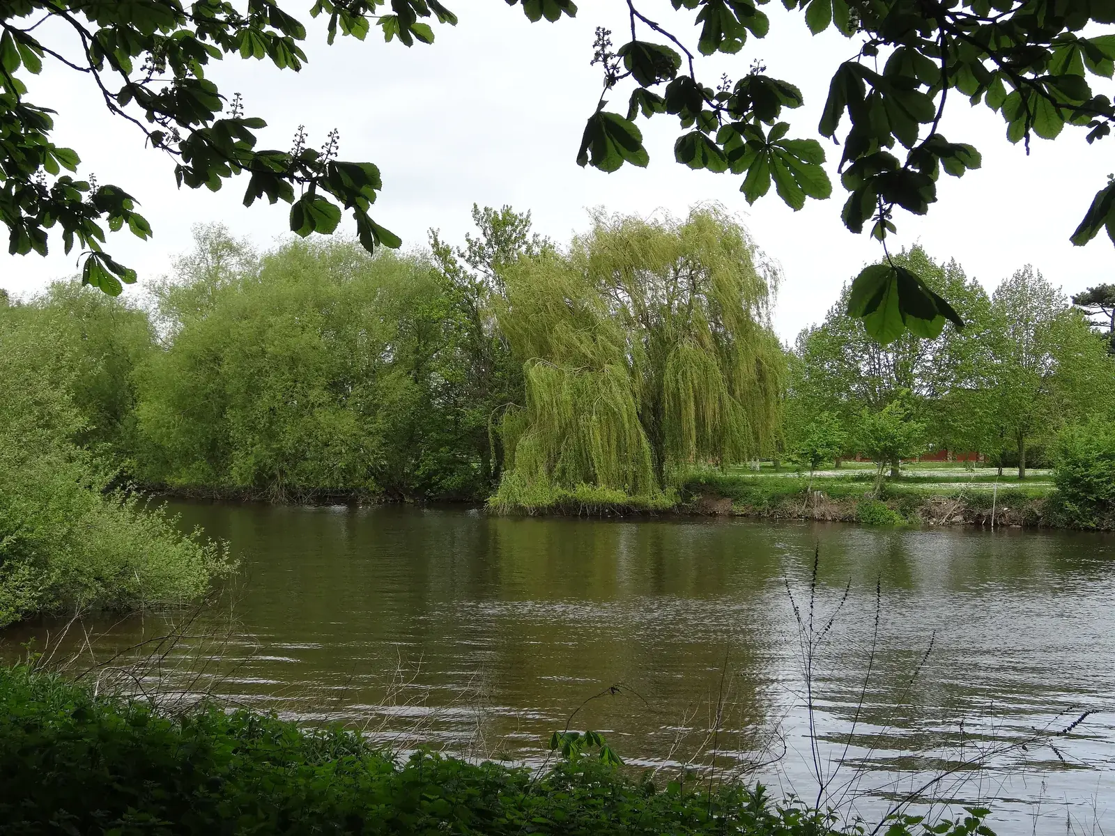
Reading is in the area of Reading Borough Council. It is Berkshire’s largest commercial centre, where the Thames and the Kennet meet, quite unlike the royal riverside town of Windsor or the Kennet valley towns around Newbury. The Market Place Conservation Area and the St Mary's Butts/Castle Street Conservation Area are the official features that shape topographical survey work here. Reading Borough Council is also the Lead Local Flood Authority. There is no confirmed 2027 successor council for Berkshire.
In Reading, including around the Market Place Conservation Area and around the St Mary's Butts/Castle Street Conservation Area, the same adopted local plan policies apply. Reading Borough Council assesses site levels, flood risk and trees under Policy EN18 and Policy EN14 of the Reading Borough Local Plan. A topographical survey is the usual way to record existing buildings, trees, boundaries and ground levels before a planning application is drawn up. Confirm the current validation requirements with the council before submitting.
Local plan: Reading Borough Local Plan (The Reading Borough Local Plan, adopted on 4 November 2019, is the statutory development plan as of 15 November 2026. A Partial Update is under examination and had not been adopted as of that date.)
EN12: Biodiversity and the Green Network
Policy EN12 (Biodiversity and the Green Network) says the identified Green Network shall be maintained, protected, consolidated, extended and enhanced, and that permission will not be granted for development that negatively affects sites with identified interest or fragments the overall network. On all sites, development should not result in a net loss of biodiversity and geodiversity, and should provide a net gain for biodiversity wherever possible, protect and wherever possible enhance features of biodiversity interest, and provide new tree planting, wildlife-friendly landscaping and ecological enhancements wherever practicable. “Net gain wherever possible” is not a higher than statutory percentage standard.
General guidance for topographical survey, not formal advice for your site.
Reading Borough Council. Reading Borough Council is also the Lead Local Flood Authority. There is no confirmed 2027 successor council for Berkshire.
A topographical survey in Reading is often needed to record levels and site features in the Market Place Conservation Area or around the St Mary's Butts/Castle Street Conservation Area before a planning application is drawn up. Confirm the current validation requirements with the council.
Accurate levels matter in the Market Place Conservation Area and around the St Mary's Butts/Castle Street Conservation Area, including on sites that may sit in areas of flood risk or where historic buildings and trees need to be recorded. Confirm the current validation requirements with the council.
No other published town guides for this survey in the council area yet.