Featured partner
Recommended for Shepherd's Bush

ROAVR Group
Tree, ecology, flood risk and topographical surveys for planning applications.
4.9 Google rating
Get a quote
Local experts.
Featured partner
Recommended for Shepherd's Bush
Tree, ecology, flood risk and topographical surveys for planning applications.
4.9 Google rating
Local experts.
Land and building surveying company with offices in Surrey (Dunsfold Park), London,…
Land survey practice based in Harrow, West London.
Measured building and land surveyors trading from 111 Gosterwood Street in Deptford, in…
Land and measured-building survey practice with a London office in Crystal Palace.
An accurate topographical survey of levels, trees, buildings and boundaries is the usual base plan for a BS 5837 tree survey and for drainage design in Shepherd's Bush. Around Shepherd's Bush Green and in the Shepherd's Bush Conservation Area, it shows how a proposal sits on tight plots facing the Green, where basement and courtyard levels relate to the street, and how overland flow would move in a storm. The London Borough of Hammersmith and Fulham expects existing trees to be plotted and, where possible, retained, and it requires surface water flood risk to be understood from the outset. Flood risk assessments and SuDS schemes depend on reliable levels and the position of existing drains, trees and soft landscape.
Local planning authority: London Borough of Hammersmith and Fulham
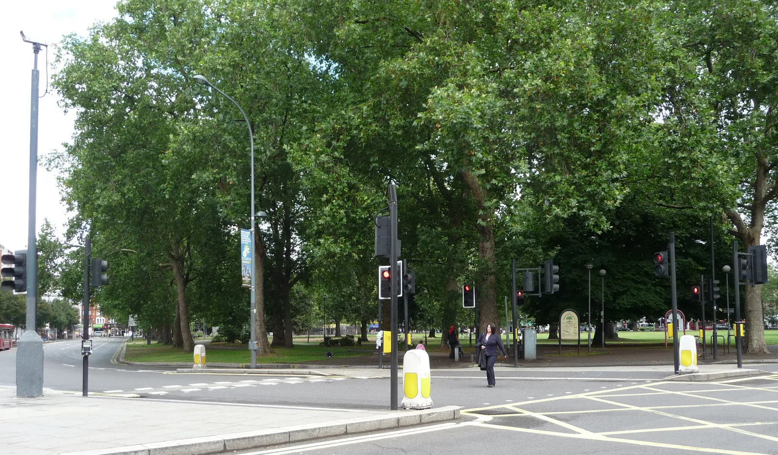
Sites around Shepherd's Bush Green and in the Shepherd's Bush Conservation Area need accurate levels and tree positions. A topographical survey supports Policy OS5 and the flood-risk work required under Policies CC3 and CC4, including surface water flood risk.
The London Borough of Hammersmith and Fulham relies on accurate site information to apply Policy OS5 on trees and greening and Policies CC3 and CC4 on flood risk and drainage. Confirm the current local validation requirements with the council before submitting.
Local plan: Hammersmith and Fulham Local Plan (The Hammersmith and Fulham Local Plan was adopted on 28 February 2018 and remains the adopted local plan. A Regulation 18 consultation on a replacement plan took place in 2025 and is not treated as adopted. The London Plan, published on 2 March 2021, also forms part of the development plan. There is no 2027 successor council for this borough.)
OS5: Greening the Borough
Policy OS5 of the Hammersmith and Fulham Local Plan, adopted on 28 February 2018, seeks to enhance biodiversity and green infrastructure by maximising gardens, garden space and soft landscaping, seeking green or brown roofs and other planting as part of new development, protecting gardens from new development, seeking to prevent the removal or mutilation of protected trees, seeking retention of existing trees and provision of new trees on development sites, adding to the greening of streets and the public realm, and making Tree Preservation Orders where justified in the interests of amenity. Supporting text notes that trees and soft landscaping also help to reduce rainfall run-off and the risk of surface water flooding.
OS4: Nature Conservation
Policy OS4 protects nature conservation areas and green corridors identified on the Policies Map from development likely to cause demonstrable harm to their ecological value, unless the development would release a site needed to realise a qualitative gain for the local community and there is no net loss of native species and no net loss of habitat, or replacement nature conservation interest of equal or greater value is provided in the locality. Outside those areas, proposals should enhance nature conservation interest through initiatives such as new green infrastructure and habitats, tree planting and brown and green roofs, and protect any significant interest on the site and any nearby nature conservation area, appropriate to the scale and nature of the development. The policy does not set a biodiversity net gain percentage above the statutory 10 per cent minimum.
CC3: Minimising Flood Risk and Reducing Water Use
Policy CC3 requires developments to reduce the use of water and minimise current and future flood risk. A site-specific flood risk assessment is required for all proposals in Flood Zones 2 and 3, all new development over 1 hectare in Flood Zone 1, all new development in surface water flooding hotspots identified in the council's Surface Water Management Plan, and all new development with a subterranean element in areas identified as being at risk from elevated groundwater levels. The FRA must address the National Planning Policy Framework, include an Exception Test where applicable, assess flooding from all relevant sources, and integrate appropriate flood-proofing. New self-contained basement flats will not be permitted in Flood Zone 3 where there is a risk of rapid inundation, or in surface water hotspots with a significant or higher flood hazard, unless a satisfactory means of escape can be provided.
CC4: Minimising Surface Water Run-off with Sustainable Drainage Systems
Policy CC4 requires all proposals for new development to manage surface water run-off as close to its source as possible and on the surface where practicable, in line with the London Plan drainage hierarchy. All major developments must implement Sustainable Drainage Systems to enable a reduction in peak run-off to greenfield rates for storms up to the 1 in 100 year event plus climate change allowance, and must provide a sustainable drainage strategy. All other developments must maximise attenuation, achieving greenfield run-off rates where possible, particularly in surface water flooding hotspots or where impermeable area increases. Drainage measures should also help deliver biodiversity, amenity and water-quality objectives. All flat roofs in new developments should be living roofs to help reduce run-off, and SuDS must be retained and maintained for the lifetime of the development.
General guidance for topographical survey, not formal advice for your site.
The London Borough of Hammersmith and Fulham. The London Plan also forms part of the development plan. The borough is the Lead Local Flood Authority. There is no 2027 successor council for this borough.
It supports the tree protection expected under Policy OS5 and the flood risk and drainage work required by Policies CC3 and CC4, especially on plots around Shepherd's Bush Green and in the Shepherd's Bush Conservation Area.
Yes. The London Plan, published on 2 March 2021, forms part of the development plan. Policy G7 and Policies SI12 and SI13 are the London Plan policies most often read alongside a site survey.