Featured partner
Recommended for Swanley

ROAVR Group
Tree, ecology, flood risk and topographical surveys for planning applications.
4.9 Google rating
Get a quote
Local experts.
Featured partner
Recommended for Swanley
Tree, ecology, flood risk and topographical surveys for planning applications.
4.9 Google rating
Local experts.
Measured building and land surveyors trading from 111 Gosterwood Street in Deptford, in…
Land and measured-building survey practice with a London office in Crystal Palace.
Land and building surveying company with offices in Surrey (Dunsfold Park), London,…
Surveying and construction consultancy with its head office at Merrow Business Park in…
A topographical survey in Swanley should pick up levels and features in the Swanley Village Conservation Area and on the Metropolitan Green Belt edge around the town. Accurate levels matter for surface water drainage as well as for layout. The local planning authority is Sevenoaks District Council. Policy SP2 of the Core Strategy, adopted in February 2011, and national flood policy both depend on reliable site levels where drainage or flood risk is an issue on or next to the site.
Local planning authority: Sevenoaks District Council
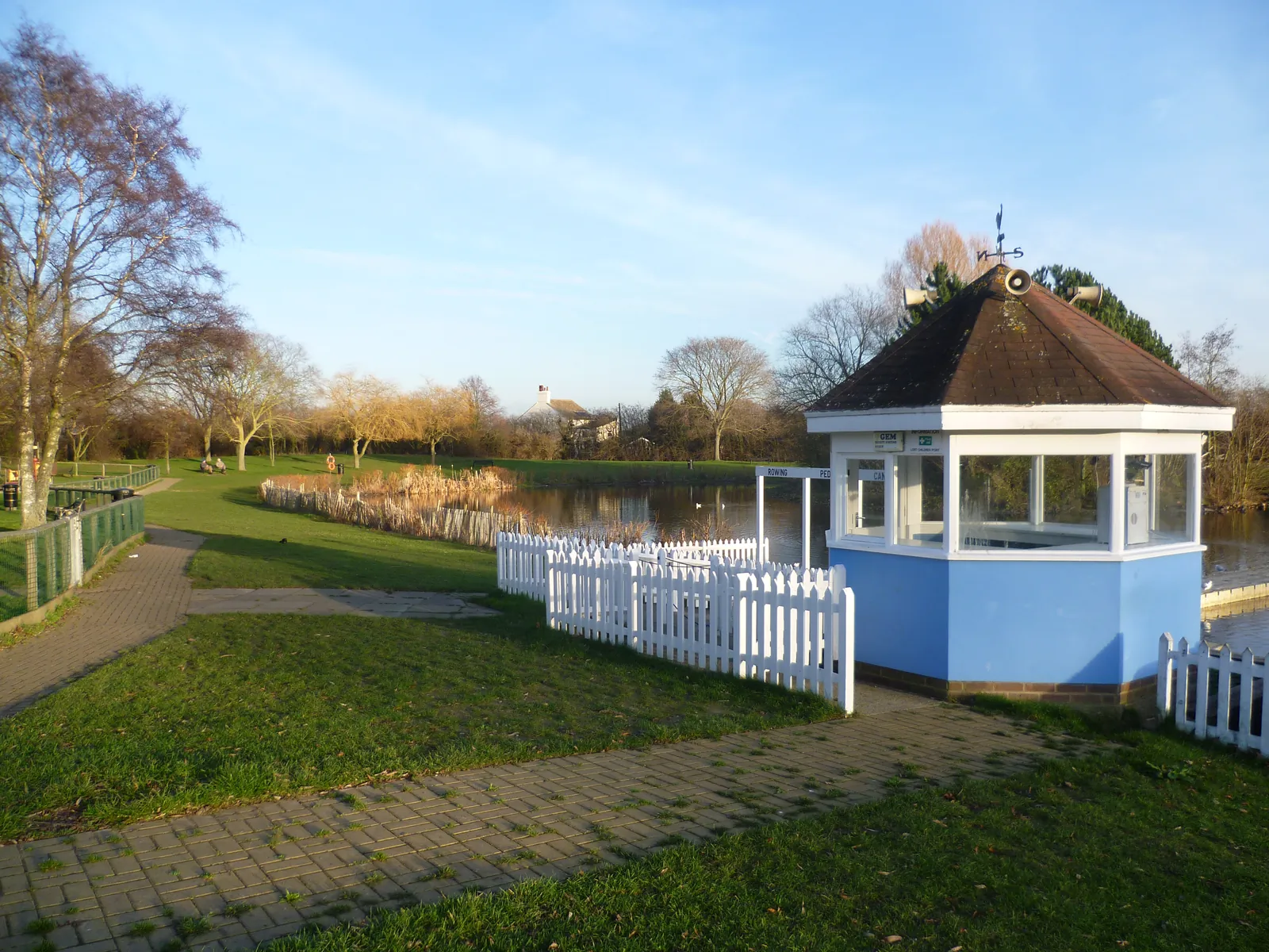
The Swanley Village Conservation Area is a historic hamlet just north-east of the town, where changes in level between the village, the Green Belt and the built-up area can be significant. Trees in the conservation area and on the Metropolitan Green Belt edge may also need to be shown where they constrain the layout. The survey should be coordinated with any flood risk assessment or tree survey.
Sevenoaks District Council will expect drawings that rely on site levels, including flood risk and drainage work under Policy SP2 of the Core Strategy, adopted in February 2011, and the National Planning Policy Framework, and tree or landscape work under Policy EN1 of the Allocations and Development Management Plan, adopted on 17 February 2015. A topographical survey is often the evidence that ties those assessments together. Confirm the current validation requirements with the council before submitting.
Local plan: Sevenoaks Core Strategy and Allocations and Development Management Plan (The Core Strategy was adopted in February 2011 and the Allocations and Development Management Plan on 17 February 2015. These remain the adopted development plan as of 15 November 2026.)
SP11: Biodiversity
The biodiversity of the district will be conserved and opportunities sought for enhancement to ensure no net loss of biodiversity. Sites designated for biodiversity value will be protected, with the highest protection given to nationally designated SSSIs, followed by Local Wildlife Sites and sites of local importance.
General guidance for topographical survey, not formal advice for your site.
Sevenoaks District Council is the local planning authority.
A topographical survey is likely where flood risk, trees or a change in levels would affect the layout, including in the Swanley Village Conservation Area and on the Metropolitan Green Belt edge. Confirm the current validation requirements with the council.
Yes, where surface water or ordinary watercourses could affect the Swanley Village Conservation Area or the Metropolitan Green Belt edge. Policy SP2 and national flood policy depend on accurate levels.