Featured partner
Recommended for Dartford

ROAVR Group
Tree, ecology, flood risk and topographical surveys for planning applications.
4.9 Google rating
Get a quote
Local experts.
Featured partner
Recommended for Dartford
Tree, ecology, flood risk and topographical surveys for planning applications.
4.9 Google rating
Local experts.
London arboricultural consultancy with a trading office at Rathbone Place, Fitzrovia.
Arboricultural and ecological consultancy trading as Tim Moya Associates from 2 The…
Environmental consultancy founded in 2004, with its head office on the Surrey Research…
Farnham-based tree consultancy led by Alex Needs, a Chartered Arboriculturist and…
Trees in the Dartford Town Centre Conservation Area, along the River Darent, and on the Metropolitan Green Belt edge are typical starting points for a tree survey in Dartford. A planning application should record trees on and next to the site, usually to BS5837. The local planning authority is Dartford Borough Council. Policy M14 of the Dartford Plan to 2037, adopted on 22 April 2024, requires existing trees, hedgerows and landscape features to be retained wherever possible, with appropriate native replacement where removal is justified.
Local planning authority: Dartford Borough Council
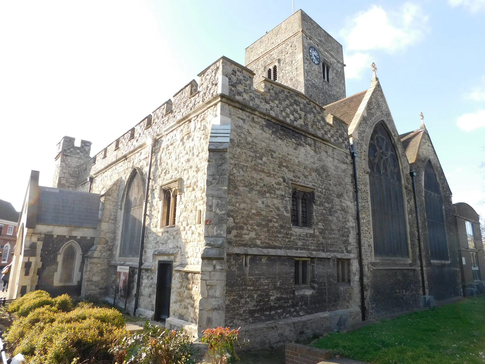
The Dartford Town Centre Conservation Area covers most of the historic commercial centre. The River Darent and, to the north, the River Thames provide the wider landscape setting, with Metropolitan Green Belt wrapping the southern and western edges of the town. Policy M4 also expects riverside development to explore improvements to the riparian landscape.
Dartford Borough Council assesses tree and landscape issues under Policy M14 of the Dartford Plan 2024 to 2037, adopted on 22 April 2024, together with Policy M4 on riverside design where a site has a frontage to the River Darent or the River Thames. Confirm the current validation requirements with the council before submitting.
Local plan: The Dartford Plan 2024 to 2037 (Adopted on 22 April 2024 and still in force as of 13 November 2026.)
M14: Biodiversity and Landscape
Resists development on sites designated for biodiversity unless it is clearly demonstrated that biodiversity value will not be adversely affected. All applicable developments must deliver at least 10 per cent biodiversity net gain, measured with Defra's latest metric, with habitats secured for at least 30 years. Residential development within 6 km of the North Kent Special Protection Areas and Ramsar sites, and larger schemes of more than 15 dwellings between 6 km and 10 km, is subject to Habitats Regulations assessment and mitigation. Existing trees, hedgerows and landscape features should be retained wherever possible, with native replacement where removal is justified.
General guidance for tree survey (bs5837), not formal advice for your site.
Dartford Borough Council is the local planning authority.
Policy M14 applies where trees or landscaping could be affected. A BS5837 survey is the usual way to record trees on and next to the site. Confirm the current validation requirements with the council.
They often do. The Dartford Town Centre Conservation Area, the River Darent corridor and the Metropolitan Green Belt edge all contain trees that Policy M14 seeks to retain. Policy M4 also applies on a riverside frontage.
No other published town guides for this survey in the council area yet.