Featured partner
Recommended for Dartford

ROAVR Group
Tree, ecology, flood risk and topographical surveys for planning applications.
4.9 Google rating
Get a quote
Local experts.
Featured partner
Recommended for Dartford
Tree, ecology, flood risk and topographical surveys for planning applications.
4.9 Google rating
Local experts.
Environmental and ecology consultancy with a London office at Holyrood Street, near…
London environmental consultancy based at Marshalsea Road, Southwark, formerly trading…
London-based ecological consultancy in Muswell Hill.
Environmental consultancy founded in 2004, with its head office on the Surrey Research…
A preliminary ecological appraisal in Dartford should start with the River Darent, the River Thames, the Dartford Town Centre Conservation Area and any likely effects on the North Kent Special Protection Areas. The local planning authority is Dartford Borough Council. Policy M14 of the Dartford Plan to 2037, adopted on 22 April 2024, resists harm to designated sites, priority habitats and priority species, and requires Habitats Regulations assessment for relevant residential development. The appraisal should also note any Metropolitan Green Belt edge that forms part of the site's ecological setting.
Local planning authority: Dartford Borough Council
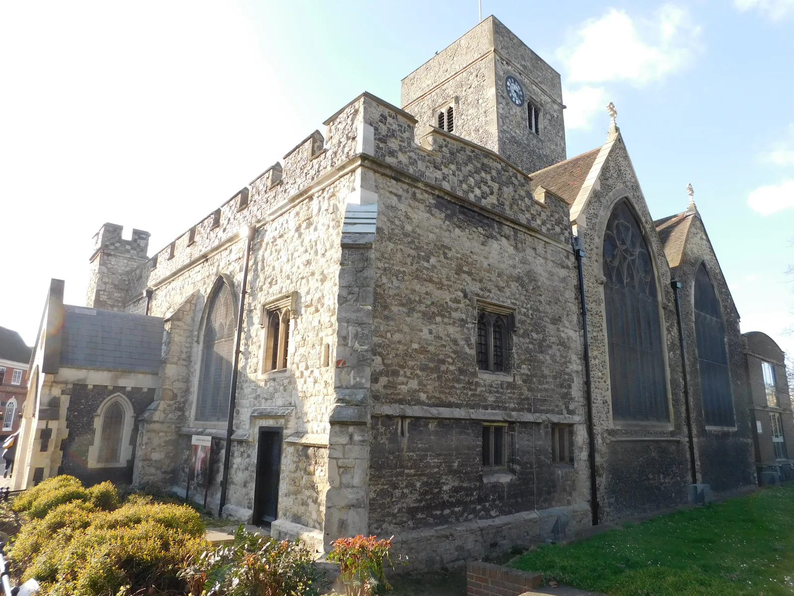
The River Darent runs through Central Dartford, and the River Thames and its tidal marshes bound the north of the borough. Metropolitan Green Belt wraps the southern edge. The appraisal should identify whether Habitats Regulations assessment, further species surveys or a biodiversity net gain metric are needed.
Dartford Borough Council assesses effects on habitats and species under Policy M14 of the Dartford Plan 2024 to 2037, adopted on 22 April 2024, together with Policy M4 where a site has a riverside frontage. Confirm the current validation requirements with the council before submitting.
Local plan: The Dartford Plan 2024 to 2037 (Adopted on 22 April 2024 and still in force as of 13 November 2026.)
M14: Biodiversity and Landscape
Resists development on sites designated for biodiversity unless it is clearly demonstrated that biodiversity value will not be adversely affected. All applicable developments must deliver at least 10 per cent biodiversity net gain, measured with Defra's latest metric, with habitats secured for at least 30 years. Residential development within 6 km of the North Kent Special Protection Areas and Ramsar sites, and larger schemes of more than 15 dwellings between 6 km and 10 km, is subject to Habitats Regulations assessment and mitigation. Existing trees, hedgerows and landscape features should be retained wherever possible, with native replacement where removal is justified.
General guidance for preliminary ecological appraisal (pea), not formal advice for your site.
Dartford Borough Council is the local planning authority.
Policy M14 applies where habitats, protected species, designated sites or the North Kent Special Protection Areas could be affected. A PEA is the usual first step. Confirm the current validation requirements with the council.
Yes, where the site could affect the River Darent or River Thames corridors, or where residential development falls within the 6 km or 6-10 km zones of the North Kent Special Protection Areas under Policy M14. A PEA should record the habitats actually present and flag any Habitats Regulations work.
No other published town guides for this survey in the council area yet.