Featured partner
Recommended for Farnham

ROAVR Group
Tree, ecology, flood risk and topographical surveys for planning applications.
4.9 Google rating
Get a quote
Local experts.
Featured partner
Recommended for Farnham
Tree, ecology, flood risk and topographical surveys for planning applications.
4.9 Google rating
Local experts.
Farnham-based tree consultancy led by Alex Needs, a Chartered Arboriculturist and…
Multi-disciplinary practice founded in 1985, offering arboriculture, ecology, landscape…
Independent arboricultural consultancy based near Fleet, led by Keiron Hart, who is…
Environmental consultancy founded in 2004, with its head office on the Surrey Research…
Tree cover helps to define the Farnham/Aldershot Strategic Gap, which Policy DM18 and Policy RE3 protect from coalescence, and it forms part of the setting of Farnham Park, the Suitable Alternative Natural Greenspace used under Policy NE3 of the Thames Basin Heaths SPA. A BS5837 tree survey for a Farnham planning application should record trees on or next to the site, their quality and their root protection areas, so a layout can be designed around them. The local planning authority is Waverley Borough Council. Policy DM11 of Local Plan Part 2, adopted on 21 March 2023, requires woodland, important trees, groups of trees and hedgerows to be retained, protected during construction, and given adequate space. In the Metropolitan Green Belt around the town, existing tree belts often mark the edge of the built-up area.
Local planning authority: Waverley Borough Council
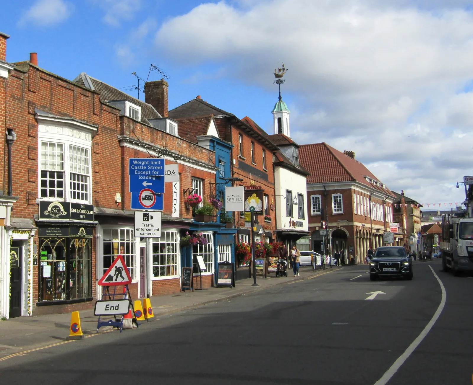
Farnham combines a historic centre with wooded edges and a river corridor. Trees along the River Wey, in Farnham Park and in the Farnham/Aldershot Strategic Gap are part of how the town keeps a separate identity from Aldershot. South of the town, wooded heath around Frensham Commons forms part of the Wealden Heaths, so tree work and habitat surveys often have to be considered together. Much of the land outside the built-up area, including parts of the Strategic Gap, is Metropolitan Green Belt. The Folkestone Formation sandstone that underlies much of the town can also influence how roots and drainage are interpreted on site.
Waverley Borough Council decides applications against Policy DM11 (Trees, Woodland, Hedgerows and Landscaping) of Local Plan Part 2, adopted 21 March 2023. DM11 requires woodland, important trees, groups of trees and hedgerows to be retained and protected during all phases of development, with adequate separation for long-term growth and a high-quality landscape scheme including long-term management. Loss or deterioration of irreplaceable habitats, including ancient woodland and ancient or veteran trees, will not be permitted unless there are wholly exceptional reasons and a suitable compensation strategy. Where a site is in or next to the Farnham/Aldershot Strategic Gap, Policies RE3 and DM18 also apply. The council's local validation checklist (approved November 2022, last updated July 2023) requires a tree survey and arboricultural impact assessment where demolition, building or engineering operations may affect trees on or next to the site, and asks householder applications to show all trees within 10 metres of the development. Applicants should confirm the current list with the council before submitting.
Local plan: Waverley Borough Local Plan Part 1: Strategic Policies and Sites (2018) and Local Plan Part 2: Site Allocations and Development Management Policies (2023) (Adopted. Local Plan Part 1 was adopted on 20 February 2018. Local Plan Part 2 was adopted on 21 March 2023. Both remain the statutory development plan until replaced.)
DM1: Environmental Implications of Development
Requires development to avoid significant harm to amenity, including an increase in flood risk, and to avoid harm to existing environmental assets. It requires the mitigation hierarchy to be followed and a minimum biodiversity net gain of 10 per cent as required by the Environment Act 2021, calculated with the current national Biodiversity Metric.
DM18: Farnham/Aldershot Strategic Gap
Provides the detailed policy for the strategically important land separating Farnham from Aldershot, following Local Plan Part 1 Policy RE3 section iii, to prevent coalescence and to support landscape and wildlife enhancement in the gap.
CC4: Flood Risk Management
Requires development to be located, designed and laid out so that it is safe, flood risk is minimised and is not increased elsewhere, and residual risks are safely managed. In locations at risk of flooding, permission depends on passing sequential and, where needed, exception tests, a sequential approach to locating development, and not constraining the natural function of the flood plain. SuDS are required on major developments. A site-specific flood risk assessment is required for sites within or adjacent to areas at risk of surface water flooding identified in the SFRA, with no increase in the volume or rate of runoff leaving the site.
GOD12: Godalming and Farncombe Skyline
A policy of the Godalming and Farncombe Neighbourhood Plan, made in August 2019, which adds a skyline test on the Godalming Hillsides in addition to Local Plan Part 1 Policy RE3.
FNP11: Preventing coalescence of settlements
A policy of the Farnham Neighbourhood Plan (made 28 July 2017 and updated when the plan was made again in April 2020) which seeks to prevent the coalescence of settlements within the neighbourhood plan area. Local Plan Part 2 states that Policy DM18 should be used in conjunction with Local Plan Part 1 Policy RE3 section iii and with FNP11.
NE3: Thames Basin Heaths Special Protection Area
No net new residential development is permitted within 400 m of the Thames Basin Heaths SPA. Between 400 m and 5 km, new residential development that is likely to have a significant adverse effect must provide SANG or a bespoke solution, and a SAMM contribution, agreed with Natural England. Large-scale development of 50 dwellings or more between 5 km and 7 km is assessed individually.
DM11: Trees, Woodland, Hedgerows and Landscaping
Requires development to retain woodland, important trees, groups of trees and hedgerows; protect them during all phases of development; provide adequate separation for long-term retention and growth; use suitable, preferably native, planting; and incorporate a high-quality landscape scheme with long-term management. Loss or deterioration of irreplaceable habitats, including ancient woodland and ancient or veteran trees, will not be permitted unless there are wholly exceptional reasons and a suitable compensation strategy.
NE1: Biodiversity and Geological Conservation
Seeks to conserve and enhance biodiversity. Development is permitted where it retains, protects and enhances features of biodiversity and geological interest and avoids, or if unavoidable mitigates, adverse impacts. Particular regard is had to SPAs, SACs and Ramsar sites, SSSIs, and local sites including ancient woodland. Net new residential development within 400 m of Thursley, Hankley and Frensham Commons (Wealden Heaths Phase I) SPA and Wealden Heaths Phase II SPA requires a project-level Habitats Regulations Assessment.
RE3: Landscape Character
Protects the landscape character of the borough, including the Surrey Hills National Landscape (formerly the Surrey Hills AONB). Development should conserve or enhance landscape character, and proposals that would harm the Surrey Hills or its setting will be resisted.
General guidance for tree survey (bs5837), not formal advice for your site.
Waverley Borough Council. From 1 April 2027 planning powers pass to the new West Surrey unitary council under local government reorganisation.
The July 2023 validation checklist requires a tree survey and arboricultural impact assessment where demolition, building or engineering operations may affect trees on or next to the site, and householder applications should show trees within 10 metres. Policy DM11 then tests whether important trees are retained and protected.
Yes. In addition to Policy DM11, Policies RE3 and DM18 seek to prevent coalescence and to enhance the landscape and wildlife of the gap, so tree cover can be part of how that designation is judged.
Farnham Park is Suitable Alternative Natural Greenspace for the Thames Basin Heaths SPA, and Frensham Commons to the south form part of a Wealden Heaths SPA, so work to trees and habitats may also need ecological assessment under Policies NE1 and NE3.