Featured partner
Recommended for Redhill

ROAVR Group
Tree, ecology, flood risk and topographical surveys for planning applications.
4.9 Google rating
Get a quote
Local experts.
Featured partner
Recommended for Redhill
Tree, ecology, flood risk and topographical surveys for planning applications.
4.9 Google rating
Local experts.
Environmental consultancy founded in 2004, with its head office on the Surrey Research…
Multi-disciplinary practice founded in 1985, offering arboriculture, ecology, landscape…
Farnham-based tree consultancy led by Alex Needs, a Chartered Arboriculturist and…
Independent arboricultural consultancy based near Fleet, led by Keiron Hart, who is…
Trees around Temple Wood, Serpentine Wood and along Redhill Brook often sit in a drainage as well as a landscape setting, so a tree survey for a planning application in Redhill should record trees on and next to the site, usually to BS5837, with their relationship to that wet corridor in mind. The local planning authority is Reigate and Banstead Borough Council. Policy NHE3 of the Development Management Plan, adopted on 26 September 2019, requires an assessment of existing trees and landscape features, including their suitability for retention and effects on habitats beyond the site.
Local planning authority: Reigate and Banstead Borough Council
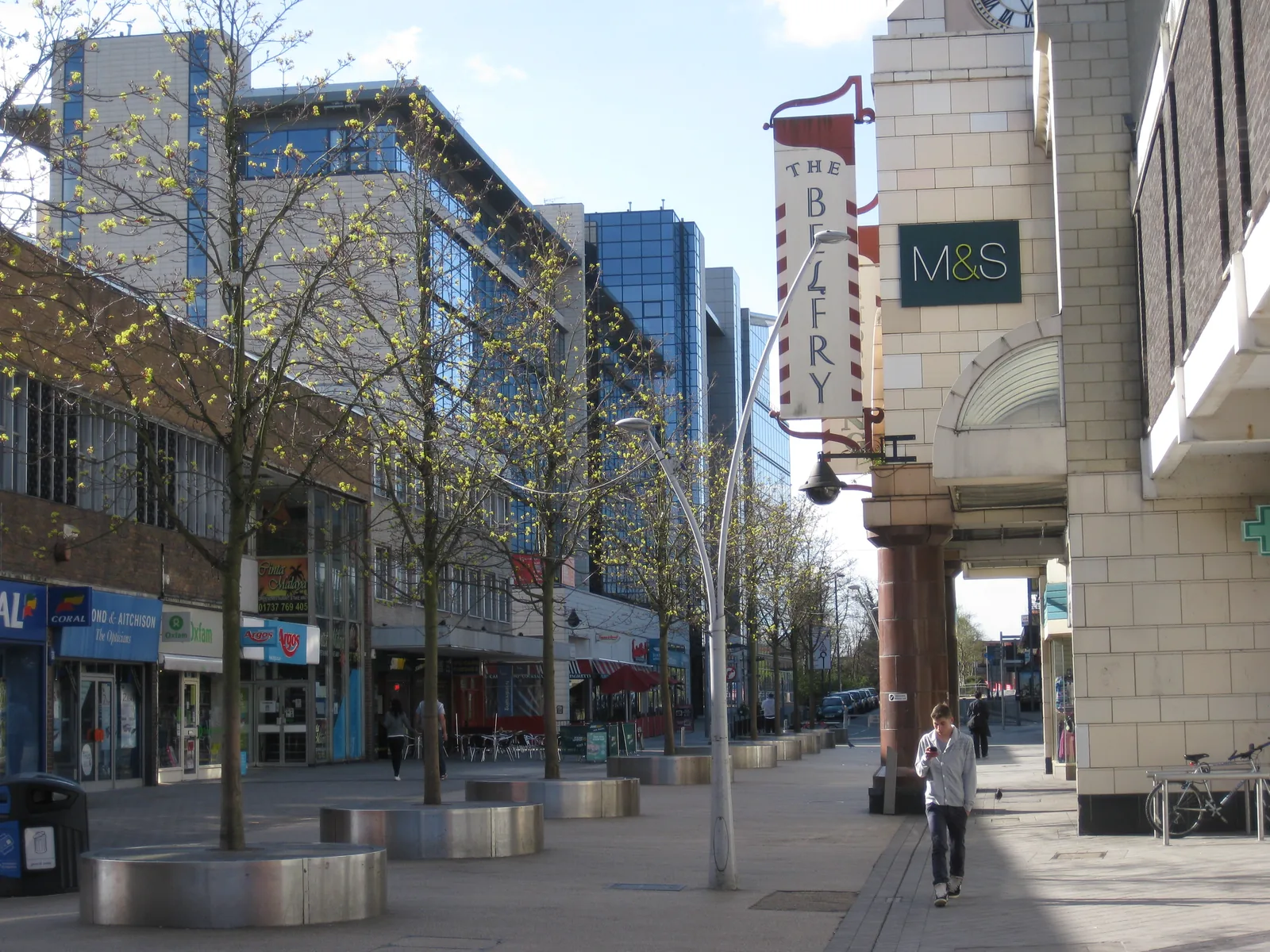
Redhill is a tightly built town immediately east of Reigate, with woodland at Temple Wood and Serpentine Wood and tree cover along the culverted corridor of Redhill Brook. Policy NHE3 also identifies the 3.5 km Core Sustenance Zone for Bechstein's bat associated with the Mole Gap to Reigate Escarpment SAC to the west, so hedgerow and woodland edges can be commuting habitat. Sites on Gatton Park Road, Whitepost Hill or Colesmead Road may also need levels and root-protection work coordinated with a flood risk assessment. The Metropolitan Green Belt wraps much of the edge of the town.
Reigate and Banstead Borough Council assesses tree and landscape issues under Policy NHE3 of the Development Management Plan, adopted on 26 September 2019 and reviewed on 24 September 2024. Policy NHE3 expects an assessment of existing trees, normally through BS5837 arboricultural submissions, and resists the loss of protected, ancient, veteran or high-quality trees unless the benefits clearly outweigh the loss. Confirm the current local validation requirements with the council before submitting.
Local plan: Reigate and Banstead Local Plan: Core Strategy (2014, reviewed 2019 and 2024) and Development Management Plan (adopted 26 September 2019, reviewed 24 September 2024) (The Core Strategy was adopted in 2014 and reviewed in 2019 and 2024. The Development Management Plan was formally adopted on 26 September 2019; the council approved and adopted the DMP Review on 24 September 2024, finding most policies did not need updating. These documents remain the adopted development plan.)
NHE1: Landscape protection
Attaches great weight to the impact of development on the landscape and scenic beauty of the Surrey Hills Area of Outstanding Natural Beauty (now the Surrey Hills National Landscape). Major development in the designation is only supported in exceptional circumstances in the public interest. Proposals must conserve and enhance its landscape and scenic beauty, and development outside its boundaries must have regard to protecting its setting and to the current management plan. The same principles apply in the Area of Great Landscape Value until any AONB boundary review is completed. Throughout the borough, proposals must respect landscape character, ridgelines, public views and tranquillity.
NHE3: Protecting trees, woodland areas and natural habitats
Requires new development, where relevant, to include an assessment of existing trees and landscape features, including their suitability for retention and effects on habitats beyond the site. Loss or deterioration of protected trees, hedgerows, ancient woodland, veteran trees or category A or B trees will be refused unless the benefits clearly outweigh the loss. Important unprotected trees should normally be retained. Compensatory planting must be commensurate, and a buffer is required next to ancient woodland (back gardens do not count). The reasoned justification expects arboricultural submissions to comply with BS5837. The policy also identifies the Mole Gap to Reigate Escarpment SAC Core Sustenance Zone for Bechstein's bat.
NHE2: Protecting and enhancing biodiversity and areas of geological importance
Affords the highest protection to internationally designated sites, including the Mole Gap to Reigate Escarpment SAC, and requires Appropriate Assessment where significant effects are likely. Major development within 3.5 km of the SAC that may support commuting and foraging habitat must have regard to Bechstein's bat, with relevant surveys and retention or mitigation of key features plus a suitable buffer. The policy also protects SSSIs, SNCIs, RIGSs and LNRs, and expects development throughout the borough, especially in Biodiversity Opportunity Areas, to retain and enhance valued habitats and, wherever possible, to achieve a net gain in biodiversity. It does not set a percentage above the later statutory 10 per cent duty.
General guidance for tree survey (bs5837), not formal advice for your site.
Reigate and Banstead Borough Council. From 1 April 2027 planning powers pass to the new East Surrey unitary council under local government reorganisation.
Policy NHE3 requires an assessment of existing trees and landscape features where they are relevant to a proposal, typically a BS5837 survey, impact assessment and protection plan. Confirm the current validation checklist with the council.
They can. Sites along Redhill Brook, Gatton Park Road or Whitepost Hill may also need flood risk work under Policy CCF2, and woodland or hedgerow lines within 3.5 km of the Mole Gap to Reigate Escarpment SAC may be commuting habitat for Bechstein's bat under Policies NHE2 and NHE3.