Featured partner
Recommended for Dorking

ROAVR Group
Tree, ecology, flood risk and topographical surveys for planning applications.
4.9 Google rating
Get a quote
Local experts.
Featured partner
Recommended for Dorking
Tree, ecology, flood risk and topographical surveys for planning applications.
4.9 Google rating
Local experts.
Independent ecology consultancy with its head office in Leatherhead, Surrey.
Environmental consultancy founded in 2004, with its head office on the Surrey Research…
Multi-disciplinary practice founded in 1985, offering arboriculture, ecology, landscape…
Independent ecological consultancy with a Surrey office near Farnham, plus offices in…
Dorking lies next to the Mole Gap to Reigate Escarpment SAC, and Local Plan site policies, including DS23 at Pixham End, specifically require assessment of foraging and commuting habitat suitable for Bechstein's bats. A bat survey also looks at buildings, mature trees and the corridors of the River Mole and Pipp Brook, and it establishes what that means for a planning application. The local planning authority is Mole Valley District Council. Policy EN9 of the Local Plan requires effects on protected species to be assessed. Many activity surveys can only be done between May and September, so a preliminary roost assessment should be planned early.
Local planning authority: Mole Valley District Council
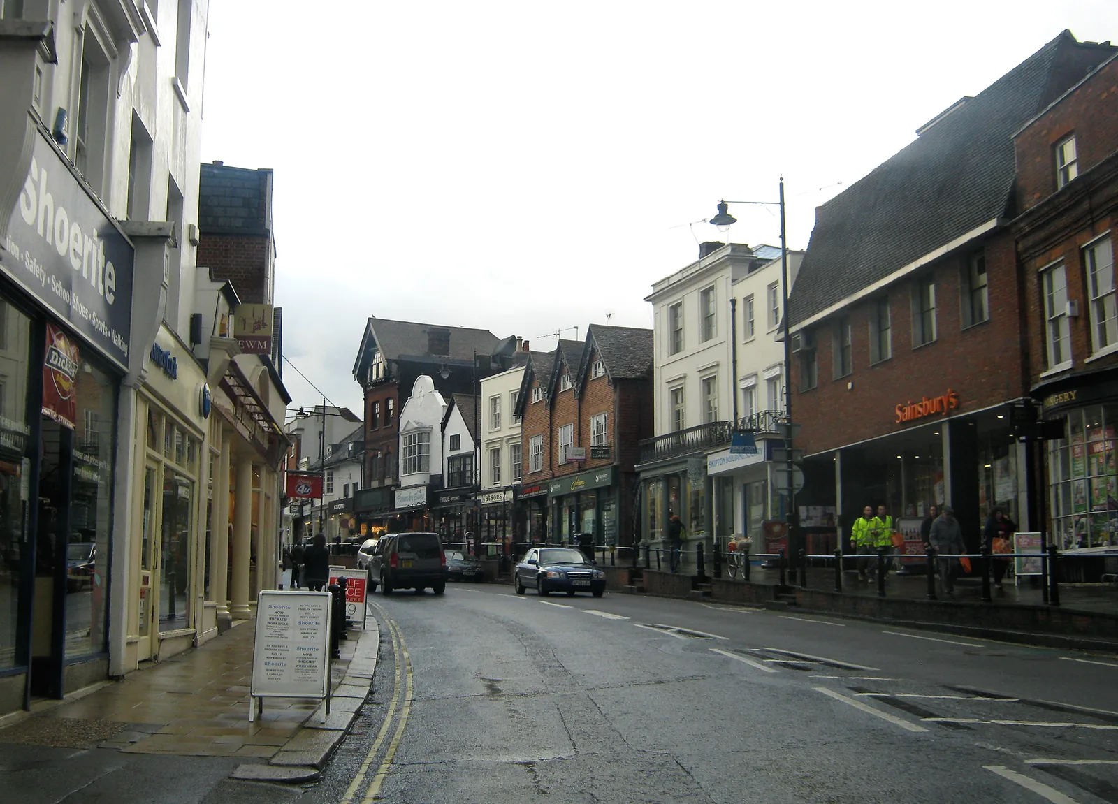
Dorking is an important landscape for bats because the Mole Gap and the wooded scarp of Box Hill and the North Downs form part of the Mole Gap to Reigate Escarpment SAC. Bechstein's bats, a woodland specialist, are a particular concern in this SAC, and commuting routes can run along tree lines, the River Mole and Pipp Brook into the edge of the town, including around Pixham. Older buildings in the town centre and barns on the urban edge can also support more common roosting species. Lighting as well as building works can affect how bats use these routes.
Mole Valley District Council assesses effects on bats under Policy EN9 of the Local Plan 2020-2039 and under the Conservation of Habitats and Species Regulations. Where a proposal could affect the Mole Gap to Reigate Escarpment SAC, including foraging and commuting habitat for Bechstein's bats, the council expects appropriate mitigation; Policy DS23 at Pixham End is an example of how this is applied to a Dorking allocation. A preliminary roost assessment can be done at any time of year; further surveys usually have to be carried out in the active season. Licensing, where required, is issued by Natural England and is separate from planning permission.
Local plan: Mole Valley Local Plan 2020-2039 (Adopted on 15 October 2024. The plan looks ahead to 2039. Local Validation Requirements and Biodiversity Net Gain Requirements were introduced on 10 November 2025 for applications submitted on or after that date.)
DS23: Pixham End, Southern Parcel, Dorking
Site allocation in Dorking that, among other requirements, asks for retention of mature trees, sustainable drainage for fluvial and groundwater flood risk, and mitigation for effects on the Mole Gap to Reigate Escarpment SAC, with particular regard to Bechstein's bat habitat.
General guidance for bat survey, not formal advice for your site.
Mole Valley District Council. From 1 April 2027 planning powers pass to the new East Surrey unitary council under local government reorganisation.
The Mole Gap to Reigate Escarpment SAC is close to the town, and Local Plan policies, including DS23 at Pixham End, specifically require effects on foraging and commuting habitat suitable for Bechstein's bats to be considered and mitigated.
A preliminary roost assessment can be done year-round. If further surveys are needed they are usually done between May and September. Policy EN9 requires protected species to be considered before permission is granted.