Featured partner
Recommended for Dorking

ROAVR Group
Tree, ecology, flood risk and topographical surveys for planning applications.
4.9 Google rating
Get a quote
Local experts.
Featured partner
Recommended for Dorking
Tree, ecology, flood risk and topographical surveys for planning applications.
4.9 Google rating
Local experts.
Independent ecology consultancy with its head office in Leatherhead, Surrey.
Environmental consultancy founded in 2004, with its head office on the Surrey Research…
Multi-disciplinary practice founded in 1985, offering arboriculture, ecology, landscape…
Ecological consultancy owned by Surrey Wildlife Trust, based at the Trust's offices in…
Close to Box Hill, the Surrey Hills and the Mole Gap to Reigate Escarpment SAC, a biodiversity net gain assessment in Dorking has to deal with high-value habitats, but the percentage required is no longer the original 20% in Policy EN9. The local planning authority is Mole Valley District Council. Policy EN9 (Natural Assets) of the Local Plan adopted on 15 October 2024 remains the local biodiversity policy. Following the National Planning Policy Framework published on 17 August 2026, the council now requires the statutory 10% minimum except where a higher figure is justified on a specific site allocation. Habitat assessment next to those designations is still needed, and it is separate from the percentage.
Local planning authority: Mole Valley District Council
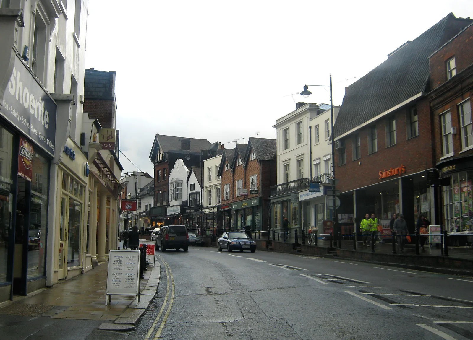
Dorking sits in a gap in the North Downs, with chalk grassland and woodland on Box Hill and along the Mole Gap to Reigate Escarpment SAC, and the River Mole and Pipp Brook in the valley floor. These habitats are why Policy EN9 asks for an early assessment of effects on native biodiversity and significant habitats. Tree planting is not automatically the right form of gain on chalk grassland, a point the Local Plan itself makes. New housing and other development on the edge of the town can also affect the SAC, including commuting habitat for Bechstein's bats, as recognised in site allocation Policy DS23 at Pixham End.
Mole Valley District Council applies Policy EN9 of the Local Plan 2020-2039 (adopted 15 October 2024). EN9 requires proposals that are likely to affect natural assets to include an assessment of their effect on biodiversity, habitats and species, in line with BS 42020, and to retain and enhance significant habitats. The adopted policy text sought a 20% biodiversity net gain on most sites. The council's biodiversity net gain page, however, records that after paragraph N1.2 of the National Planning Policy Framework published on 17 August 2026, planning applications in Mole Valley are now required only to meet the statutory 10% minimum, except where a higher local standard is justified on a specific site allocation. Statutory exemptions, including householder applications, still apply, and developments that are exempt may still need other biodiversity enhancements. Applicants should also meet any Biodiversity Net Gain Requirements introduced with the Local Validation Requirements on 10 November 2025.
Local plan: Mole Valley Local Plan 2020-2039 (Adopted on 15 October 2024. The plan looks ahead to 2039. Local Validation Requirements and Biodiversity Net Gain Requirements were introduced on 10 November 2025 for applications submitted on or after that date.)
EN9: Natural Assets
Requires an assessment of effects on biodiversity and habitats, in line with BS 42020, and the conservation and enhancement of significant habitats and species. The adopted policy text sought a 20% biodiversity net gain, but following the National Planning Policy Framework published on 17 August 2026 the council now applies the statutory 10% minimum except where a higher figure is justified on a specific site allocation.
DS23: Pixham End, Southern Parcel, Dorking
Site allocation in Dorking that, among other requirements, asks for retention of mature trees, sustainable drainage for fluvial and groundwater flood risk, and mitigation for effects on the Mole Gap to Reigate Escarpment SAC, with particular regard to Bechstein's bat habitat.
General guidance for biodiversity net gain (bng), not formal advice for your site.
Mole Valley District Council. From 1 April 2027 planning powers pass to the new East Surrey unitary council under local government reorganisation.
Policy EN9 of the adopted Local Plan sought 20%. After the National Planning Policy Framework published on 17 August 2026, the council's published position is that applications now need to meet the statutory 10% minimum, except where a higher figure is justified on a specific site allocation. Check the council's biodiversity net gain page and the current validation requirements before you submit.
Householder applications are generally exempt from mandatory net gain, but other biodiversity policies in EN9 can still apply, and exemptions do not apply in the same way if priority habitat is affected. Confirm the current rules with Mole Valley District Council.