Featured partner
Recommended for Croydon

ROAVR Group
Tree, ecology, flood risk and topographical surveys for planning applications.
4.9 Google rating
Get a quote
Local experts.
Featured partner
Recommended for Croydon
Tree, ecology, flood risk and topographical surveys for planning applications.
4.9 Google rating
Local experts.
Civil and structural engineering consultancy whose London office is in Sutton town centre.
Civil and structural engineering practice with a London office in Lambeth.
Transport planning and infrastructure consultancy with its main office on North Street…
Transport and civil engineering consultancy with a Surrey office in Godalming and a…
Surface water flood risk in and around Croydon Town Centre is a frequent reason for a flood risk assessment in Croydon. The River Wandle rises around Wandle Park, to the west of North End, rather than running through the main shopping streets. The local planning authority, and the Lead Local Flood Authority, is the London Borough of Croydon. Policy DM25 of the Croydon Local Plan, adopted on 27 February 2018, requires development to reduce flood risk from all sources, to apply a sequential approach, and to provide sustainable drainage. The Local Validation List of May 2026 asks for a flood risk assessment for all applications, even outside mapped flood zones, because of the borough’s surface water risk. Policy SI12 of the London Plan, published on 2 March 2021, also forms part of the development plan.
Local planning authority: London Borough of Croydon
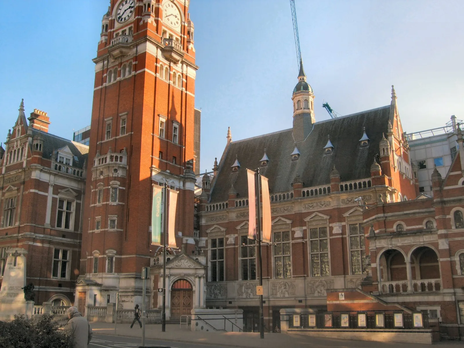
The Local Plan records Croydon as highly susceptible to surface water flooding, with significant episodes at Purley, Kenley, Coulsdon, Norbury and Thornton Heath, which are areas covered on these pages. In Croydon Town Centre and the Croydon Opportunity Area the typical concern is surface water or sewer flooding. Sites close to Wandle Park may also need to consider the River Wandle.
The London Borough of Croydon assesses flood risk and drainage under Policies SP6 and DM25 of the Croydon Local Plan, adopted on 27 February 2018, together with Policies SI12 and SI13 of the London Plan, published on 2 March 2021. Policy DM25 requires sustainable drainage and a flood risk assessment in Flood Zones 2 and 3, for major development, and in Flood Zone 1 where other sources of flooding are identified. The Local Validation List of May 2026 requires a flood risk assessment for all applications. Confirm the current local validation requirements with the council before submitting.
Local plan: Croydon Local Plan 2018 (The Croydon Local Plan 2018 was adopted on 27 February 2018 and remains the adopted local plan. A later review has been published in draft, including a 2024 revised text, but that review is not treated as adopted policy. The London Plan, published on 2 March 2021, also forms part of the development plan. There is no 2027 successor council for this borough.)
DM28: Trees
Policy DM28 of the Croydon Local Plan, adopted on 27 February 2018, requires the Council to protect and enhance the borough’s woodlands, trees and hedgerows.
DM27: Protecting and enhancing our biodiversity
Policy DM27 requires development to enhance biodiversity, to have no adverse impact on land with biodiversity or geo-diversity value, and to have no adverse impact on protected species or their habitats. It does not set a biodiversity net gain percentage above the national minimum.
SP7: Green Grid
Policy SP7 protects the Green Grid, including the Wandle Valley Area Framework, and supports street tree planting, green roofs and ecological restoration.
DM25: Sustainable Drainage Systems and reducing flood risk
Policy DM25 requires development to reduce flood risk from all sources, to apply the sequential and exception tests, and to provide sustainable drainage that achieves better than greenfield runoff rates where possible. A flood risk assessment is required for all development in Flood Zones 2 and 3 and for major development, and in Flood Zone 1 where other sources of flooding are identified.
SP6: Environment and Climate Change
Policy SP6 sets the strategic approach to climate change, flood risk and environmental quality, and records that the Council is the Lead Local Flood Authority.
General guidance for flood risk and drainage assessment, not formal advice for your site.
The London Borough of Croydon. It is also the local planning authority. The London Plan forms part of the development plan. There is no 2027 successor council for this borough.
No. The River Wandle rises around Wandle Park, to the west of North End. Surface water flood risk is the more typical concern in Croydon Town Centre, and the Local Validation List of May 2026 asks for a flood risk assessment for all applications.
Yes. The London Plan, published on 2 March 2021, forms part of the development plan. Policies SI12 and SI13 deal with flood risk and sustainable drainage alongside Policies SP6 and DM25.
No other published town guides for this survey in the council area yet.