Featured partner
Recommended for Ilford

ROAVR Group
Tree, ecology, flood risk and topographical surveys for planning applications.
4.9 Google rating
Get a quote
Local experts.
Featured partner
Recommended for Ilford
Tree, ecology, flood risk and topographical surveys for planning applications.
4.9 Google rating
Local experts.
Civil and structural engineering practice with a London office in Lambeth.
Transport and civil engineering consultancy with a Surrey office in Godalming and a…
Transport planning and infrastructure consultancy with its main office on North Street…
Civil and structural engineering consultancy whose London office is in Sutton town centre.
The River Roding runs close to Ilford Town Centre and Redbridge Town Hall, so flood risk and drainage, including surface water flood risk along Ilford High Road, are a frequent issue for development in Ilford. The local planning authority and Lead Local Flood Authority is the London Borough of Redbridge. Policy LP21 of the Redbridge Local Plan 2015–2030, adopted on 15 March 2018, addresses water and flooding. The River Roding lies near the town rather than through every High Road frontage. Policy SI12 of the London Plan, published on 2 March 2021, also forms part of the development plan.
Local planning authority: London Borough of Redbridge
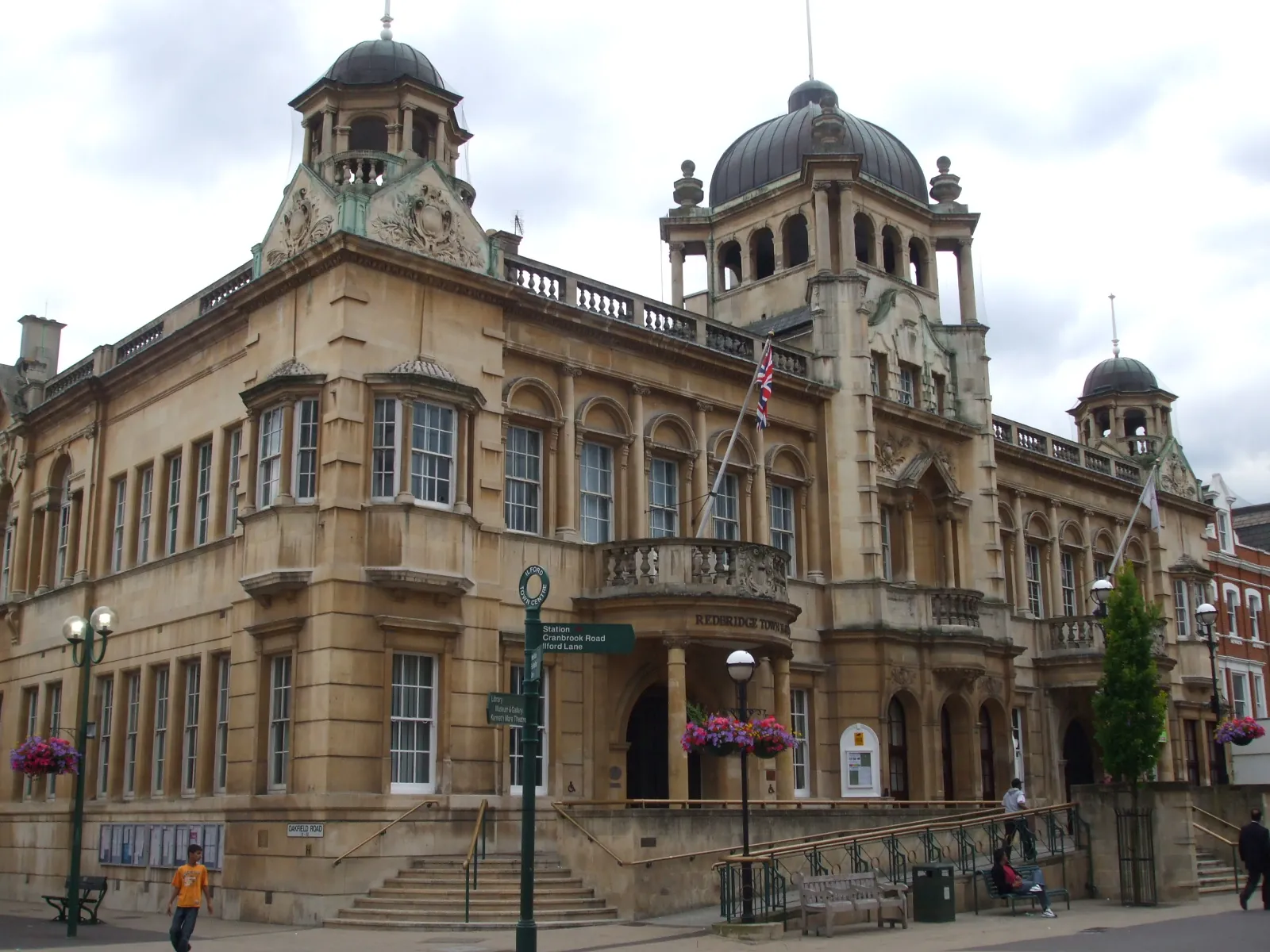
A flood risk assessment around Ilford Town Centre should consider the River Roding and surface water flood risk around Ilford High Road, Redbridge Town Hall and Valentines Park. Wanstead, Gants Hill and South Woodford are areas covered on these pages.
The London Borough of Redbridge, as local planning authority and Lead Local Flood Authority, assesses flood risk under Policy LP21 of the Redbridge Local Plan 2015–2030, adopted on 15 March 2018, together with Policies SI12 and SI13 of the London Plan, published on 2 March 2021. Confirm the current local validation requirements with the council before submitting.
Local plan: Redbridge Local Plan 2015–2030 (The Redbridge Local Plan 2015–2030 was adopted on 15 March 2018 and remains the adopted local plan. The London Plan, published on 2 March 2021, also forms part of the development plan. There is no 2027 successor council for this borough.)
LP38: Protecting Trees and Enhancing the Landscape
Policy LP38 of the Redbridge Local Plan 2015–2030, adopted on 15 March 2018, protects trees and seeks to enhance the landscape.
LP39: Nature Conservation and Biodiversity
Policy LP39 protects nature conservation and biodiversity. It does not set a biodiversity net gain percentage above the national minimum.
LP37: Green Infrastructure and Blue Ribbon Network
Policy LP37 addresses green infrastructure and the Blue Ribbon Network, including the River Roding.
LP21: Water and Flooding
Policy LP21 addresses water and flooding, including flood risk assessment and sustainable drainage.
General guidance for flood risk and drainage assessment, not formal advice for your site.
The London Borough of Redbridge. The London Plan also forms part of the development plan. The borough is the Lead Local Flood Authority. There is no 2027 successor council for this borough.
The London Borough of Redbridge. It is also the local planning authority. The London Plan forms part of the development plan. There is no 2027 successor council for this borough.
Yes. The London Plan, published on 2 March 2021, forms part of the development plan. Policies SI12 and SI13 address flood risk management and sustainable drainage.
No other published town guides for this survey in the council area yet.