Featured partner
Recommended for Lewisham

ROAVR Group
Tree, ecology, flood risk and topographical surveys for planning applications.
4.9 Google rating
Get a quote
Local experts.
Featured partner
Recommended for Lewisham
Tree, ecology, flood risk and topographical surveys for planning applications.
4.9 Google rating
Local experts.
Civil and structural engineering practice with a London office in Lambeth.
Transport and civil engineering consultancy with a Surrey office in Godalming and a…
Transport planning and infrastructure consultancy with its main office on North Street…
Civil and structural engineering consultancy whose London office is in Sutton town centre.
The confluence of the River Ravensbourne and the River Quaggy at Lewisham Gateway is a frequent reason for a flood risk assessment in Lewisham Town Centre. Surface water flood risk also needs to be considered. The local planning authority, and the Lead Local Flood Authority, is the London Borough of Lewisham. Policy SD7 of the Lewisham Local Plan, adopted on 16 July 2025, requires flood risk from all sources to be minimised and managed. The council’s published major-application validation checklist asks for a site-specific flood risk assessment and a topographical survey showing how surface water flows across the site. Policy SI12 of the London Plan, published on 2 March 2021, also forms part of the development plan.
Local planning authority: London Borough of Lewisham
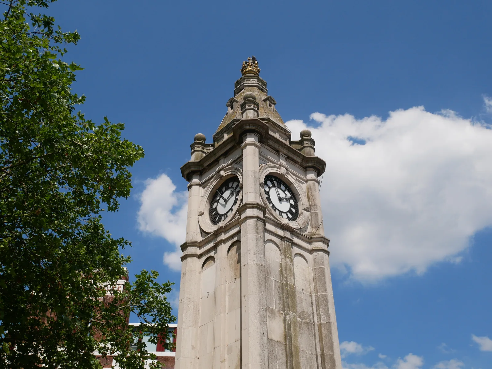
Lewisham Town Centre sits at Lewisham Gateway, where the River Ravensbourne and the River Quaggy meet. Fluvial and surface water flood risk both need to be considered, together with climate change. Catford, further up the Ravensbourne, is an area covered on these pages rather than a second town in this batch.
The London Borough of Lewisham assesses flood risk and drainage under Policies SD7 and SD8 of the Lewisham Local Plan, adopted on 16 July 2025, together with Policies SI12 and SI13 of the London Plan, published on 2 March 2021. The council’s published validation checklists still ask for a site-specific flood risk assessment on relevant sites. Confirm the current local validation requirements with the council before submitting.
Local plan: Lewisham Local Plan 2020–2040 (The Lewisham Local Plan 2020–2040 was adopted on 16 July 2025 and replaced the 2011 Core Strategy and the 2013–14 site allocations, development management and town centre plans. The London Plan, published on 2 March 2021, also forms part of the development plan. There is no 2027 successor council for this borough.)
SD8: Sustainable drainage
Policy SD8 requires sustainable drainage in new development.
GR3: Biodiversity and access to nature
Policy GR3 requires development to protect and enhance biodiversity and to secure biodiversity net gain. The supporting text treats the mandatory benchmark as a minimum 10 per cent increase in habitat value, which is the statutory minimum rather than a higher local standard.
GR5: Urban greening and trees
Policy GR5 of the Lewisham Local Plan, adopted on 16 July 2025, deals with urban greening and trees, including the retention and protection of trees of value and urban greening in new development.
SD7: Minimising and managing flood risk
Policy SD7 requires flood risk from all sources to be minimised and managed, including at the confluence of the River Ravensbourne and the River Quaggy in Lewisham Town Centre.
General guidance for flood risk and drainage assessment, not formal advice for your site.
The London Borough of Lewisham. It is also the local planning authority. The London Plan forms part of the development plan. There is no 2027 successor council for this borough.
Policy SD7 requires flood risk from all sources to be managed. In Lewisham Town Centre the River Ravensbourne and the River Quaggy meet at Lewisham Gateway, and surface water flood risk also needs to be considered. The council’s published validation checklists ask for a site-specific assessment on relevant sites.
Yes. The London Plan, published on 2 March 2021, forms part of the development plan. Policies SI12 and SI13 deal with flood risk and sustainable drainage alongside Policies SD7 and SD8.