Featured partner
Recommended for Staines-upon-Thames

ROAVR Group
Tree, ecology, flood risk and topographical surveys for planning applications.
4.9 Google rating
Get a quote
Local experts.
Featured partner
Recommended for Staines-upon-Thames
Tree, ecology, flood risk and topographical surveys for planning applications.
4.9 Google rating
Local experts.
Flood risk and drainage consultancy based in Crawley, working across England and Wales.
Flood risk consultancy based at Pyle Hill near Woking, on the northern edge of Guildford…
Transport planning and infrastructure consultancy with its main office on North Street…
Transport planning and infrastructure consultancy based at Lion House, Oriental Road in…
Staines-upon-Thames sits on the undefended floodplain of the River Thames, with further risk from the River Colne, River Ash, Sweeps Ditch and groundwater, as shown by flooding at Wheatsheaf Lane, Penton Hook, Budebury Road and Knightsbridge Crescent. A flood risk assessment and drainage strategy should show whether a proposal will be safe, avoid increasing flood risk elsewhere, and manage surface water, usually with sustainable drainage. The local planning authority is Spelthorne Borough Council, and Surrey County Council is the Lead Local Flood Authority. Policy E3 of the Local Plan 2024-2039/40, adopted on 17 March 2026, applies the sequential test and requires a site-specific flood risk assessment in Flood Zones 2 and 3a and on dry islands.
Local planning authority: Spelthorne Borough Council
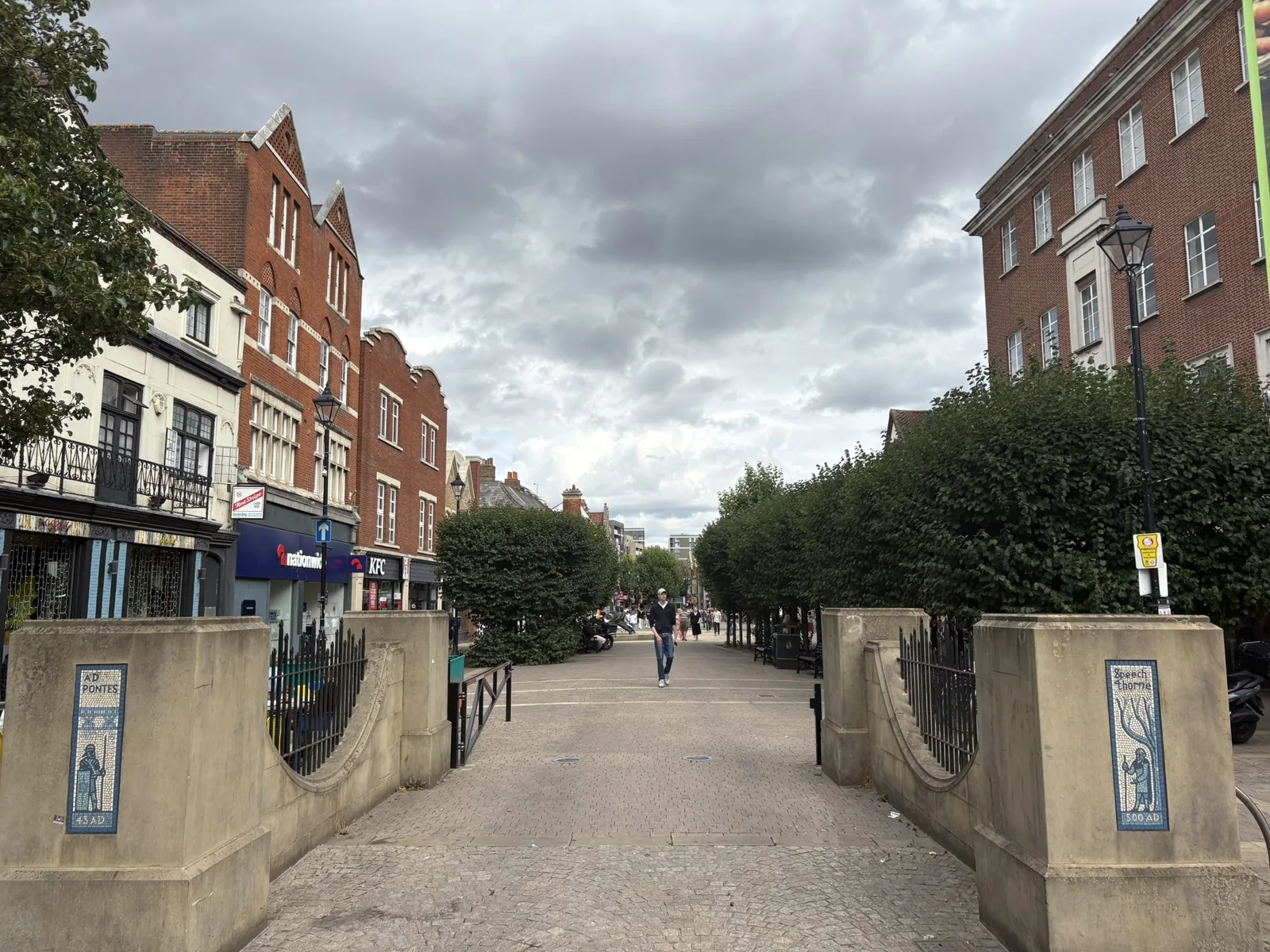
A significant part of Staines-upon-Thames lies in the floodplains of the River Thames, the River Colne and the River Ash. Policy SP6 notes that the Thames between Egham and Teddington is one of the largest areas of undefended, developed floodplain in England, and Policy E3 safeguards the River Thames Scheme channel through the borough. Surrey County Council's Section 19 report of 28 October 2015 recorded 2013/14 flooding in the Commercial Road and Laleham Road areas, including Knightsbridge Crescent, Parkside Place and Guildford Street, with groundwater, surface water and some sewer flooding as well as fluvial flows. After Storm Henk in January 2024, Annex B investigations found groundwater flooding at Wheatsheaf Lane and Penton Hook (23 properties, 13 internal, water lingering two to three weeks because high Thames levels blocked drainage), Thames overtopping at Riverside Close on 6 January 2024, and flooding at Budebury Road linked to Sweeps Ditch levels and groundwater.
Spelthorne Borough Council assesses flood risk under Policy E3 of the Local Plan 2024-2039/40, adopted on 17 March 2026, together with national policy and the council's Strategic Flood Risk Assessment. Policy E3 guides development to the lowest risk from all sources, requires SuDS unless they are not appropriate, and requires a site-specific flood risk assessment for development in Flood Zones 2 and 3a and on dry islands, including safe access and egress and an allowance for climate change. Policy SP1 also requires flood risk management and green and blue infrastructure to be incorporated in Staines-upon-Thames proposals where appropriate, and Policy SP6 sets main-river buffers and supports the River Thames Scheme. Confirm current Environment Agency flood maps, the Level 1 SFRA and the Local List with the council before submitting.
Local plan: Spelthorne Local Plan 2024-2039/40 (Adopted at Extraordinary Council on 17 March 2026. The Local List of Information Requirements was updated in June 2026.)
SP5: Colne Valley Regional Park
Policy for the Colne Valley Regional Park, covering the Colne corridor and Staines Moor to the north of the town.
SP1: Staines-upon-Thames
Area strategy for the borough's main town centre. Requires flood risk management and green and blue infrastructure to be incorporated where appropriate, and expects development affecting the Staines Conservation Area or the river frontage to respect and enhance that character. Supports riverside public realm, landscaping and SuDS.
E1: Green and Blue Infrastructure
Requires all development to contribute to the green and blue infrastructure network at a commensurate scale. Proposals on or adjacent to a watercourse or reservoir must protect and enhance ecological, flood risk, landscape and recreational value, consistent with the Water Framework Directive.
E2: Biodiversity
Supports habitat connectivity and habitat creation, particularly in Biodiversity Opportunity Areas including Staines Moor to Shortwood Common. Seeks at least 10 per cent biodiversity net gain, delivered first on site, then close to the site, then within the borough where feasible. Protects Ramsar, SPA and SSSI units forming the South West London Waterbodies network, and local SNCIs, LNRs, ancient and veteran trees and TPOs.
E3: Managing Flood Risk
Guides development to the lowest flood risk from all sources through the sequential test, with the exception test where national policy requires it. Requires SuDS unless they are not appropriate, greenfield runoff rates on new development, and site-specific flood risk assessment in Flood Zones 2 and 3a and on dry islands, including safe access and egress and climate change. Safeguards the River Thames Scheme channel through the borough. Basement extensions and conversions to a higher vulnerability in the floodplain are not permitted.
PS3: Heritage, Conservation and Landscape
Seeks to preserve and enhance architectural, historic and landscape character. Includes conservation areas, listed buildings, archaeology, and the effective use of Tree Preservation Orders to protect significant trees, with replacement required if a protected tree has to be felled. The June 2026 Local List cites Policy PS3 as the driver for tree surveys.
SP6: River Thames and its Tributaries
Protects the setting of the River Thames and the Rivers Ash, Colne and Wraysbury. Requires no new culverting, retained natural banks, undeveloped buffer zones of at least 8 m for main rivers and 5 m for other watercourses (including culverted rivers), and supports the River Thames Scheme, including a new footpath connection at Laleham.
General guidance for flood risk and drainage assessment, not formal advice for your site.
Spelthorne Borough Council is the local planning authority. Surrey County Council is the Lead Local Flood Authority. From 1 April 2027 planning powers pass to the new West Surrey unitary council under local government reorganisation.
Policy E3 requires a site-specific flood risk assessment for development in Flood Zones 2 and 3a and on dry islands. National policy also requires an assessment in Flood Zone 1 for sites of 1 hectare or more, and in some other circumstances. Confirm the current Local List and Environment Agency standing advice with the council.
A partnership project, supported in Policies E3 and SP6, to reduce flood risk on the undefended reach of the Thames between Egham and Teddington by providing additional channel capacity. The proposed route through Spelthorne is safeguarded on the Policies Map. It does not remove the need for a site-specific flood risk assessment.