Featured partner
Recommended for Watford

ROAVR Group
Tree, ecology, flood risk and topographical surveys for planning applications.
4.9 Google rating
Get a quote
Local experts.
Featured partner
Recommended for Watford
Tree, ecology, flood risk and topographical surveys for planning applications.
4.9 Google rating
Local experts.
Transport planning and infrastructure consultancy with its main office on North Street…
Civil and structural engineering practice with a London office in Lambeth.
Flood risk consultancy based at Pyle Hill near Woking, on the northern edge of Guildford…
Flood risk and drainage consultancy based in Crawley, working across England and Wales.
Watford sits on the River Gade and the River Colne, with the Grand Union Canal running through the town, so a flood risk assessment should start with those watercourses and with surface water, including sites next to Cassiobury Park. The local planning authority is Watford Borough Council, and Hertfordshire County Council is the Lead Local Flood Authority. Policy NE9.4 of the Watford Local Plan 2021-2038, adopted on 17 October 2022, requires the Sequential and Exception Tests in flood zones and a flood risk assessment in Flood Zones 2 and 3, and for development over one hectare in Flood Zone 1.
Local planning authority: Watford Borough Council
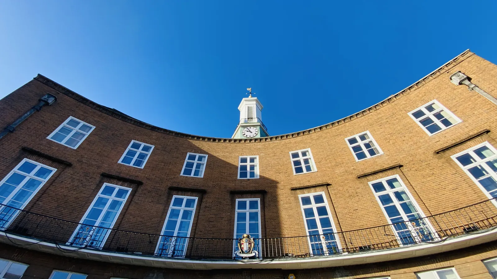
The River Gade through Cassiobury Park, the River Colne and the Grand Union Canal are the main fluvial and canal corridors. Policy NE9.4 also requires an undeveloped eight-metre buffer to a main river and no net loss of floodplain. Policy NE9.5 requires well-designed SuDS, aiming for greenfield run-off rates, agreed with the Lead Local Flood Authority and consistent with the Hertfordshire Local Flood Risk Management Strategy.
Watford Borough Council assesses flood risk under Policy NE9.4 of the Watford Local Plan 2021-2038, adopted on 17 October 2022, and surface water under Policy NE9.5. Development must be safe, must not cause a net loss of floodplain, and must satisfy the sequential test, with the exception test where national policy requires it. Hertfordshire County Council is the Lead Local Flood Authority. Confirm the current validation requirements with the council before submitting.
Local plan: Watford Local Plan 2021-2038 (Adopted on 17 October 2022 and still in force as of 13 November 2026.)
NE9.4: Flood Risk and Mitigation
Requires proposals in flood zones to meet the Sequential and Exception Tests. Only water-compatible uses and essential infrastructure are permitted in Flood Zone 3b. A flood risk assessment is required in Flood Zones 2 and 3, and for development over one hectare in Flood Zone 1. Development must remain safe, must not cause a net loss of floodplain, and should provide an undeveloped eight-metre buffer to a main river.
NE9.5: Surface Water Management
Supports well-designed Sustainable Drainage Systems that aim to achieve greenfield run-off rates, are multifunctional, and are agreed with the Lead Local Flood Authority consistently with the Hertfordshire Local Flood Risk Management Strategy, with a management plan for the lifetime of the development including climate change.
NE9.1: The Natural Environment
Requires development to demonstrate a positive impact on Watford's natural environment, including measurable biodiversity net gain following the mitigation hierarchy, protection of trees and native planting, and treating protected species and their habitats as a material consideration. Where the natural environment has not been appropriately assessed, planning permission will be refused.
General guidance for flood risk and drainage assessment, not formal advice for your site.
Watford Borough Council is the local planning authority.
Policy NE9.4 applies where a site is at risk from the River Gade, the River Colne, the Grand Union Canal, surface water or other sources, or could increase risk elsewhere. A site-specific flood risk assessment is typically required in Flood Zones 2 and 3 and for sites over one hectare in Flood Zone 1. Confirm the current validation requirements with the council.
Yes, where the site is on or next to the River Gade corridor through Cassiobury Park, or the River Colne or Grand Union Canal. Policy NE9.4 requires a main-river buffer and a site-specific assessment in the flood zones.
No other published town guides for this survey in the council area yet.