Featured partner
Recommended for Camberley

ROAVR Group
Tree, ecology, flood risk and topographical surveys for planning applications.
4.9 Google rating
Get a quote
Local experts.
Featured partner
Recommended for Camberley
Tree, ecology, flood risk and topographical surveys for planning applications.
4.9 Google rating
Local experts.
Surveying and construction consultancy with its head office at Merrow Business Park in…
Land surveying company based in Shere, in Guildford borough.
Land and building surveying company with offices in Surrey (Dunsfold Park), London,…
Underground mapping and land surveying company with its registered office in Wormley and…
Surface-water routes such as Middleton Road and Robins Bow, and The Maultway, which the Section 19 report describes as the watershed between the Blackwater River catchment and the Mill Bourne, are why an accurate topographical survey matters in Camberley. The survey is a measured plan of a site, its buildings and visible features, and is the base drawing for design and for many planning application plans. The local planning authority is Surrey Heath Borough Council. Policy DM10 flood-risk assessments depend on ground levels and drainage. The sandy Camberley Formation that underlies most of the town can change how levels and infiltration are interpreted on site.
Local planning authority: Surrey Heath Borough Council
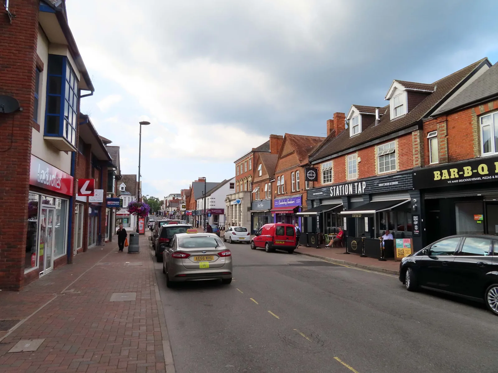
Camberley's landform is a gentle fall from The Maultway watershed toward the Blackwater River on the western edge. The Section 19 report into winter 2013/14 records internal flooding at Robins Bow, Middleton Road, The Maultway and part of London Road, with a mapped high-risk surface water route on Middleton Road. Most of the investigated sub-area is underlain by Camberley Formation sand. East of the town, Broadmoor to Bagshot Woods and Heaths and the Metropolitan Green Belt rise toward Chobham Common, so a measured survey can also support landscape and Green Belt arguments on the urban edge.
Surrey Heath Borough Council does not have a single named topographical survey policy, but measured plans and levels are part of showing compliance with Policy DM10 on flooding and, on the eastern edge, with Green Belt and SPA-adjacent landscape tests. The Local Validation List 2025 requires site levels in Flood Zones 2 or 3 and in other circumstances set out in the list. Applicants should provide plans that meet the national and local validation requirements for location and block plans, and should include sufficient level information where flood risk or surface-water flow paths are in issue. Confirm the current checklist with Surrey Heath Borough Council before submitting.
Local plan: Core Strategy and Development Management Policies Development Plan Document (2012), extant saved policies of the Local Plan 2000, and the Camberley Town Centre Area Action Plan (Adopted. The Core Strategy and Development Management Policies DPD was adopted on 1 February 2012 and covers the period 2011 to 2028. It remains the statutory development plan, together with saved Local Plan 2000 policies and the Camberley Town Centre Area Action Plan, until replaced.)
CP14A: Biodiversity and Nature Conservation
Seeks to conserve and enhance biodiversity in Surrey Heath. Development that results in harm to or loss of features of interest for biodiversity will not be permitted. Particular regard is had to SPAs and SACs, SSSIs, and local sites including ancient woodland. Outside those areas, new development will where appropriate be required to contribute to the protection, management and enhancement of biodiversity.
CP13: Green Infrastructure
Seeks a network of accessible and integrated green infrastructure. Schemes that enhance existing green infrastructure, increase provision or improve connectivity are encouraged. Development that results in the loss, fragmentation or isolation of green infrastructure will be resisted. Strategic green infrastructure includes European sites and SANGs.
DM9: Design Principles
Among other design tests, development is acceptable where it protects trees and other vegetation worthy of retention and provides high quality hard and soft landscaping where appropriate.
CP14B: European Sites
Development is permitted only where it will not give rise to a likely significant adverse effect on the integrity of the Thames Basin Heaths SPA and/or the Thursley, Ash, Pirbright & Chobham Common SAC. No net new residential development is permitted within 400 m of the SPA. All net new residential development within 5 km must provide or contribute to SANG (at least 8 ha per 1,000 new occupants) and contribute to SAMM, in accordance with the adopted Avoidance Strategy. Developments of 10 or more net new dwellings are only permitted within identified SANG catchment areas.
DM10: Development and Flood Risk
Takes a sequential approach to flood risk. Development in Flood Zones 2 and 3, on sites of 1 ha or greater in Zone 1, and on sites at medium or high risk from other sources of flooding identified in the SFRA, will not be supported unless the sequential and exception tests are passed where relevant, a site-specific flood risk assessment shows the proposal would reduce risk or at least be risk-neutral, and any identified risks can be reduced to acceptable levels through design and mitigation. Development is expected to reduce the volume and rate of surface water run-off through appropriately designed SuDS.
General guidance for topographical survey, not formal advice for your site.
Surrey Heath Borough Council. From 1 April 2027 planning powers pass to the new West Surrey unitary council under local government reorganisation.
Whenever levels, drainage or existing buildings affect the design, especially near Middleton Road, Robins Bow, The Maultway or the Blackwater River, and on the eastern edge toward the Metropolitan Green Belt. It is also the usual base for a flood risk assessment under Policy DM10.
No single policy is named for it. The survey supports other tests in the local plan, especially DM10 (flooding). Use the current Local Validation List 2025 for plan and site-level standards.