Featured partner
Recommended for Dorking

ROAVR Group
Tree, ecology, flood risk and topographical surveys for planning applications.
4.9 Google rating
Get a quote
Local experts.
Featured partner
Recommended for Dorking
Tree, ecology, flood risk and topographical surveys for planning applications.
4.9 Google rating
Local experts.
Land surveying company based in Shere, in Guildford borough.
Surveying and construction consultancy with its head office at Merrow Business Park in…
Land and building surveying company with offices in Surrey (Dunsfold Park), London,…
Measured survey company founded in Cranleigh and now based in Camberley, with a second…
Accurate levels in the valley of the River Mole and Pipp Brook, including around Pixham and Vincent Lane, are the reason a topographical survey matters in Dorking, and the same measured plan is needed on sloping sites under Box Hill and the Surrey Hills. The survey records a site, its buildings and visible features, and is the base drawing for design and for many planning application plans. The local planning authority is Mole Valley District Council. Flood-risk work under Policy INF3 depends on ground levels, and Policy EN8 requires development to conserve the landscape. A clear survey also helps to show the effect of a proposal on the Metropolitan Green Belt and on views to and from the North Downs.
Local planning authority: Mole Valley District Council
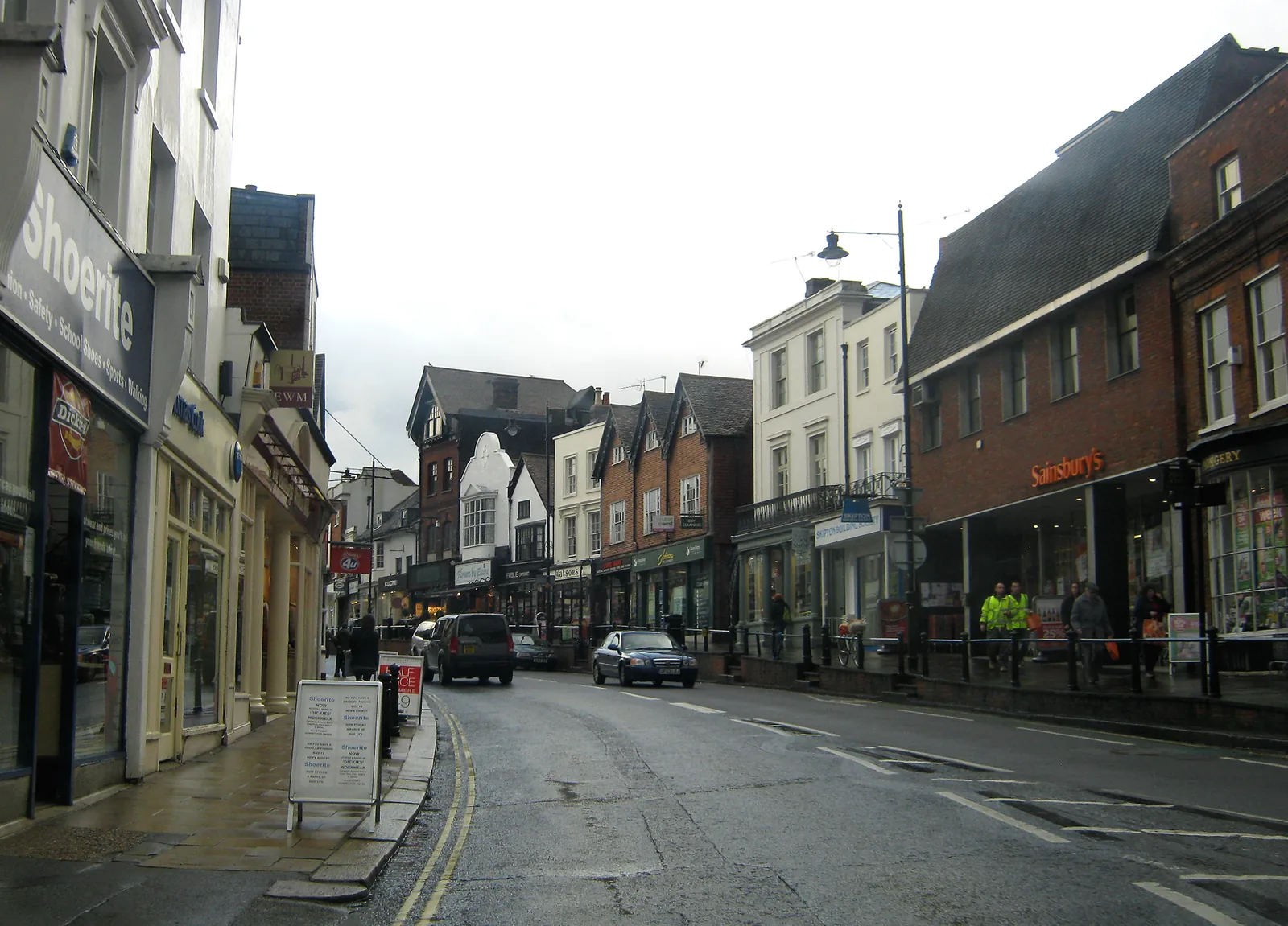
Dorking's landform changes quickly from the chalk scarp of the North Downs and Box Hill to the valley floor of the River Mole and Pipp Brook. A few metres of level change can decide whether a site sits in the floodplain around Pixham or on rising ground towards the Surrey Hills. The Section 19 report notes chalk to the north, clay to the south and sandstone and mudstone in the centre of the sub-area, so a measured survey should be read with an understanding of the underlying ground. Vincent Lane and the A24, both mentioned in the flood investigation, show how tightly the main roads sit in the valley.
Mole Valley District Council does not have a single named “topographical survey” policy, but measured plans and levels are part of showing compliance with Policy INF3 on flood risk, Policy EN8 on the Surrey Hills landscape, and Green Belt policy. Applications must include a location plan and other plans that meet the Local Validation Requirements introduced on 10 November 2025. Where flood risk, landscape setting or a change in levels is in issue, a topographical survey is the usual base drawing. Confirm the current validation checklist with the council before submitting.
Local plan: Mole Valley Local Plan 2020-2039 (Adopted on 15 October 2024. The plan looks ahead to 2039. Local Validation Requirements and Biodiversity Net Gain Requirements were introduced on 10 November 2025 for applications submitted on or after that date.)
DS23: Pixham End, Southern Parcel, Dorking
Site allocation in Dorking that, among other requirements, asks for retention of mature trees, sustainable drainage for fluvial and groundwater flood risk, and mitigation for effects on the Mole Gap to Reigate Escarpment SAC, with particular regard to Bechstein's bat habitat.
General guidance for topographical survey, not formal advice for your site.
Mole Valley District Council. From 1 April 2027 planning powers pass to the new East Surrey unitary council under local government reorganisation.
Whenever levels, watercourses or views affect the design, especially near the River Mole, Pipp Brook, Pixham, Vincent Lane, Box Hill or the Surrey Hills. It is also the usual base for a flood risk assessment under Policy INF3.
No single policy is named for it. The survey supports other tests in the Local Plan, including INF3 (flood risk) and EN8 (landscape). Use the Local Validation Requirements introduced on 10 November 2025 for plan standards.