Featured partner
Recommended for Loughton

ROAVR Group
Tree, ecology, flood risk and topographical surveys for planning applications.
4.9 Google rating
Get a quote
Local experts.
Featured partner
Recommended for Loughton
Tree, ecology, flood risk and topographical surveys for planning applications.
4.9 Google rating
Local experts.
Measured building and land surveyors trading from 111 Gosterwood Street in Deptford, in…
Land and building surveying company with offices in Surrey (Dunsfold Park), London,…
Land and measured-building survey practice with a London office in Crystal Palace.
Surveying and construction consultancy with its head office at Merrow Business Park in…
A topographical survey in Loughton should pick up the steep levels on The Hills around the York Hill Conservation Area, Staples Road Conservation Area and Baldwins Hill Conservation Area, the edge of Epping Forest SAC, and levels towards the River Roding. Accurate levels matter for flood risk, drainage and layout. The local planning authority is Epping Forest District Council. Policy DM15 of the Local Plan 2011-2033, adopted on 6 March 2023, depends on reliable site levels for the Sequential Test and for drainage design.
Local planning authority: Epping Forest District Council
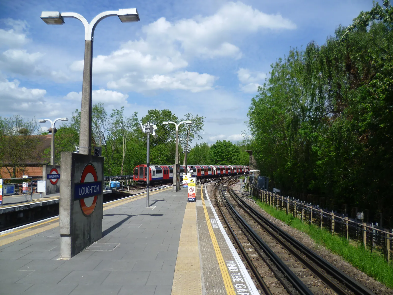
York Hill, Woodbury Hill, King's Hill and Pump Hill take their names from the topography. A survey should record banks, thresholds and trees that constrain the layout, including next to Epping Forest SAC, and should be coordinated with a flood risk assessment on or towards the River Roding.
Epping Forest District Council will expect drawings that rely on site levels, including flood risk assessments under Policy DM15 of the Local Plan 2011-2033, adopted on 6 March 2023, and tree or habitat work under Policy DM1. A topographical survey is often the evidence that ties those assessments together. Confirm the current validation requirements with the council before submitting.
Local plan: Epping Forest District Local Plan 2011-2033 (Adopted on 6 March 2023 and still in force as of 13 November 2026.)
DM1: Habitat Protection and Improving Biodiversity
Requires all development to seek to deliver net biodiversity gain in addition to protecting existing habitats and species, to avoid harm to habitats, species and corridors, and not to permit significant impacts on internationally or nationally designated sites. The loss of irreplaceable habitats such as veteran trees and ancient woodland will not be permitted unless the need and benefits clearly outweigh the loss. Monitoring of mitigation, compensation and offsetting may be secured by condition.
General guidance for topographical survey, not formal advice for your site.
Epping Forest District Council is the local planning authority.
A topographical survey is likely where flood risk, trees or a change in levels would affect the layout, including on The Hills around the York Hill Conservation Area and towards the River Roding and Epping Forest SAC. Confirm the current validation requirements with the council.
Yes, especially towards the River Roding, and for surface water on the steep ground around the York Hill Conservation Area, Staples Road Conservation Area and Baldwins Hill Conservation Area. Policy DM15 depends on accurate levels.