Featured partner
Recommended for Peckham

ROAVR Group
Tree, ecology, flood risk and topographical surveys for planning applications.
4.9 Google rating
Get a quote
Local experts.
Featured partner
Recommended for Peckham
Tree, ecology, flood risk and topographical surveys for planning applications.
4.9 Google rating
Local experts.
Measured building and land surveyors trading from 111 Gosterwood Street in Deptford, in…
Land and measured-building survey practice with a London office in Crystal Palace.
Land and building surveying company with offices in Surrey (Dunsfold Park), London,…
Land survey and site engineering practice based in Chesham, north-west of the M25.
Levels around Peckham Town Centre, Rye Lane and Peckham Rye are a frequent reason for a topographical survey in Peckham. An accurate survey of the site, neighbouring land and any nearby drainage path supports sustainable drainage design and tree protection. The local planning authority is the London Borough of Southwark. Policy P68 of the Southwark Plan, adopted on 23 February 2022, requires flood risk and surface water run-off to be understood, which depends on accurate levels. Policy P61 also expects trees to be plotted and protected to BS5837. Policy SI13 of the London Plan, published on 2 March 2021, also forms part of the development plan.
Local planning authority: London Borough of Southwark
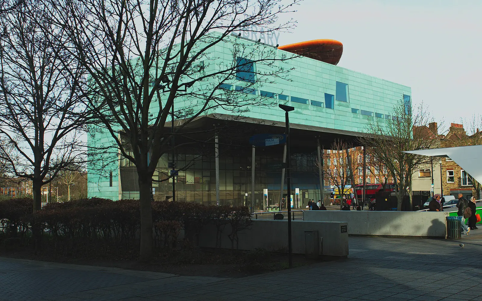
A topographical survey in Peckham Town Centre should record the fall of the land toward Peckham Rye and along Rye Lane, together with kerbs, gullies and any other drainage path relevant to surface water flood risk, including around Peckham Library. The Thames tidal floodplain is only relevant where a site is actually in the north of the borough.
The London Borough of Southwark uses topographical information to support flood, tree and design policies in the Southwark Plan, adopted on 23 February 2022, including Policies P61 and P68, together with the London Plan, published on 2 March 2021. Confirm the current local validation requirements with the council before submitting.
Local plan: Southwark Plan 2022 (The Southwark Plan 2019–2036 was adopted on 23 February 2022 and remains the adopted local plan. The London Plan, published on 2 March 2021, also forms part of the development plan. There is no 2027 successor council for this borough.)
P60: Biodiversity
Policy P60 requires development to contribute to net gains in biodiversity by enhancing and protecting SINCs, Local Nature Reserves, protected species and priority habitats. It does not set a percentage above the national minimum.
P61: Trees
Policy P61 of the Southwark Plan, adopted on 23 February 2022, requires significant existing trees to be retained and protected, including trees of high amenity value, trees in conservation areas, and veteran, ancient and notable trees, and requires retained trees to be protected during construction in line with BS5837.
P68: Reducing flood risk
Policy P68 requires development not to increase flood risk on or off site, sets finished floor levels in areas at risk of flooding, and requires major development to reduce surface water run-off to greenfield rates through sustainable drainage. Tidal flood risk from the Thames is identified in the north of the borough, not in Peckham Town Centre.
General guidance for topographical survey, not formal advice for your site.
The London Borough of Southwark. The London Plan also forms part of the development plan. The borough is the Lead Local Flood Authority. There is no 2027 successor council for this borough.
Accurate levels are needed to support a flood risk or drainage assessment under Policy P68, especially where surface water flood risk is a concern around Rye Lane and Peckham Rye, and to plot root protection areas under Policy P61.
Yes. The London Plan, published on 2 March 2021, forms part of the development plan. The London Plan forms part of the development plan alongside the Southwark Plan adopted on 23 February 2022.