Featured partner
Recommended for Woking

ROAVR Group
Tree, ecology, flood risk and topographical surveys for planning applications.
4.9 Google rating
Get a quote
Local experts.
Featured partner
Recommended for Woking
Tree, ecology, flood risk and topographical surveys for planning applications.
4.9 Google rating
Local experts.
Environmental consultancy founded in 2004, with its head office on the Surrey Research…
Multi-disciplinary practice founded in 1985, offering arboriculture, ecology, landscape…
Ecology consultancy based in Cranleigh that specialises in bat surveys, with habitat…
Independent ecological consultancy with a Surrey office near Farnham, plus offices in…
Bridges and mature trees along the Basingstoke Canal, and woodland edges around Horsell Common, are typical places where a bat survey is needed in Woking. The survey establishes whether bats use a building, tree or other feature, and what that means for a planning application. The local planning authority is Woking Borough Council. Policy CS7 of the Core Strategy requires effects on protected species to be considered as part of biodiversity and nature conservation. Many roost emergence and activity surveys can only be done between May and September, so a preliminary assessment is often needed early in the design of a loft conversion, demolition or barn-style building in the borough.
Local planning authority: Woking Borough Council
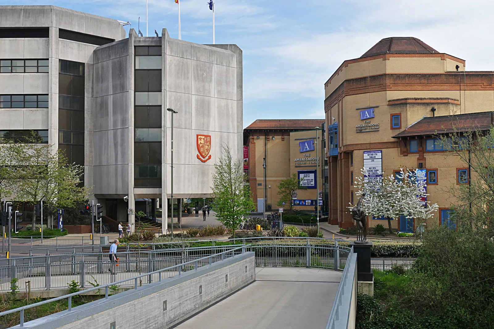
Woking offers bats a mix of suburban roofs, canal-side trees and heathland edges. The Basingstoke Canal is a dark, linear commuting route through the town, and Policy DM4 seeks to protect the character of development in its vicinity. To the north, Horsell Common provides woodland and heath edge habitat adjoining the built-up area. The Hoe Stream corridor in the southern suburbs is another likely commuting route. Because these features run through and around the town, bat issues are not confined to rural barns; they also arise on residential streets close to the canal and the common.
Woking Borough Council assesses effects on bats under Core Strategy Policy CS7 (Biodiversity and nature conservation) and under the Conservation of Habitats and Species Regulations, which protect bats and their roosts. Where a proposal is near the Basingstoke Canal, Policy DM4 is also relevant to lighting and design. A preliminary roost assessment can be done at any time of year; if further emergence or activity surveys are needed they usually have to be carried out in the active season. The council can refuse permission where protected-species effects have not been properly assessed.
Local plan: Woking Core Strategy (2012), Development Management Policies DPD (2016) and Site Allocations Plan (2021) (Adopted. The Core Strategy was adopted on 25 October 2012 and reviewed in 2018 and on 12 October 2023. The Development Management Policies DPD was adopted on 20 October 2016 and reviewed in October 2021. The Site Allocations Plan was adopted on 14 October 2021.)
CS6: Green Belt
Protects the Metropolitan Green Belt around Woking's urban area and sets the tests for inappropriate development.
CS7: Biodiversity and nature conservation
Protects internationally, nationally and locally designated sites, including the Thames Basin Heaths SPA and the Thursley, Ash, Pirbright and Chobham SAC, and requires development to contribute to biodiversity.
CS8: Thames Basin Heaths Special Protection Areas
Gives priority protection to the SPA. No net new residential development is permitted within 400 m. Development between 400 m and 5 km must contribute to SANG and SAMM. Three component sites in or partly in the borough are Horsell Common, Sheets Heath (Brookwood) and Brookwood Heath.
CS9: Flooding and water management
Expects development in Flood Zone 1. Flood Zone 2 is considered only if there is no suitable alternative at lower risk. Development in Flood Zones 3a and 3b requires a comprehensive flood risk assessment and must not increase flood risk elsewhere. Permission is refused where proposals would adversely affect an SPA, SAC or Ramsar site.
CS21: Design
Requires proposals to incorporate landscaping, including the retention of trees of amenity value and other features.
DM2: Trees and landscaping
Supports removal of TPO or conservation-area trees only in exceptional circumstances with over-riding planning benefits and replacement planting. Requires retained trees to be protected during construction and given adequate space, and new landscape schemes to enhance character and connect to green infrastructure.
DM4: Development in the vicinity of Basingstoke Canal
Sets additional design and amenity tests for development near the Basingstoke Canal, which is also identified as a green and blue infrastructure asset.
General guidance for bat survey, not formal advice for your site.
Woking Borough Council. From 1 April 2027 planning powers pass to the new West Surrey unitary council under local government reorganisation.
A preliminary roost assessment can be done year-round. If bats may be present, further surveys are usually needed in the May to September active season. Policy CS7 requires protected species to be considered before permission is granted.
Buildings and trees close to the Basingstoke Canal, the Hoe Stream, Horsell Common and other woodland or water edges are typical triggers, but any building with features suitable for roosting can need an assessment.
No other published town guides for this survey in the council area yet.