Featured partner
Recommended for Weybridge

ROAVR Group
Tree, ecology, flood risk and topographical surveys for planning applications.
4.9 Google rating
Get a quote
Local experts.
Featured partner
Recommended for Weybridge
Tree, ecology, flood risk and topographical surveys for planning applications.
4.9 Google rating
Local experts.
Independent ecology consultancy with its head office in Leatherhead, Surrey.
Environmental consultancy founded in 2004, with its head office on the Surrey Research…
Multi-disciplinary practice founded in 1985, offering arboriculture, ecology, landscape…
Independent ecological consultancy with a Surrey office near Farnham, plus offices in…
In Weybridge the habitats that most often drive a biodiversity net gain assessment are the River Wey corridor and the open land at Brooklands Community Park. Where the Thames Basin Heaths SPA also appears on a constraints map, that designation is handled on its own terms and does not replace the statutory metric. Elmbridge Borough Council decides the application. Core Strategy Policy CS15 (adopted 20 July 2011) looks for no net loss and, where feasible, a net gain, but it is silent on a figure, so these drafts use the Environment Act 2021 minimum of 10 per cent unless an exemption applies.
Local planning authority: Elmbridge Borough Council
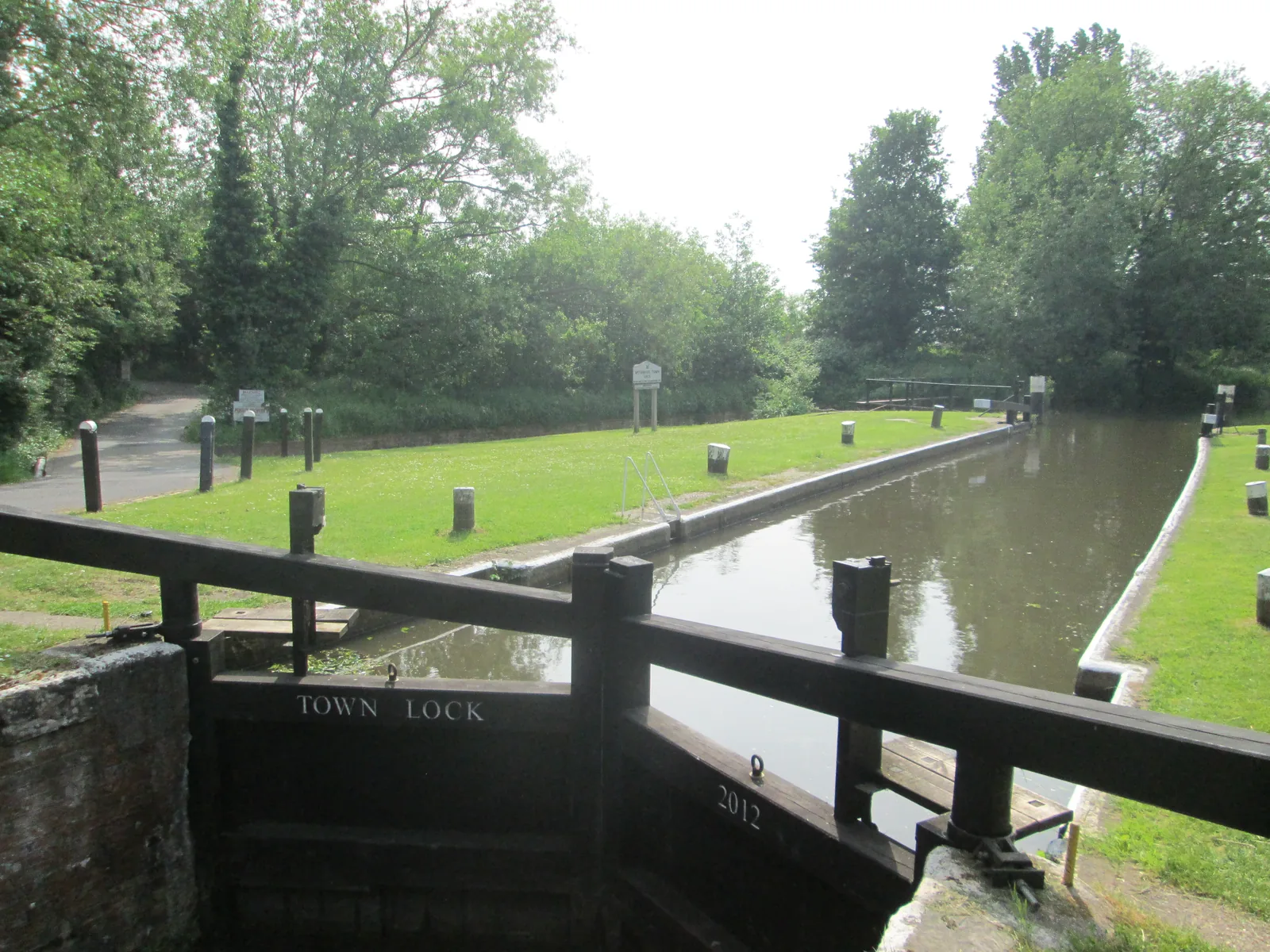
Weybridge sits at the confluence of the River Wey and the River Thames, with Brooklands Community Park identified in Policy CS4 as Suitable Accessible Natural Greenspace for the Thames Basin Heaths SPA, and the Metropolitan Green Belt on the edge of the town. Policy CS13 requires avoidance or mitigation for new residential development likely to affect the SPA; applicants should check whether a specific Weybridge site falls inside the 5 km zone rather than assume that it does. Net gain and Habitat Regulations tests are separate requirements.
Elmbridge Borough Council applies the statutory biodiversity net gain duty under the Environment Act 2021, which requires a minimum 10 per cent gain for qualifying development, together with Policy CS15 of the Core Strategy, adopted on 20 July 2011, and Policy DM21 of the Development Management Plan, adopted on 15 April 2015. The adopted policies seek to avoid net loss and, where feasible, achieve a net gain, but they do not set a higher local percentage. The council's Biodiversity Duty Report, dated 26 March 2026, confirms that the council has been applying the statutory 10 per cent minimum. Policy CS13's protection of the Thames Basin Heaths SPA is additional to net gain where a site is affected. Confirm the current validation requirements with the council before submitting.
Local plan: Elmbridge Core Strategy (adopted 20 July 2011) and Development Management Plan (adopted 15 April 2015) (The Core Strategy was adopted on 20 July 2011 and the Development Management Plan on 15 April 2015. These remain the adopted development plan as of 13 November 2026. A previous draft Local Plan was withdrawn from examination in 2025 after the inspector indicated it would be found unsound. A new Local Plan is at scoping consultation (4 November to 9 December 2026), with adoption scheduled for 16 August 2029; it is not adopted. The Core Strategy plan period runs to July 2026, but the adopted policies remain in force until replaced. Under local government reorganisation, plan-making passes to the new East Surrey unitary council on 1 April 2027.)
CS15: Biodiversity
Seeks to avoid loss and contribute to a net gain in biodiversity. The policy protects designated sites, including those relevant to the Thames Basin Heaths SPA and the South West London Waterbodies SPA, protects woodland including ancient woodland, and protects priority habitats and species. Clause 8 requires that new development does not result in a net loss of biodiversity and, where feasible, contributes to a net gain through the incorporation of biodiversity features. It does not set a percentage. National sites named in the reasoned justification include Esher Common SSSI.
DM21: Nature conservation and biodiversity
Expects all new development to preserve, manage and where possible enhance existing habitats, protected species and biodiversity features, in accordance with Core Strategy Policy CS15. Support is given to proposals that incorporate new biodiversity features. Development affecting internationally designated sites is considered against Policies CS13 and CS15 and relevant legislation. Development affecting nationally designated sites will not be permitted if it would have an adverse effect, except in exceptional circumstances where the benefits clearly outweigh the harm, with avoidance, mitigation and compensation sought. Significant harm to locally designated sites or to priority habitats and species will not be permitted. Potential SANG sites identified on the Policies Map are protected from development that would compromise that function. The presumption in favour of sustainable development does not apply to development affecting international sites.
DM6: Landscape and trees
Requires development to include an integral scheme of landscape, tree retention, protection and/or planting that reflects or enhances the existing landscape, contributes to biodiversity, and does not result in the loss of or damage to significant trees and hedgerows unless, in exceptional circumstances, the benefits would outweigh the loss. Existing trees, including their root systems, must be adequately protected before, during and after construction. Loss or deterioration of irreplaceable habitats, including ancient woodland and ancient or veteran trees, is not accepted unless, in exceptional circumstances, the benefits would outweigh the loss. The policy also covers works to trees protected by a Tree Preservation Order.
CS26: Flooding
Requires development to be located, designed and laid out so that it is safe, flood risk is minimised and risk is not increased elsewhere, with residual risks safely managed. Permission is only granted where a sequential test shows the site is in the lowest appropriate flood risk zone in accordance with national policy and the Elmbridge Strategic Flood Risk Assessment, and where development would not constrain the natural function of the flood plain. Development in Flood Zones 2 or 3 requires flood resistance and resilience measures. New development must include SuDS; all development in Flood Zones 2 and 3 must control surface water runoff at greenfield rates as near to source as possible. The policy covers both fluvial and surface water flooding and takes account of climate change. Reasoned justification records comprehensive flood defence and alleviation works along the River Mole after the 1968 floods, and residual risk behind Lower Mole defences.
CS13: Thames Basin Heaths Special Protection Area
Requires new residential development likely to have a significant effect on the Thames Basin Heaths SPA to demonstrate adequate avoidance or mitigation, agreed with Natural England. A 5 km zone of influence applies, with a 400 m exclusion zone where mitigation is unlikely to protect the integrity of the SPA. Outside the exclusion zone but within 5 km, mitigation is required prior to occupation and in perpetuity, based on access management and Suitable Accessible Natural Greenspace. Applicants should check current mapping for a specific site rather than assume a town centre falls inside the zone.
General guidance for biodiversity net gain (bng), not formal advice for your site.
Elmbridge Borough Council. From 1 April 2027 planning powers pass to the new East Surrey unitary council under local government reorganisation.
Yes, for qualifying applications. The council applies the statutory minimum of 10 per cent under the Environment Act 2021. Policy CS15 already sought to avoid net loss and, where feasible, achieve a net gain, but it does not set a higher local percentage. Confirm the current validation requirements with the council.
Policy CS13 requires avoidance or mitigation for new residential development likely to have a significant effect, including a 5 km zone of influence. Brooklands Community Park is an identified SANG. Check current mapping for the specific site. This test is in addition to biodiversity net gain.