Featured partner
Recommended for Barking

ROAVR Group
Tree, ecology, flood risk and topographical surveys for planning applications.
4.9 Google rating
Get a quote
Local experts.
Featured partner
Recommended for Barking
Tree, ecology, flood risk and topographical surveys for planning applications.
4.9 Google rating
Local experts.
Measured building and land surveyors trading from 111 Gosterwood Street in Deptford, in…
Land and building surveying company with offices in Surrey (Dunsfold Park), London,…
Land and measured-building survey practice with a London office in Crystal Palace.
Land survey and site engineering practice based in Chesham, north-west of the M25.
A topographical survey in Barking Town Centre records levels, boundaries and features around Abbey Green and Barking Abbey, and it underpins tree, drainage and design work. The local planning authority is the London Borough of Barking and Dagenham. Policy DMNE 5 of the Barking and Dagenham Local Plan 2020–2037, adopted on 18 September 2024, addresses trees, which are usually plotted on an accurate survey. The February 2026 FULL validation checklist expects root protection areas to be shown on proposed layout plans. Policies DMSI 6 and DMSI 7 also rely on site levels when flood risk and water management are assessed. Policy G7 of the London Plan, published on 2 March 2021, also forms part of the development plan.
Local planning authority: London Borough of Barking and Dagenham
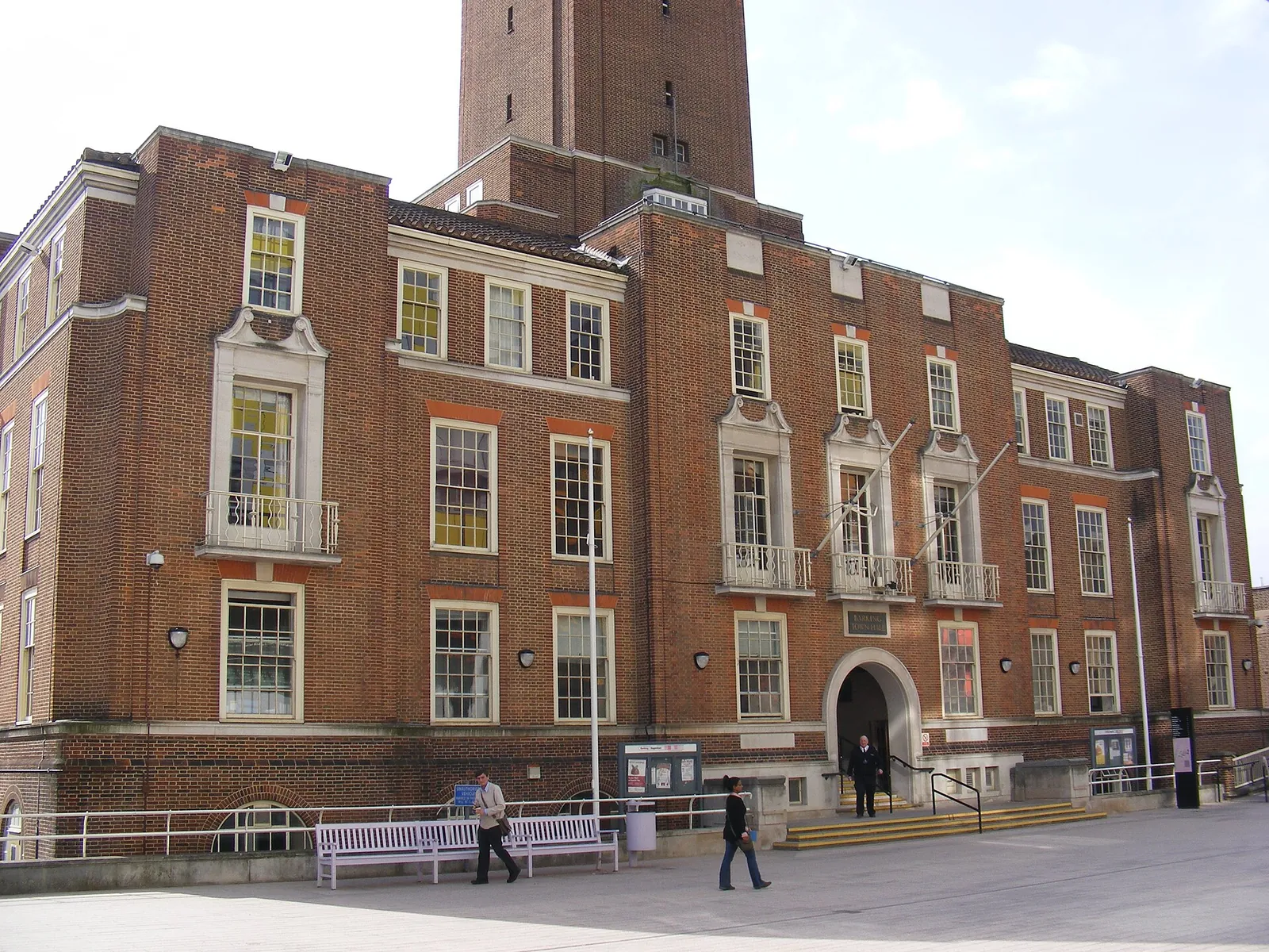
A survey in Barking Town Centre should pick up trees, levels and any water features linked to the River Roding, Barking Creek and Abbey Green, especially where surface water flood risk is a concern. Dagenham Heathway is an area covered on these pages.
The London Borough of Barking and Dagenham uses accurate site information when it assesses trees under Policy DMNE 5 and flood risk and drainage under Policies DMSI 6 and DMSI 7 of the Barking and Dagenham Local Plan 2020–2037, adopted on 18 September 2024, together with the London Plan published on 2 March 2021. Confirm the current local validation requirements with the council before submitting.
Local plan: Barking and Dagenham Local Plan 2020–2037 (The Barking and Dagenham Local Plan 2020–2037 was adopted on 18 September 2024 and is the adopted local plan. The London Plan, published on 2 March 2021, also forms part of the development plan. There is no 2027 successor council for this borough.)
DMNE 5: Trees
Policy DMNE 5 of the Barking and Dagenham Local Plan 2020–2037, adopted on 18 September 2024, sets out how development should protect and manage trees.
DMNE 2: Urban greening
Policy DMNE 2 requires development to demonstrate a minimum of 10 per cent biodiversity net gain. That restates the statutory minimum and does not set a higher local percentage. It also addresses urban greening.
DMNE 3: Nature conservation and biodiversity
Policy DMNE 3 protects nature conservation and biodiversity, including designated sites and habitats.
SP6: Green and blue infrastructure
Policy SP6 sets the strategic approach to green and blue infrastructure in the borough.
DMSI 6: Flood risk and defences
Policy DMSI 6 requires development to manage flood risk and to take account of flood defences.
DMSI 7: Water management
Policy DMSI 7 addresses water management, including sustainable drainage.
General guidance for topographical survey, not formal advice for your site.
The London Borough of Barking and Dagenham. The London Plan also forms part of the development plan. The borough is the Lead Local Flood Authority. There is no 2027 successor council for this borough.
An accurate survey of levels, trees and boundaries supports the tree survey required by the February 2026 validation checklist and the flood risk and drainage work required by Policies DMSI 6 and DMSI 7.
Yes. The London Plan, published on 2 March 2021, forms part of the development plan. Policy G7 and Policies SI12 and SI13 are the London Plan policies most often read alongside a site survey.
No other published town guides for this survey in the council area yet.